100%
Global Coverage
Kinéis is an innovative satellite system operator offering the first European constellation of nanosatellites dedicated entirely to the Internet of Things (IoT). Backed by 40 years of Argos system heritage, Kinéis delivers low power, affordable, and 100% global connectivity for remote tracking and monitoring applications.

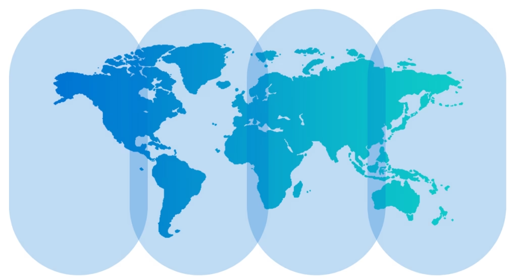
With 85% of the Earth’s surface lacking terrestrial network coverage, Kinéis bridges the global connectivity gap. Operating a dedicated Low Earth Orbit (LEO) satellite constellation, Kinéis enables low power devices to transmit essential telemetry – such as position, temperature, pressure, or status alerts – from anywhere in the world, including open oceans, remote desert regions, mountains, and polar zones.
100%
Global Coverage
650 km
Orbital Height
19 Bytes
per message upload
The Kinéis network operates at a Low Earth Orbit altitude of 650 km. Comprising 25 next generation nanosatellites complemented by nine legacy Argos-carrying satellites, the constellation completes full orbital rotations every 100 minutes.
Transmissions from remote IoT devices are picked up by passing satellites and relayed down through a global network of 20 ground stations to secure operations centers. This architecture provides high network capacity and frequent satellite revisits averaging 15 minutes globally, delivering user data within minutes of transmission.
In addition to transmitting sensor data, Kinéis features native Doppler-based positioning calculated directly by the satellite network.
By measuring the frequency shift of the radio signal as a satellite passes overhead, the system calculates the exact location of the asset without requiring an onboard GPS or GNSS receiver. This eliminates the heavy power draw of traditional positioning hardware, extends field deployment life, and guarantees location data integrity by preventing terminal-level spoofing or tampering.
Optimized for Very Low Data Rate (VLDR) applications, Kinéis is built for ultra-efficient transmission. Devices transmit concise uplink messages containing 19 Bytes of user payload (sufficient for location, sensor readings, and status codes). The network also supports two way communication, delivering 16-Byte downlink messages for automated message acknowledgments and remote device reconfigurations.
Kinéis easily integrates into hybrid connectivity architectures. Connected devices can utilize terrestrial cellular or LPWAN networks where available and automatically failover to the Kinéis satellite network when operating beyond terrestrial reach, optimizing operational costs and conserving battery life.
Data privacy and security are embedded across the entire communication chain. Transmissions from remote terminals to satellite payloads, ground stations, and central processing systems adhere to stringent global data security standards and GDPR privacy frameworks. This ensures end-to-end data integrity, confidentiality, and secure data routing for international enterprise operations.

Vessel positioning, fishing fleet management, and S-AIS tracking beyond coastal VHF reach.

End-to-end container monitoring, multimodal transport tracking (rail, sea, and road), and high-value asset visibility.

Remote monitoring for water management, pipeline integrity, high-voltage power lines, and isolated energy assets.

Livestock tracking, forest fire early warning, weather station data collection, and wildlife conservation monitoring.
Are you planning a satellite-enabled IoT project and need to know if the Kinéis constellation will meet your needs? Get in touch!
With over 20 years of experience managing remote connectivity worldwide, our technical specialists are on hand to answer questions, evaluate hardware compatibility, or help compare Kinéis with other satellite constellations for your deployment.