Global Position Monitoring
Real time and historical visibility of where your assets are and have been. Track their location, speed and heading, no matter where they are on the globe.
Unlimited Custom Geofences
Easy to create geofences to help you manage the location of your fleet. Set up custom profiles for device behavior on entry/exit, e.g. speed up/send alert

Instant Alert Notifications
Emergency alerts appear visually in the dashboard, date and time stamped, so you can rapidly provide assistance. They’re also emailed to nominated contacts.
Map Based Interface
With multiple mapping options available, including terrain and satellite imagery, you can choose the one that best suits your needs.
Global Tracking and Asset Management
Whatever you wish to monitor and locate, Cloudloop Tracking provides essential GPS or GNSS capability according to your device’s capability.
Locate your assets, know where they have been, and view a recorded visual audit of their movement. The platform’s mapping capabilities make visible real time tracking behavior.
For team safety, route monitoring, and asset security, configure your assets and set, or update, tracking frequency. Cloudloop automates manual check-ins, and can raise alerts in the case of any unusual activity or when preset parameters are exceeded.
Providing peace of mind and visibility of your team, aircraft, or fleet, 24/7.
Define Monitoring Zones, Fields or Boundaries
The geofencing capability of the platform enables boundary mapping, for a triggered response dependent on entry, exit, or defined waypoints. This functionality creates plenty of versatility for your journey monitoring.
Define ‘no flying or no fishing zones’ or map areas of high risk or volatile environmental behavior. Outline different data reporting behaviors, for instance, in a crop rotation, or through known hazardous terrain, or indicate boundaries for logistical check-in and check-out, qualifying job completion, or drop-zone success.
Geofence zones, reporting behavior profiles, and triggered alerts are all customizable within the platform and provide a broad set of parameters for tracking use cases across all industry verticals.
Automating and Initiating Alerts
The frequency of data reporting can be updated to the device from the platform with remote device configuration. Emergency alerts appear visually on the dashboard, date and time stamped. Automated email and SMS notifications are sent to your designated contacts.
Tailor your alerts for unexpected asset movements or geofence breaches. Customize the behavior of your tracking device to gather additional insights from your fleet, or adjust the reporting frequency when an anomaly occurs.
The addition of defined boundary zones or video imagery provides powerful capabilities. Everything from recording environmental markers such as flood zones and forest fires to last known location sightings and supporting emergency response.
Fleet Customization
Fleet management isn’t always a one size fits all solution, and our tracking interface is designed for personalization.
Once your tracking devices are added, you can name and label assets, add visual images, icons and notes, associate driver or pilot names with important information and create your own tags for quick and easy search.
Shape the platform to work for you, and optimize your record-keeping and fleet administration for operational ease, and any routine auditing.
Search Assets and Tags
The main dashboard provides a search function for all of your tracking devices. Tagging devices helps to categorize the fleet according to your preferences, for example, highlighting ‘leased vehicles’ or assets ‘out of service’.
Visualize your fleet in real time across four map layouts, including terrain and satellite imagery.
Select individual assets to view detailed information on speed, heading, altitude (aircraft only), GPS coordinates, and the battery life of your tracker, all date and time stamped.
As the reporting frequency is software based, these profiles are set up as configurations on your device, or you can remote manage this yourself through the platform.
Iridium Enabled Trackers
Iridium’s LEO satellite constellation delivers truly global coverage, including remote oceans, polar regions, and isolated land areas. It supports two way data transmission, ensuring real time asset tracking, remote diagnostics, and emergency alerts even in the most challenging environments.
With low latency and high reliability, Iridium is ideal for tracking high value assets, critical infrastructure, and mobile fleets operating beyond cellular coverage.
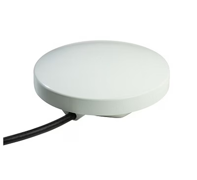
RockAIR
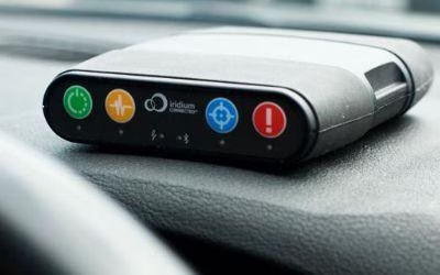
The RockAIR is a global tracking and messaging device designed for use on the dashboard of light aircraft or rotorcraft.
RockFLEET
The RockFLEET Tracker is a global tracking device designed for permanent use aboard marine vessels and land vehicles.
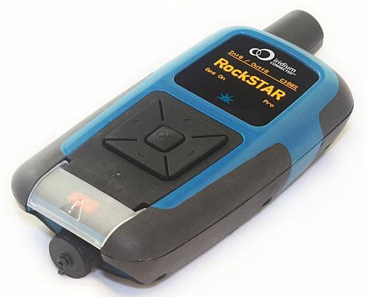
RockSTAR
The RockSTAR two way messenger is a global communication device and remote or lone worker tracking system.
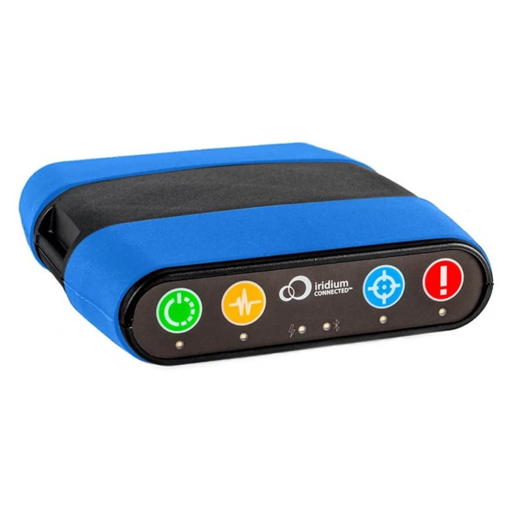
RockDASH
The RockDASH is a portable, dash-mounted, vehicle tracking and messaging device used to monitor GPS location and vehicle movement.
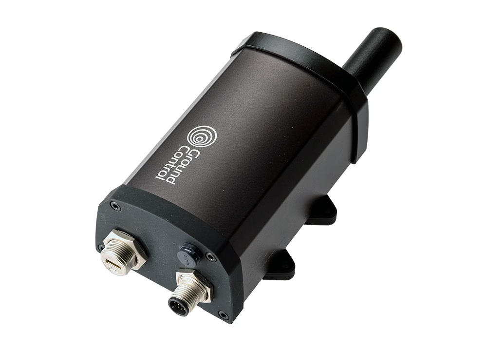
RockBLOCK Pro
RockBLOCK Pro is a satellite IoT gateway that utilizes the Iridium 9704 module with Iridium Messaging Transport (IMT) to send data packets of up to 100 kB.
Globalstar Enabled Trackers
Globalstar operates a Low Earth Orbit (LEO) satellite network, providing cost-effective regional coverage across North America, South America, Europe, Australia, and parts of Asia. Its simplex (one-way) data transmission makes it ideal for low cost asset tracking, offering scheduled position updates with minimal power consumption.
Globalstar is well-suited for land-based and nearshore tracking applications where regular but non-continuous location reporting is sufficient.
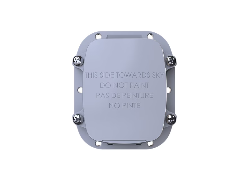
Globalstar SmartOne C
The SmartOne C is a compact, battery-powered satellite tracker designed for reliable, long-term asset monitoring.
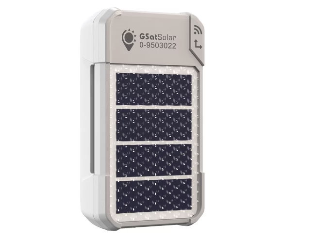
Globalstar GSatSolar
The GSatSolar is a solar battery powered, lightweight, rugged IP68 device for remote asset tracking and IoT applications.
Integrate Tracking features
A comprehensive set of developer tools and detailed documentation help facilitate the integration and effective addition of our tracking functionality into your own solution.
These resources are designed to help you customize and extend the capabilities of our platform and messaging solution to meet your project or business specific needs.
API capabilities cover a broad range of functions including: real time and historical device messages, fleet and device management, two-way messaging, and delivery status monitoring.
For an API OverviewFrequently Asked Questions
Our functional APIs, enable you to seamlessly incorporate Cloudloop Tracking directly into your solution. Leverage robust tracking capabilities without the need to engineer an entirely separate tracking platform from scratch.
Our focus remains on supporting straightforward and universal location-tracking applications, and we don’t plan to develop features tailored to specific industries. However, we collaborate with solution partners who specialize in highly comprehensive tracking solutions for vessels, fleets, and aviation.
These advanced partner platforms boast unique functionalities such as programmatic alerts, integrated two-way messaging, overlaid weather reporting, and additional telemetry reporting.
If you have specific industry or use-case requirements, we are more than willing to direct you to our tracking partners who can cater to your specialized needs.
Yes, Cloudloop Tracking has been designed mobile-first, so all of the functionality is available and easy to use on a small screen.
Subscription Manager
Utilize to activate your devices, manage your airtime and organize your billing groups.
Device Manager
Remotely monitor device status and push firmware or configuration updates without on-site access.
Cloudloop NOC
Gain expert support and live visibility into network performance, uptime, and traffic trends 24/7.
Cloudloop Data
Oversee your data management and control data flow, choosing from a broad range of fully integrated destinations.
Would You Like to See More?
Coupled with our tracking devices, Cloudloop Tracking delivers global visibility of your assets, helping to improve safety, prevent loss/theft, and optimize asset usage.
Whether you’re an existing Rock tracker user, a new customer, or a potential software partner, please complete the form, or email hello@groundcontrol.com to book a free demo of Cloudloop Tracking.