How we Support Environmental Sensing
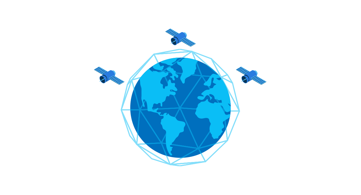
Truly Global Connectivity
Rugged and remote topography results in limited infrastructure and patchy cellular coverage. Satellite offers two-way connectivity, with no tower infrastructure, connecting sensors anywhere globally with a clear sky view.
Scalability
Our services are designed to scale, along with our customers’ growth. Our device-agnostic IoT platform (with developer friendly APIs) and technical expertise support your development, no matter how big or small.
Withstanding the Elements
If sensors are located in polar regions or in a data buoy at sea, for example, they need to be tough. Our rugged, IP-rated satellite devices are capable of surviving water submergence and extreme temperatures, on land or sea.
Creating Resiliency
When sensor data connectivity is mission-critical, such as in disaster recovery, there is a risk that the existing network might fail. Satellite connectivity ensures resilience, providing the data you need to make key decisions and take action.
Solving Sensor Network Communication Challenges
84% of IoT deployments are addressing or have the potential to address the UN’s sustainable development goals. Satellite IoT holds immense potential for reshaping global sustainability initiatives.
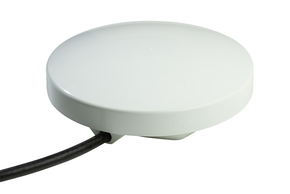
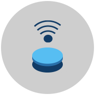
 Global Connectivity
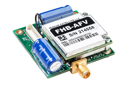
 Keeping Power Usage to a Minimum
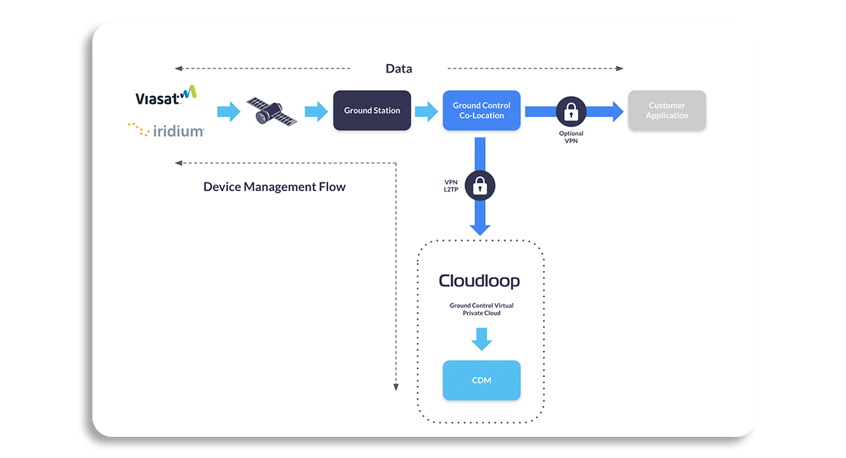
 Managing Your Data
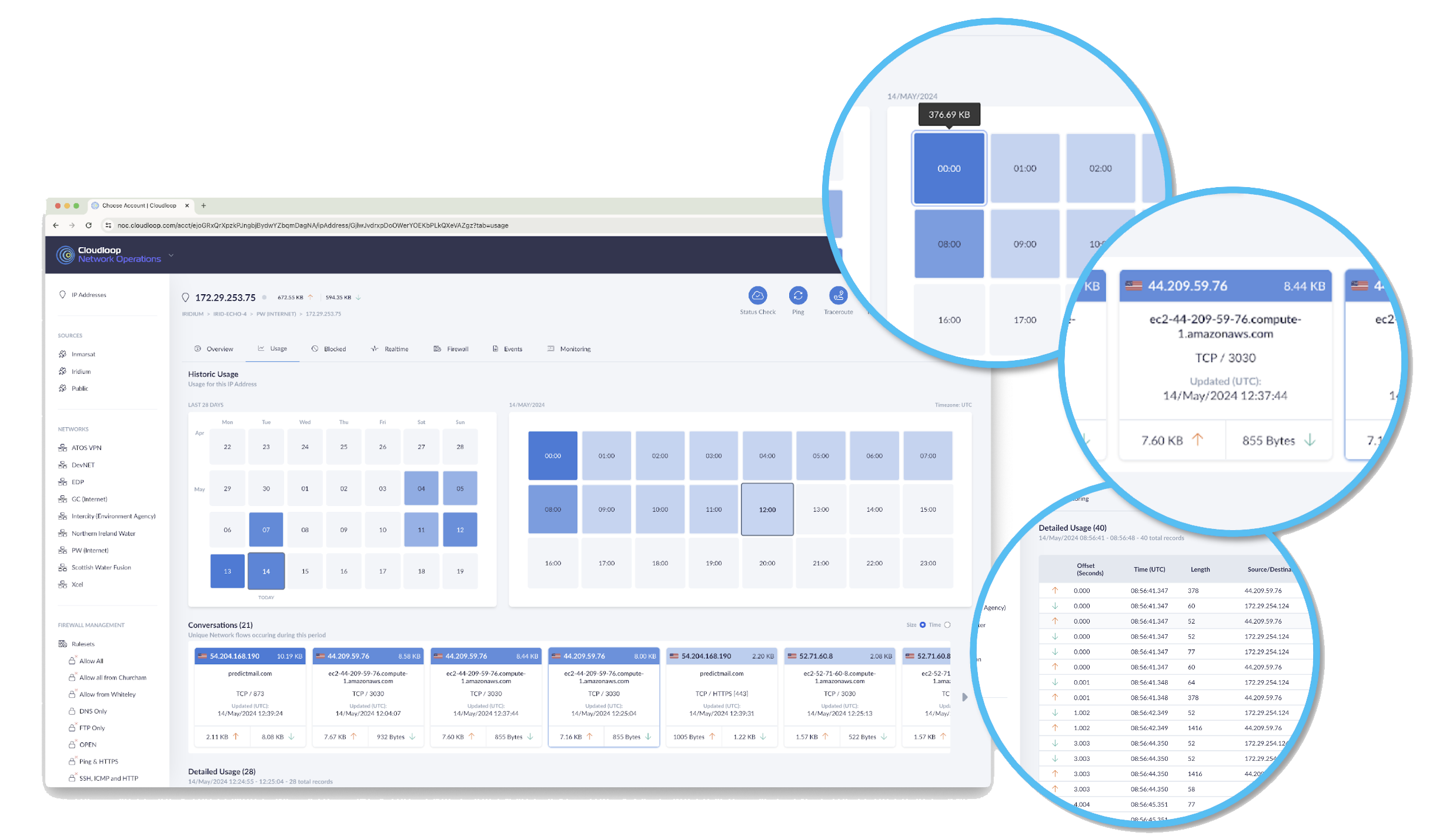
 Reliable, Secure Network Visibility
 Remote Device Access
Remote off-grid sensor networks suffer from a lack of cellular connectivity, unreliable date and time stamps on messages, and the frequency of node failure during transmission.
Satellite connectivity provides secure, two-way, reliable connectivity for your sensor data, or redundancy, if the cellular or LPWAN network fails.
Iridium’s service is renowned for its 100% global connectivity and flexible data rates. Connecting you to your individual sensors, data loggers or gateways anywhere with a clear view of the sky.
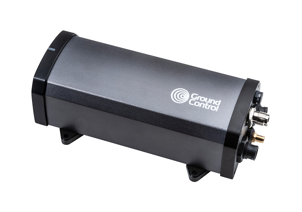
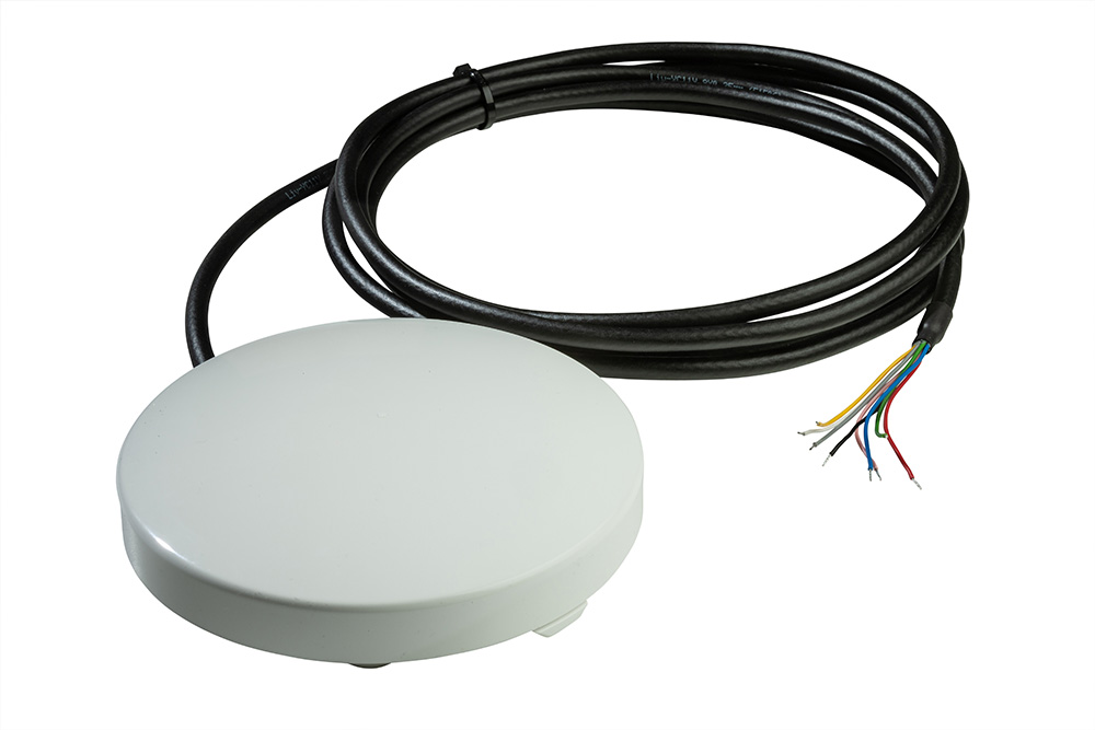
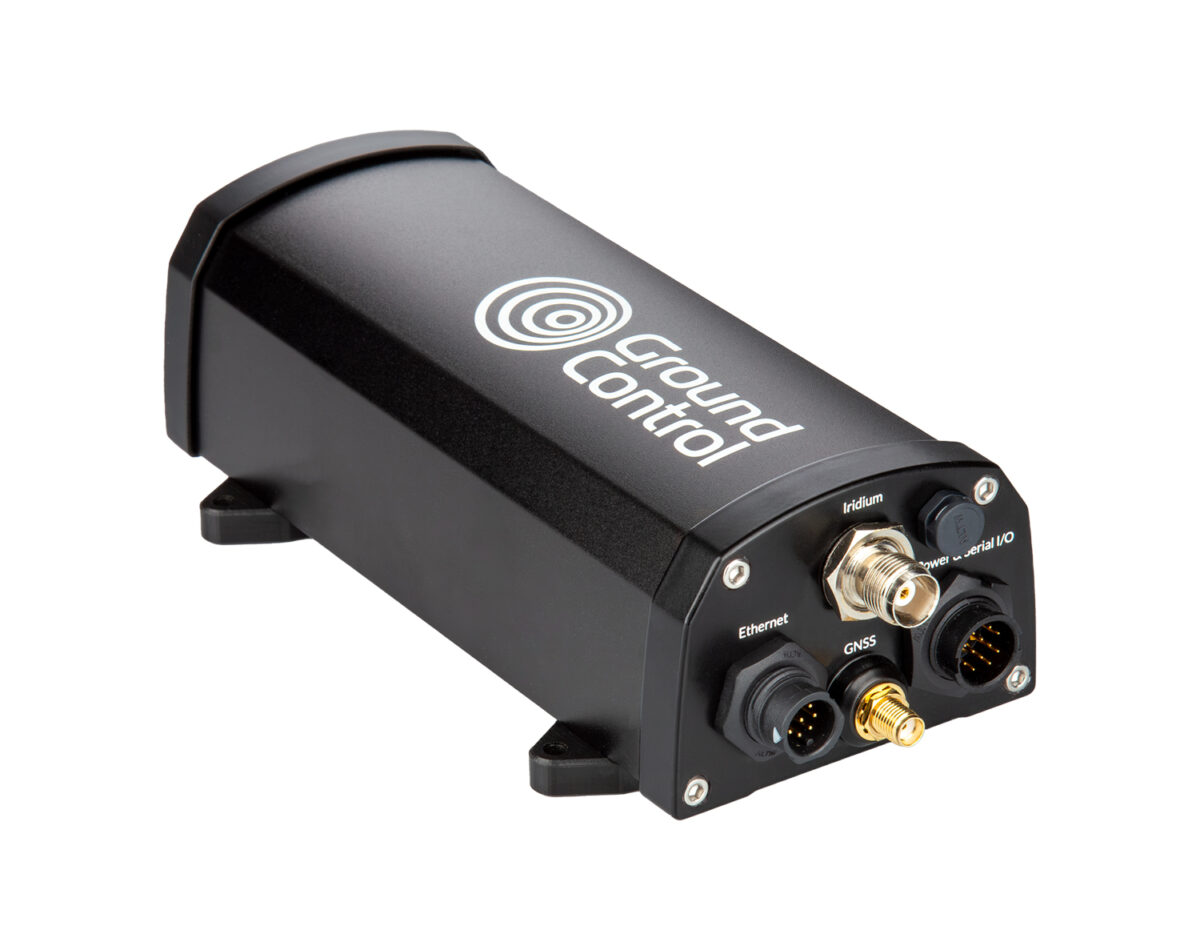
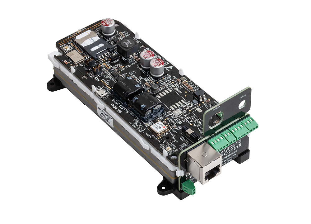
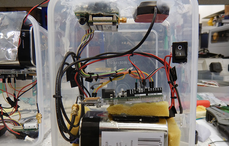
Our RockREMOTE Mini and Mini OEM devices testify to our commitment to support low power networking. When power supply is limited, we try to keep the energy demands of our satellite devices low.
RockREMOTE Mini provides message-based and TCP/ IP connectivity. It uses less than 0.25 watts in receive mode and peak current draw is less than 1.66 amps at 12 volts. It also supports Power over Ethernet and is easily integrated into existing enclosures.
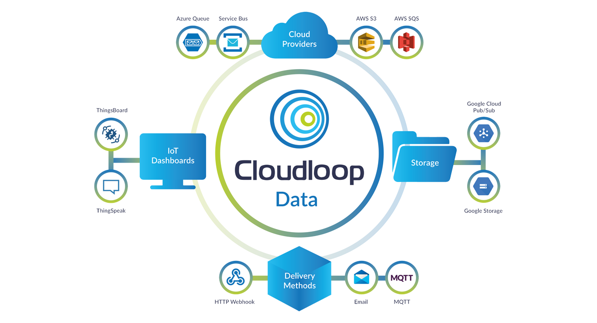
With versatile connectivity options, our devices connect sensors, or backhaul LPWAN gateway data to destinations of your choice. All data can be managed via our Cloudloop Data platform or via our developer-friendly APIs.
You can route it anywhere, including your inbox, so you can pick it up from your laptop, away from volcanic or landslide activity. With pre-coded end destinations built into the Cloudloop platform, we’ve done much of the development work, so you don’t have to.
We understand the need for control and security for sensitive real-time data that informs critical decision-making, government and environmental policy, or emergency response.
Supported by Cloudloop Data and NOC (Network Operating Centre), take a real-time view of your data transmissions down to packet level, IP address, and geographical origin, and amend firewall rules to protect your transmissions.
So you always have a handle on your satellite connectivity and network performance, giving full peace of mind.
Cloudloop Device Manager enables you to connect to your device remotely. You can access service and system logs to enable remote troubleshooting and update the firmware of your satellite device, no matter where you are located.
This is ideal when your network is positioned in an unhospitable and/or hard to reach area, as it eliminates the cost and risk of sending someone into the field to resolve the issue.
“Ground Control improves the efficiency and quality of our environmental data gathering. By installing a RockBLOCK in our PTM we can guarantee a great investment and low running costs, reliability, resilience, operator ease of use installation and operation, data accuracy, quality assurance, quality control and data security.”
Obscape Environmental Monitoring
Connecting your Sensors
Small Data Volumes
If you're looking for a remote switch or variable sensing measurement device, RockBLOCK RTU's capabilities, with both analog and digital input/outputs and serial interfaces, plus proprietary or standards-based satellite connectivity, provide a versatile means of interfacing with remote equipment and sensor data.
Gateway Connectivity
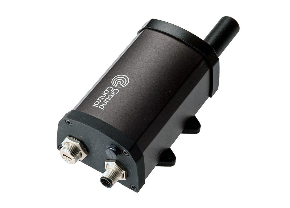
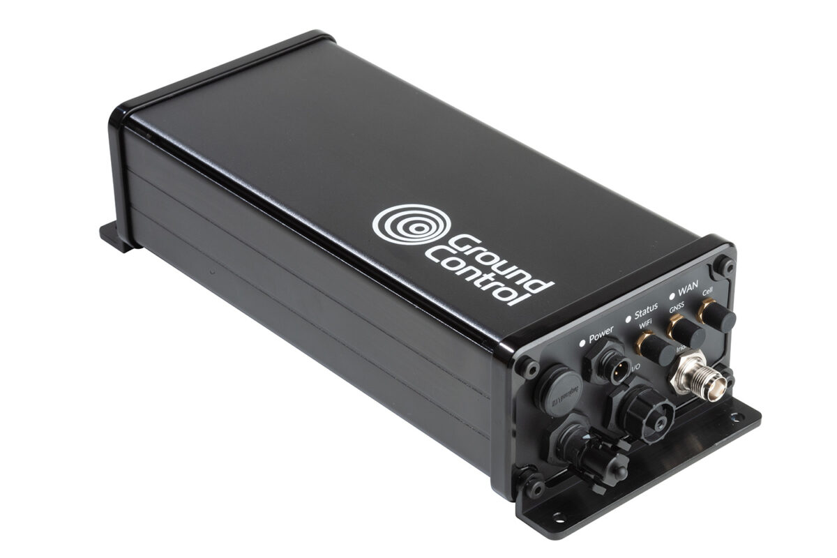
If IP or IMT connectivity is a requirement and your power supplies remain limited, RockREMOTE Mini and OEM offer very versatile connectivity solutions. With several interface options to connect you to your IoT gateway, data logger, and serial and sensor devices. These satellite gateway devices are the smallest and lightest Certus 100 satellite devices in our range.
Edge Computing
For critical real-time data transmissions, the RockREMOTE series features edge computing and can optimize data transport to report by exception, keeping airtime costs down. In addition to LTE failover, these devices support TCP/IP and video data compression software, enabling high resolution image and sound capture, and even compressed video.

Who uses Ground Control for Remote Environmental Sensing?
Scientists & Environmental Researchers
Biology & Research Technicians

University Research Programmes
Wildlife & Environment Management
Photographers / Videographers
NGOs, Governments & Commissions
Environmental Charities / Activists
Satellite-Enabled Environmental Solutions
-

Satellite-Connected Monitoring Helps Operators Access Alaska’s Tundra Earlier
How beadedstream uses RockBLOCK 9603 to backhaul tundra temperatures, helping operators forecast opening windows & access ice roads earlier.
Read more -
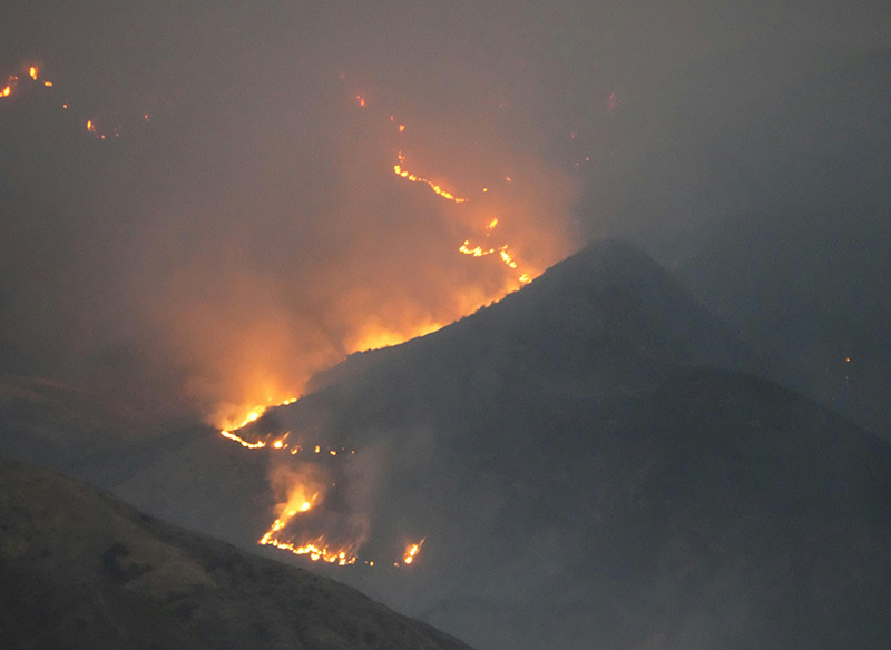
Remote Conservation at Wildfire Risk: Monitoring and Alerting with Satellite IoT
Wildfire risk is rising in remote conservation areas. See how satellite IoT can support early detection, reliable alerts, and response beyond cellular coverage.
Read more -
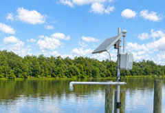
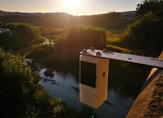
Keeping Flood Monitoring Data Flowing When It Matters Most
How Green Stream Technologies uses RockBLOCK with Iridium satellite connectivity to deliver reliable flood monitoring data from remote, rural, and high risk locations beyond dependable cellular coverage.
Read more -
Mapping Monsoon Currents to Support Coastal Livelihoods
How NOC used RockBLOCK 9603 and Iridium to track monsoon currents in Tanzania’s Pemba Channel; low cost ocean data that supports fisheries, policy and livelihoods.
Read more -
Karbon-X Leads the Way in Carbon Emissions Validation with RockREMOTE Rugged
Through the implementation of satellite IoT technology, Karbon-X has transformed how carbon emissions are monitored and how the effectiveness of reforestation projects is validated.
Read more -

Satellite-Enabled Tsunami Early Warning System
As a critical communications network, there was never any question that ASC’s early warning system would need to utilise satellite connectivity, both for the coverage requirements and network reliability. Commercial terrestrial power and communications networks tend to perform poorly in a disaster – either through overuse or damage to their infrastructure.
Read more -
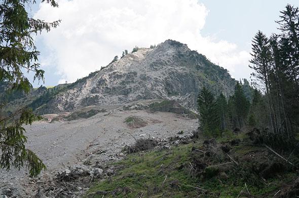
Automated Landslide Monitoring
Slide Sentinel is a fully automated landslide monitoring system using RTK. It regularly monitors landslide activity with high spatiotemporal resolution and centimetre-level accuracy for long-term deployments. Measuring this way aids in early warning information and limits the use of invasive and expensive drilling.
Read more -
The role RockBLOCK 9603 Plays in the Removal of Carbon from Open Oceans
Running Tide is developing a global carbon removal system to integrate & amplify natural carbon removal pathways. Here’s how Satellite IoT – specifically the RockBLOCK 9603, powered by the Iridium network – helps.
Read more -
Environmental Monitoring and Reporting
A Government Agency responsible for coastal, stormwater and catchment management has assigned Ground Control customer Obscape to assist with reporting on areas such as – monitoring and reporting on catchment management, flood risk areas, storm drains and drainage ditches with the aid of the RockBLOCK.
Read more -
BGAN M2M’s Role in Soil Moisture Monitoring to Help Combat Climate Change
As well as optimum vegetation and crop management through soil moisture monitoring, measuring soil moisture also helps to inform our understanding of how the natural environment responds to climate change. Here’s how the IoT Pro (BGAN M2M) service is supporting this initiative.
Read more -
Keeping Canada’s Waterways Clean and Safe with RockBLOCK Plus
2,700 wrecked boats present a hazard for Canada’s pristine marine environment. Incorporated into Barnacle Systems’ Rapid Deploy units, here’s the role satellite IoT plays in the clean-up operation.
Read more -
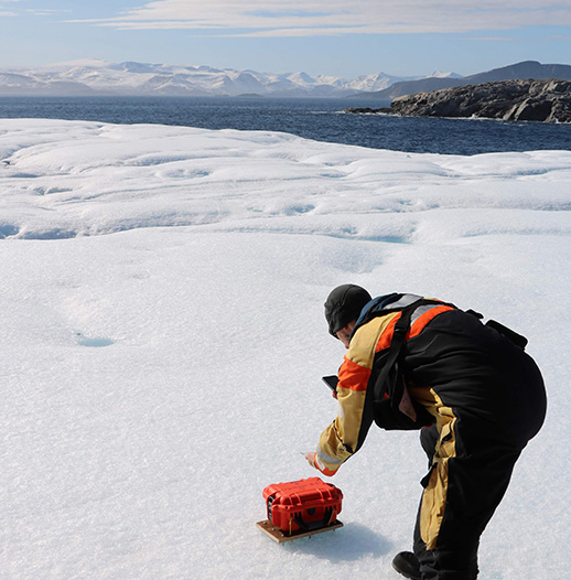
Iceberg Monitoring with the RockSTAR
The Laboratory for Cryospheric Research is dedicated to the monitoring and understanding of the frozen earth, including glaciers, ice caps, ice shelves, snow, and sea ice.
Read more -
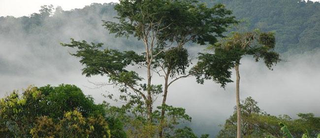
Preventing Illegal Deforestation
The world’s two largest rainforests, the Congo Basin and the Amazon, are under threat from illegal extraction activities. Unfortunately, authorities have long lacked the means and mechanisms to deal with these illegalities which destroy ecosystems and undermine both forest and indigenous people’s livelihoods.
Read more -
Transforming Arctic Iceberg Monitoring: Low-Cost, Open-Source Tracking Solutions
How innovative low-cost, open-source technologies like the Cryologger Ice Tracking Beacon are transforming iceberg monitoring in the Arctic.
Read more -
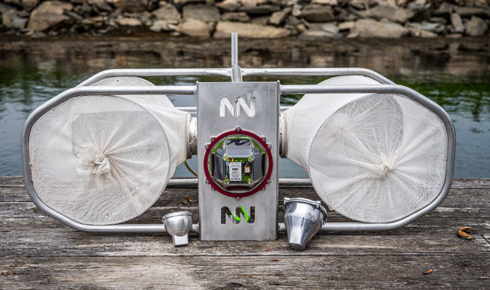
Smart Satellite Buoys Reducing Ghost Gear and Protecting Oceans
How Blue Ocean Gear’s smart buoys, powered by Ground Control’s Iridium satellite IoT connectivity, help fishermen track and recover gear in real time, reduce “ghost gear”, and unlock valuable ocean data.
Read more -
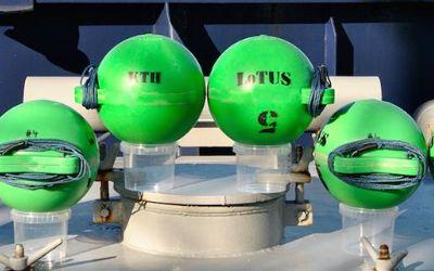
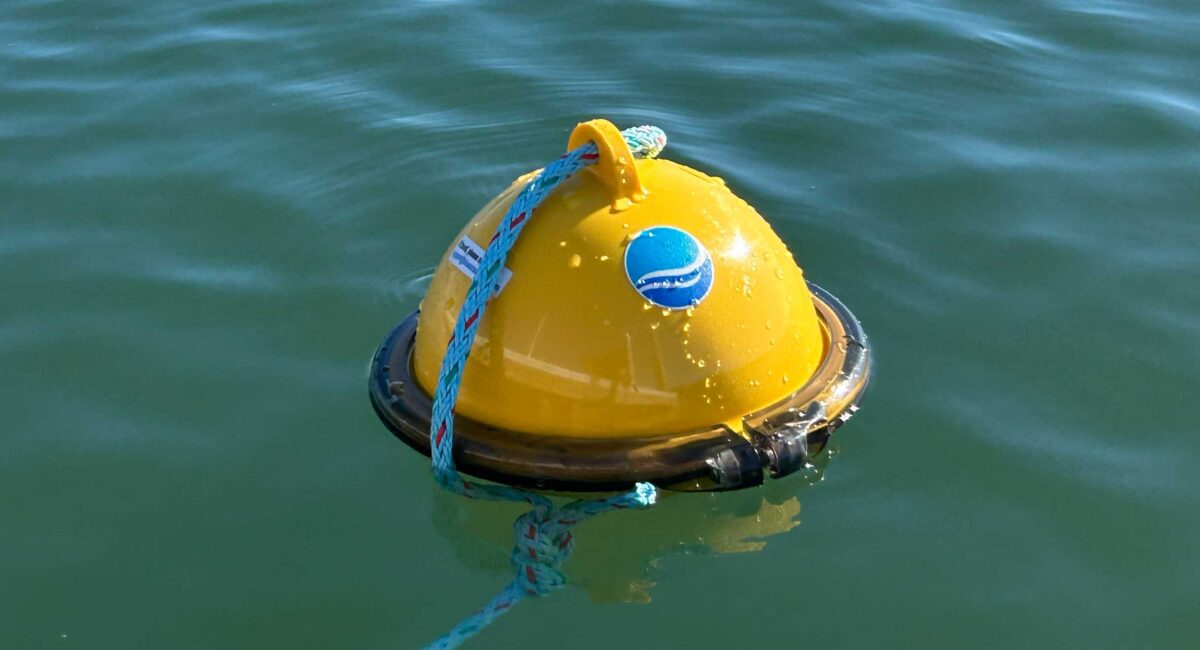
RockBLOCK selected for KTH Sweden Underwater Sensing Buoy
The Royal Institute of Technology of Sweden developed the LoTUS (long-term underwater sensing) buoy, a system for collecting oceanographic data from perhaps the most remote place on the planet – the polar region seafloor.
Read more -

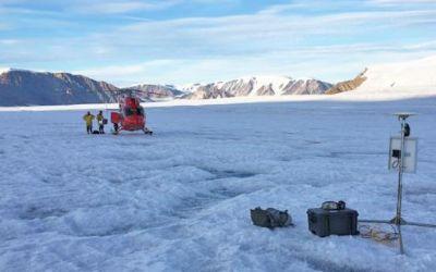
Tracking Glacier Melt on Everest: Satellite IoT in the Western Cwm
Satellite IoT is enabling daily, near real-time glacier monitoring on Everest’s Khumbu Glacier. See how RockREMOTE Mini and Iridium Certus 100 deliver remote data access at 6,500m.
Read more -
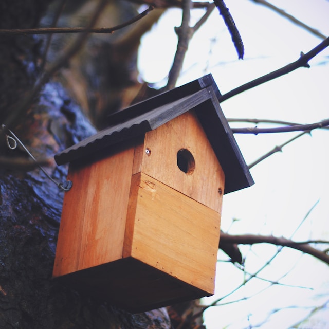
Smart Birdboxes for Remote Wildlife Monitoring
Okala operates at the forefront of conservation technology. Their challenge for Ground Control? Build a rugged, low-power system capable of collecting and transmitting wildlife data from anywhere in the world, even the most remote and inaccessible regions.
Read more

Would you like to Trial Our Satellite Device in Your Sensor Network?
With no project too big or too small, we are keen to see how our devices can support your environmental research and monitoring.
Simply complete the form, and one of our technical team members will respond with objective, expert advice. Or if you prefer to speak to someone directly, call us on +44 (0) 1452 751940 (Europe, Asia, Africa) or +1.805.783.4600 (North and South America).