Conservation
Vast areas of operation (AOO), remote territory, challenging terrain, and off-grid outposts make conservation, active patrolling, surveillance, and camera trap monitoring a difficult and dangerous task.
From scientific monitoring and research, to Ranger drills and training, to aerial surveillance and wildlife rescue, Ground Control’s solutions ensure data collection, monitoring and intel for real-time response. Ensuring your teams, equipment, and wildlife are tracked and protected at all times.
Off-Grid People, Wildlife and Vehicle Tracking

Smart Sensors
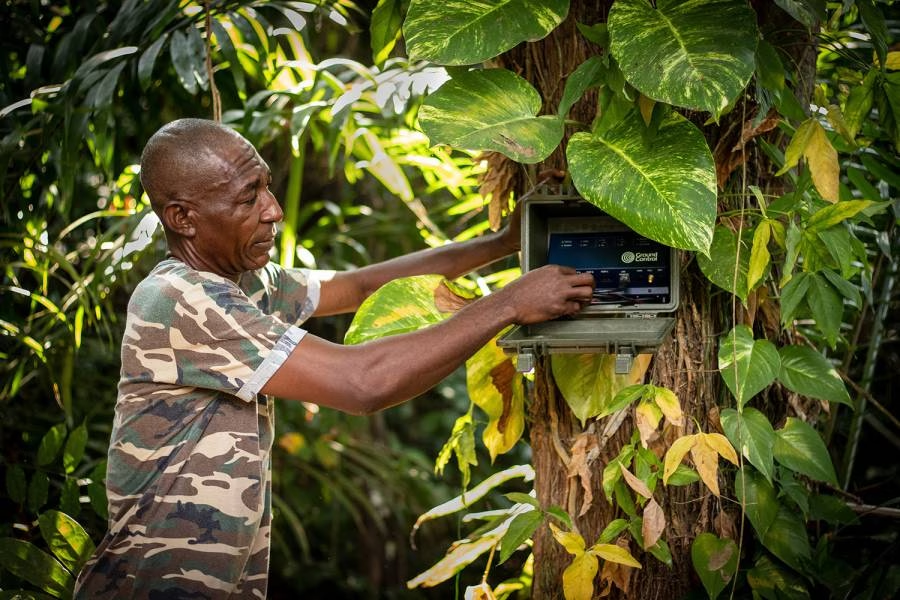
Connect environmental, acoustic, movement or security sensors deployed across remote conservation areas. Compact satellite transceivers can carry small but critical data points, alerts and device status without requiring mains power or local communications infrastructure.

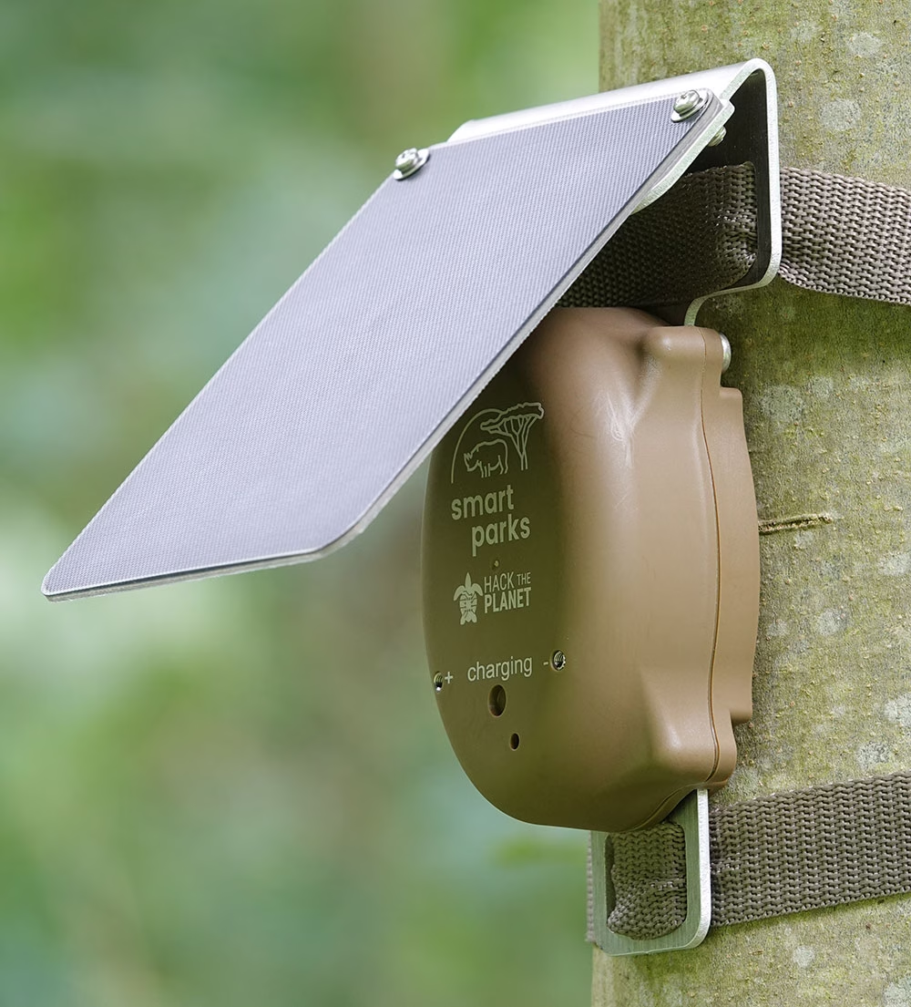
Camera Traps and Image Alerts
Transmit detection alerts, metadata or selected images from camera traps without waiting for equipment to be physically retrieved. The connectivity can be matched to the application, from compact messages and thumbnails to higher-volume image transfer.
Remote Monitoring and Control
Monitor gates, pumps, water systems, power supplies and other equipment used across reserves and field stations. Connected controllers can also trigger alarms or predefined responses when sensor values or operating conditions cross a threshold.

Drones and Autonomous Systems
Maintain command, tracking and telemetry links for UAVs and other unmanned systems operating beyond terrestrial coverage. The appropriate service depends on whether the application requires occasional messages, richer telemetry or a continuous IP connection.
Recommended Devices
Tracking and Monitoring
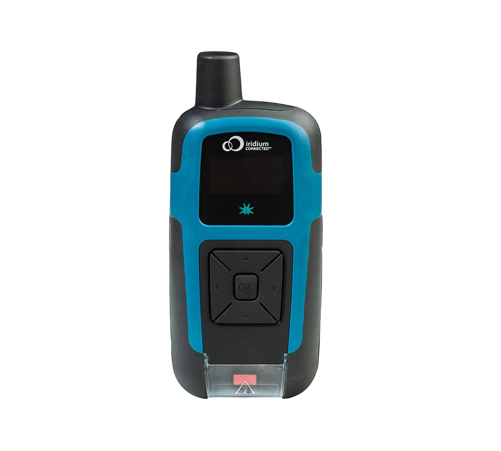
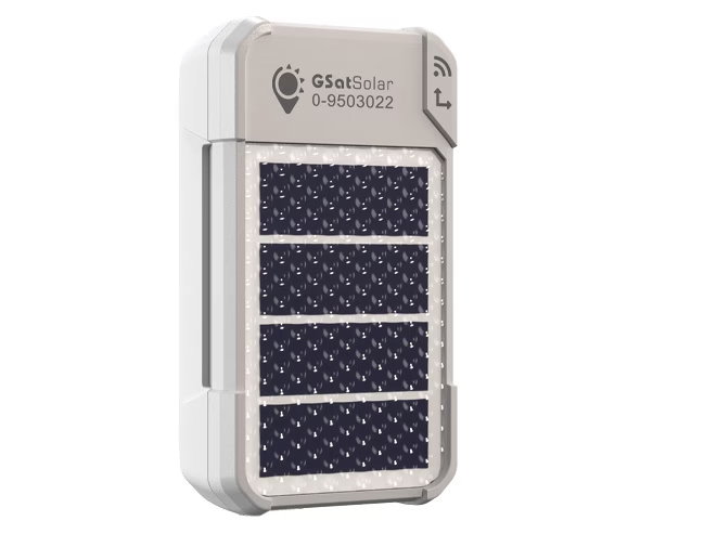
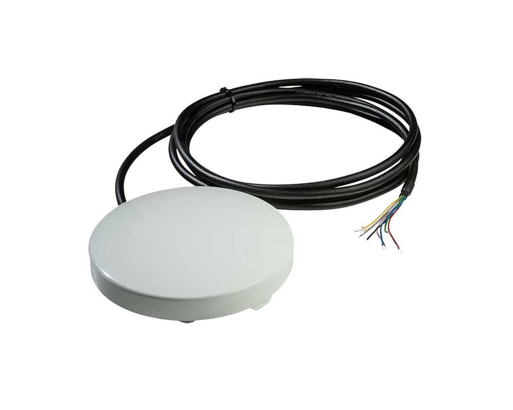
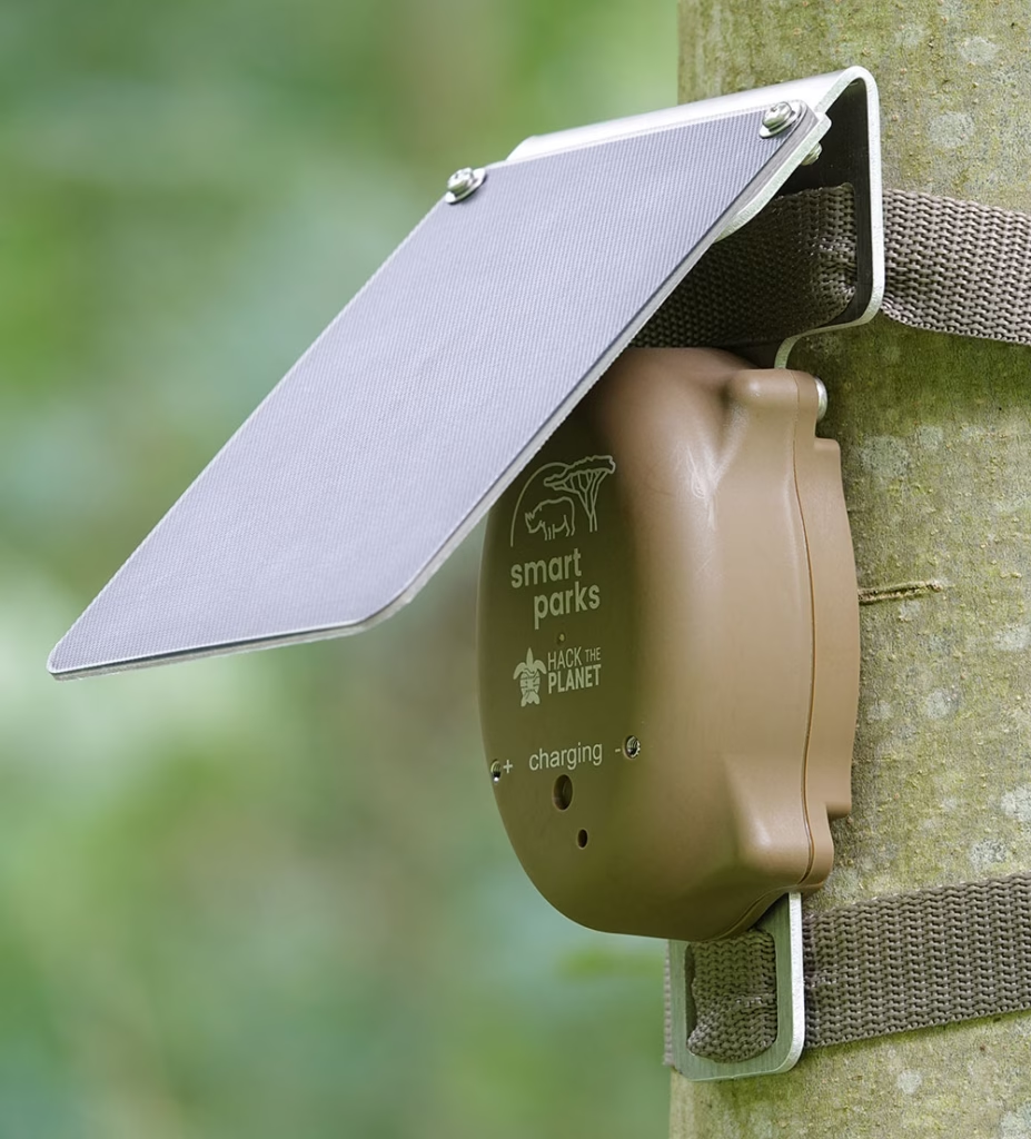
Track rangers, researchers, wildlife and vehicles operating beyond cellular coverage. RockSTAR supports handheld tracking, messaging and SOS communications, GSatSolar provides lightweight solar-powered asset tracking, and RockDASH combines satellite and cellular connectivity for vehicles.
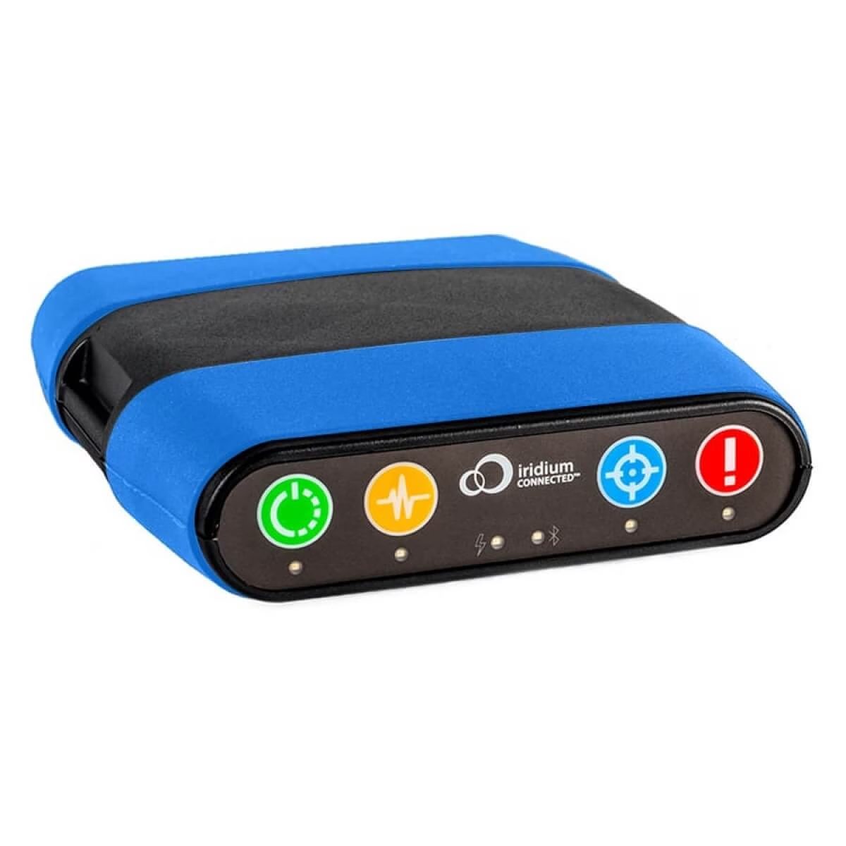
Two way communication and SOS
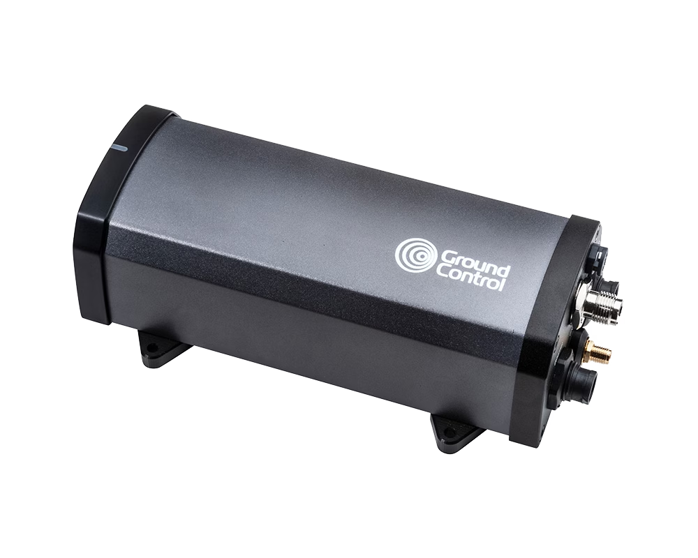
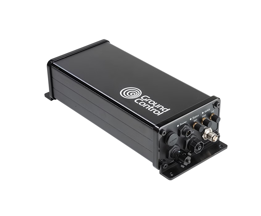
Send images, compressed video and other higher volume data from remote cameras and monitoring systems. RockREMOTE Mini provides compact satellite IP connectivity, while RockREMOTE Rugged offers a more robust gateway for fixed or mobile installations requiring satellite and cellular communications.
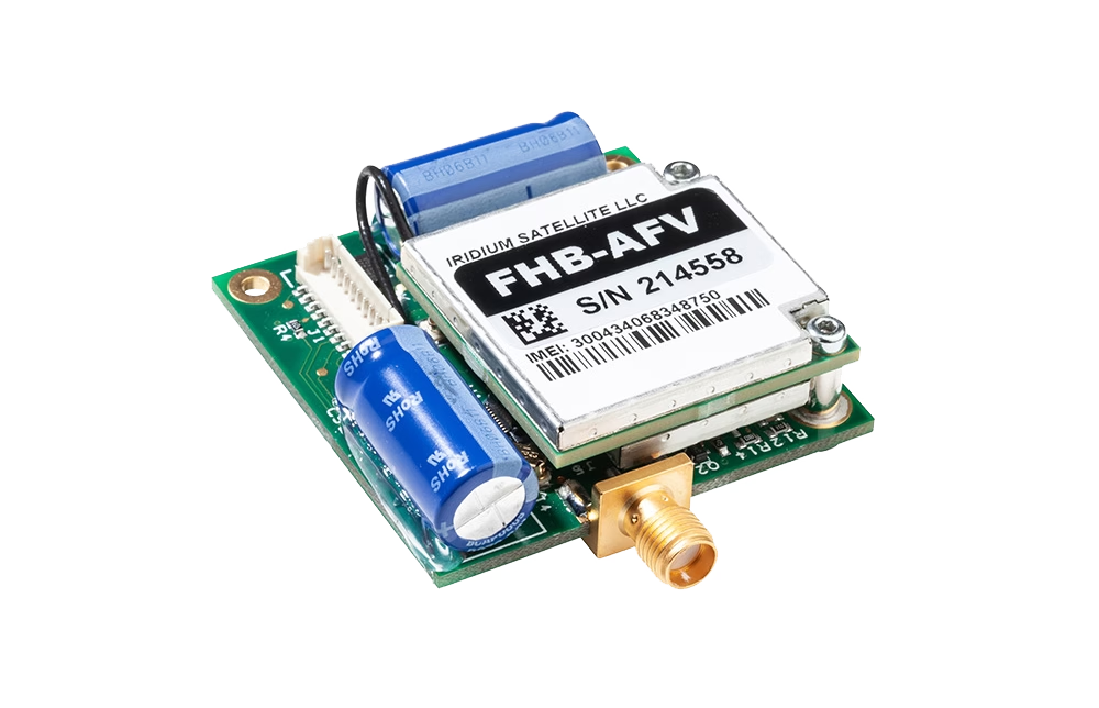
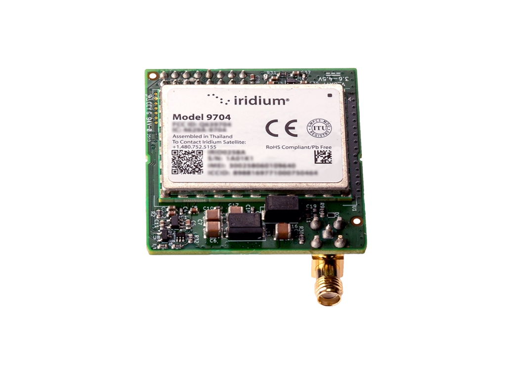
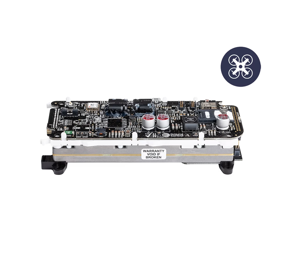
Extend tracking, telemetry and command links beyond terrestrial networks. RockBLOCK 9603 supports compact, low data messaging, RockBLOCK 9704 enables larger payloads, and RockREMOTE Mini OEM provides embedded IP connectivity for more data-intensive UAV and autonomous-system applications.
Smart Sensors and Detection Systems
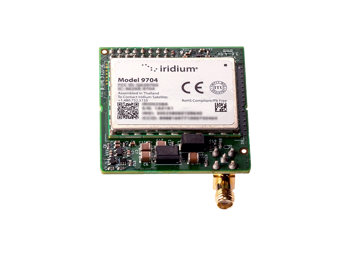
Add satellite connectivity to purpose-built sensors, camera traps and remote monitoring equipment. RockBLOCK transceivers can be integrated directly into custom devices, while RockBLOCK RTU connects existing analog and digital sensors and can trigger alerts or automated responses based on conditions in the field.
Who Uses Ground Control’s Satellite Solutions for Conservation?
Aerial Surveyors
Collecting geographic and environmental data from the air over vast, often remote areas. Uploading and sharing high-resolution imagery and data in real time, to improve decision-making and project accuracy.

Aerial Firefighters
Aerial firefighters respond to wildfires in remote areas, where communication is critical. Providing real time updates on fire locations, weather conditions, and resources, improving coordination and response.

Park Rangers
For patrol and protection of conservation areas, often in isolated regions. Maintaining communication with headquarters, receiving alerts, and coordinating responses in real time, ensures wildlife and personnel safety and effective response.

Border Patrol
Park and Reserve border patrols monitor and secure protected areas from illegal activities. Quickly responding to and reporting suspicious activities, receiving real time surveillance data, and coordinating enforcement actions.

Operations Managers
Overseeing the logistics of conservation projects in remote areas. Requires asset tracking, managing teams, monitoring wildlife and ensuring project efficiency.

Wildlife
Monitoring endangered species in remote areas relies on continuous data to track movements and health. Utilizing camera traps, GPS/GNSS collars tracking software and communications for real-time insight and protection of endangered species.
Scientists / Researchers
Gathering critical environmental data and monitoring ecosystems in remote locations provides habitat and wildlife protection.

Conservation Communities
Working to protect natural resources and biodiversity. Community collaboration, sharing best practices among geographically dispersed groups builds global conservation efforts.
Can we Support Your Conservation Efforts with Satellite Connectivity?
For a solution that supports your conservation efforts and provides efficient and effective remote tracking and connectivity…
Simply complete the form and one of our team will respond within one working day with objective, expert advice.
If you prefer to speak to someone directly, call us on +44 (0) 1452 751940 (Europe, Asia, Africa) or +1.805.783.4600 (North and South America).