Forestry
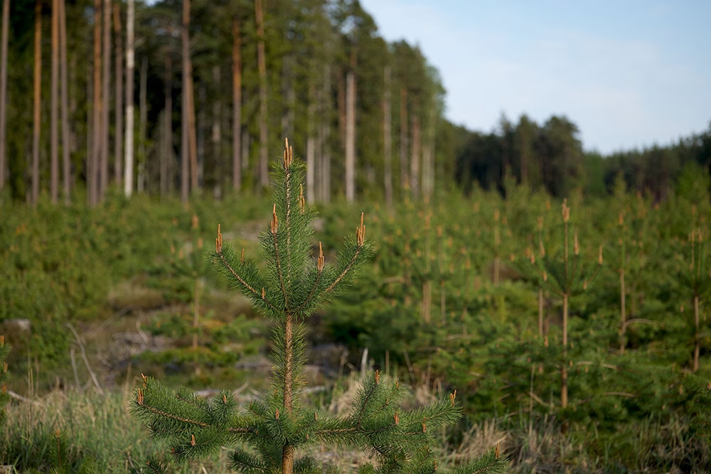
Satellite connectivity is essential for forestry teams operating in areas with limited or no mobile coverage. Monitoring heavy, precision forestry machinery helps prevent costly downtime, while workers in remote locations need reliable communication channels, particularly in emergencies.
For over 20 years, Ground Control has been providing satellite IoT and asset tracking solutions to support forestry management, whether for commercial operations or conservation efforts, ensuring the protection of environments, equipment, and teams in remote locations.
Enabling Remote Operations with Satellite Connectivity

Global Coverage
Stay connected to your remote teams and equipment, and monitor sensors in real-time with affordable, reliable satellite connectivity. We develop our own satellite tracking hardware and collaborate with trusted partners to provide the ideal combination of devices and airtime.
Real Time Tracking
Increase the efficiency of your forestry operations with real time people and asset tracking, allowing forest harvesters and logging trucks to work in sync and boost productivity. Remotely monitor equipment gauges and sensors to proactively schedule maintenance and avoid costly breakdowns.

Instant Alerts
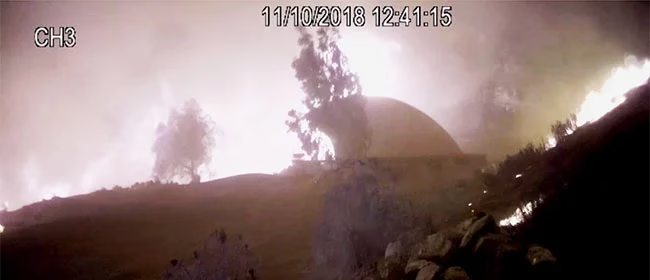
Geofences can detect when forest machinery strays from the designated felling area, helping prevent delays to clearing projects. Alerts from forest sensors can identify early signs of wildfires or illegal logging operations, while video surveillance can help reduce theft from compounds and monitor wildlife near work sites.
Rugged Tough Devices
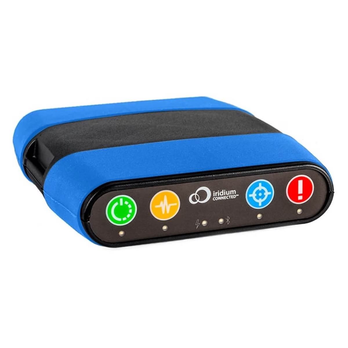
When operating large forestry machinery and using chainsaws in off-the-grid locations, ensuring your team’s safety is paramount. Our ruggedized RockSTAR devices enable two-way text communication, scheduled check-in requests, and one-touch SOS alerts in case of an emergency.
Recommended Devices
Asset Management
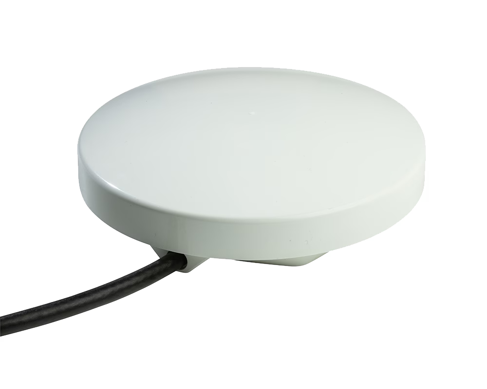
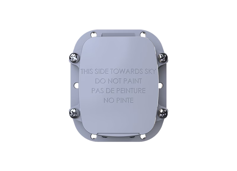
We offer a wide range of asset trackers designed to meet the needs of off-grid machinery and vehicles. The RockDASH can be a carry-on carry-off or fixed device, and the RockFLEET is a rugged exterior mounted tracker. Both can switch seamlessly between cellular and the Iridium satellite constellation, giving them global coverage and very low latency.
The Globalstar SmartOneC is less feature-rich, but rugged tough, discreet and very affordable – ideal for mass deployments.
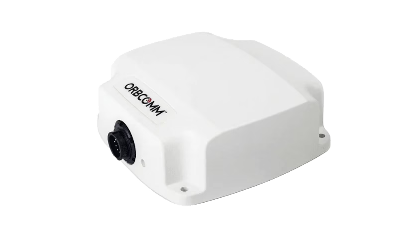
The Orbcomm ST 6100 tracker uses the Viasat satellite network, is built for harsh conditions and is easy to integrate with vehicle telemetry sensors.
Remote Surveillance
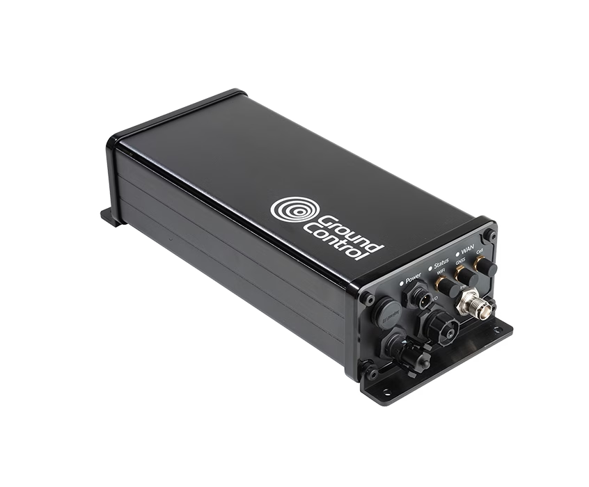
RockREMOTE Rugged with Videosoft offers cost-effective video transfer over satellite. For remote 24-7 security, protection or enhanced video recording, simply connect your smart camera via USB or IP.
The compact RockREMOTE Mini can transmit compressed images. The RockREMOTE series utilizes the Iridium Certus 100 service.
Monitoring Sensors
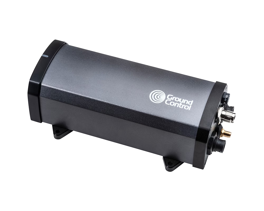
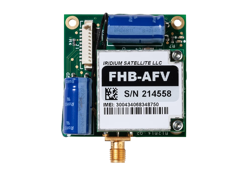
RockBLOCK devices can transmit your important data over the global Iridium satellite network, making them ideal for monitoring sensors in hard to reach places where cellular is unreliable or unavailable.
RockBLOCK 9603 can be incorporated into existing equipment to provide satellite connectivity, or choose the RockBLOCK Plus or RockBLOCK RTU which are designed for harsh conditions with dust and water ingression to IP68.
Worker Safety
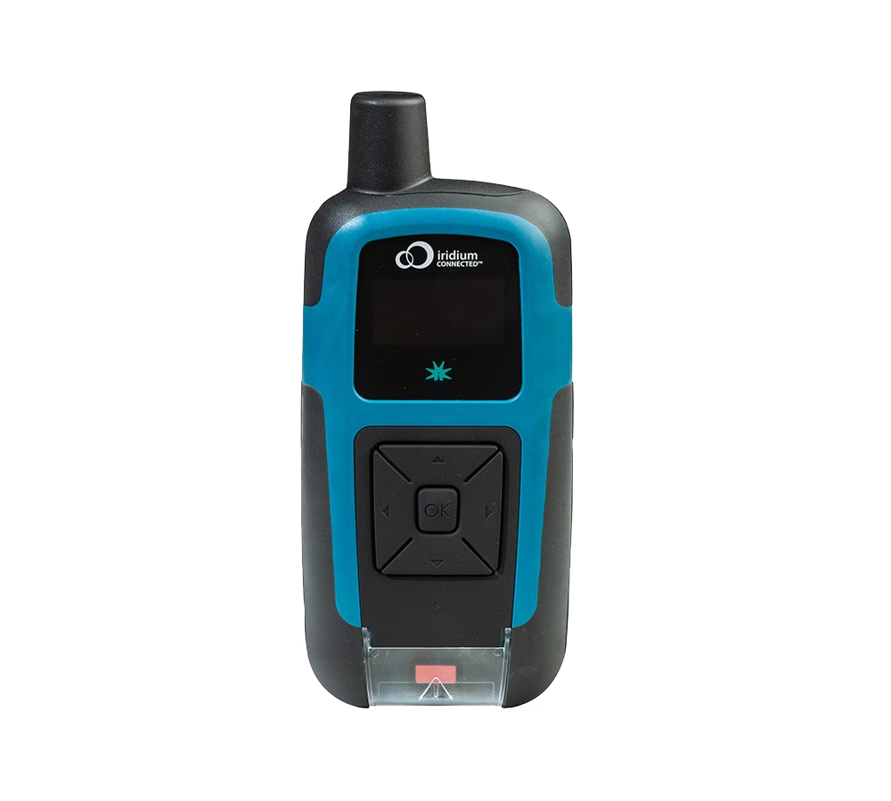
The RockSTAR tracking and monitoring device is designed for individuals and teams working in remote locations. It enables two-way text communication, features a dedicated SOS button, and includes a customizable ‘check-in’ countdown timer. Utilizing the Iridium satellite network, the RockSTAR can access low latency, global coverage anywhere on Earth.
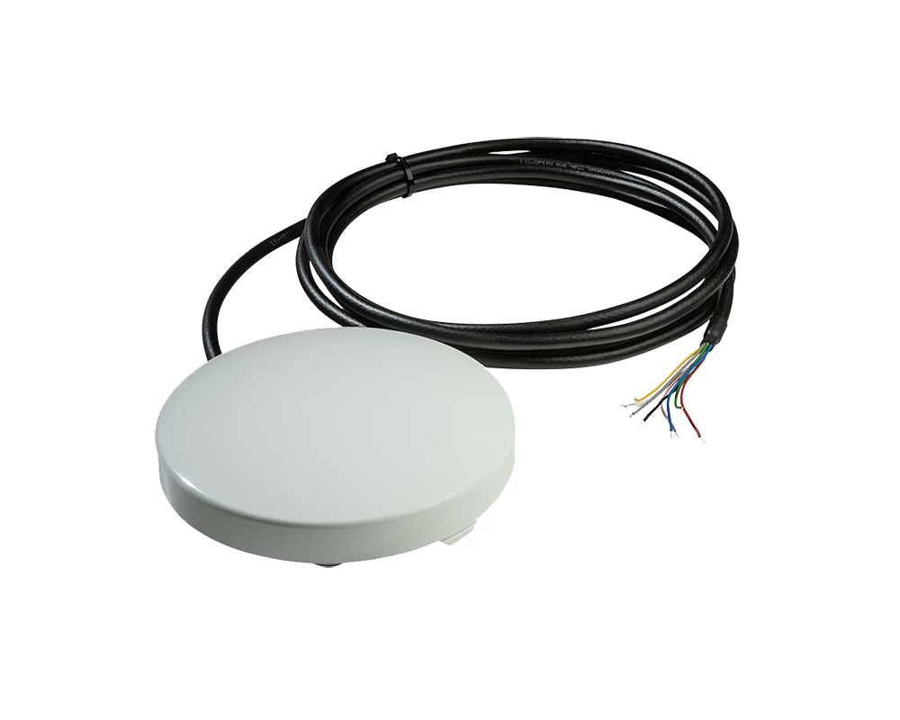
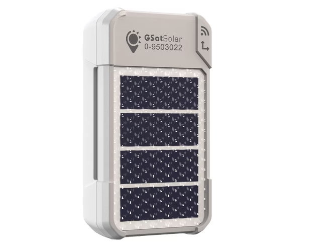
The GSatSolar is the most compact and lightweight tracker we offer and can be easily attached to clothing or kit bags. Solar-powered and built to withstand tough conditions, it can transmit location data continuously for months, even years. Operating on the Globalstar satellite network, it provides reliable coverage across 80% of the planet.
Who Uses Ground Control’s Satellite Solutions for Forestry?

Forest Rangers
By utilizing a network of sensors with satellite data backhaul, forest rangers can actively monitor essential factors that maintain forest health, such as temperature and moisture levels. Sensors can also enable detection of illegal logging operations and mitigate potential landslips resulting from forest clearance activities.
Operations Manager
Whether it’s people or equipment, operations managers can ensure teams remain connected and have the resources they require for an efficient logging operation and to ensure site safety while in remote locations. Geofencing ensures teams and equipment do not deviate from specified locations.

Aerial Surveyors
Using UAVs, surveyors can gather valuable insights into individual tree health, canopy conditions, and detect early signs of wildfires when forest tracks are inaccessible. For large forested areas, UAVs equipped with satellite-enabled BVLOS technology can automatically survey vast areas and transmit sensor and video data via satellite backhaul.
Asset Managers
Using satellite asset tracking devices, asset managers can keep track of the location of valuable equipment and monitor their fuel levels, tire wear and vibration levels to prevent unexpected breakdowns. Video surveillance over satellite can ensure compounds remain secure and any theft attempts are quickly detected.
Aerial Firefighters
During wildfire response in remote forested areas, effective communication and accurate information are crucial for aerial firefighters. Forest managers can provide real-time updates on fire locations, potential spread, and available resources, enhancing coordination and response efforts.

Wildlife Conservation
Forests are home to diverse wildlife, including apex predators like bears, wolves, and jaguars. Monitoring their movements with satellite-enabled collars is vital for understanding their behavior and planning forest management strategies to safeguard them from habitat loss caused by logging or wildfires.
Satellite Connectivity for Forestry Industries
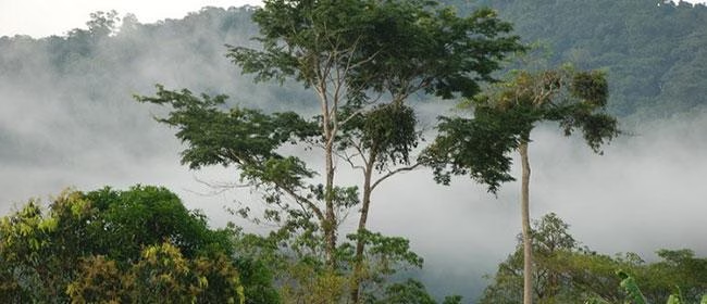
Ground Control provides satellite connectivity solutions to support forestry operations in remote locations. Our technology ensures reliable data retrieval and monitoring, even in the most isolated areas, enabling forestry teams to stay informed about timber operations, forest conditions, and environmental factors, allowing for timely decision-making.
Contact our team today to discuss how our connectivity solutions can meet your forestry management needs.