Lone Worker Tracking
If you're travelling outside cellular coverage frequently, or for an extended period of time, our satellite-enabled tracking and monitoring solution provides a safety lifeline.

Maximizing Your Team's Safety

Global Coverage,
Always On
Our satellite-enabled tracking solutions work anywhere on Earth, even in the most remote locations. Keep lone workers connected and secure with real-time updates.

Built for Extreme Environments
Our ruggedized hardware is designed to withstand extreme temperatures, rough handling, and dust or water exposure. You can trust our devices to perform when it matters most.
Two-Way Communication Anywhere
Stay in touch with your lone workers via reliable, satellite-powered messaging. Deliver instructions and receive updates, even in the toughest conditions.

Instant Alerts, Rapid Response
Geofencing, inactivity alerts, and emergency buttons ensure you’re informed the moment something goes wrong. Act quickly to provide assistance and minimize risks.
Cloudloop Tracking: Track and Monitor Lone Workers
![]()
Real-time Location Tracking
Cloudloop provides live updates on the exact location of your lone workers, ensuring they’re safe and on track. This feature is critical for timely intervention in emergencies and for maintaining operational efficiency.
- Monitor worker movements in real time, anywhere in the world
- Pinpoint exact locations for faster emergency response
- Verify worker adherence to assigned routes or operational areas.
Custom Alerts for Immediate Action
Be the first to know when something is wrong. Cloudloop allows you to set customized alerts based on location, activity, or manual triggers, ensuring quick responses to potential risks.
- Get notified instantly if a worker crosses geofences or goes off track
- Receive alerts for stationary workers when they should be moving, or vice versa
- Detect emergencies immediately with panic button activations.
Seamless, Two-Way Communication
Stay connected to your lone workers at all times, even in areas without cellular coverage. Cloudloop enables reliable two-way text communication via satellite, providing reassurance and operational clarity.
- Allow workers to send status updates or request assistance
- Deliver instructions or updates directly to workers in the field
- Reduce misunderstandings with clear, concise communication.
Historical Route and Activity Logging
Understand where your workers have been and what they’ve been doing. Cloudloop’s historical data helps you analyze operations, improve protocols, and reduce future risks.
- Access detailed logs of worker movements and activities
- Review data to identify trends or inefficiencies
- Use logs for compliance, reporting, and training purposes.
Scalable and Easy to Use
Cloudloop is designed to adapt to your organization’s size and complexity. Its intuitive interface ensures that anyone on your team can monitor lone workers effectively.
- Scale effortlessly from small teams to large, distributed workforces
- Navigate the platform easily with a user-friendly dashboard
- Reduce training time with straightforward, intuitive tools.
API Integration for Operational Efficiency
Integrate Cloudloop seamlessly into your existing systems to centralize data and improve decision-making. The platform’s API ensures compatibility with third-party tools and workflows.
- Sync tracking data with existing safety or operational platforms
- Automate reporting and data sharing for better efficiency
- Save time by reducing the need for manual data input.
Ruggedized Solutions for Tough Environments
Paired with Ground Control’s robust hardware, Cloudloop is built for the harshest conditions.
It ensures continuous connectivity and performance, even in extreme environments like mining sites, dense forests, and remote inspection locations.
Cloudloop Tracking is integrated with the following tracking devices:

Who Uses Ground Control's Lone Worker Tracking Solutions?
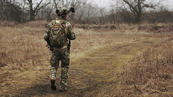
Military Personnel
Our RockSTAR tracker ensures global tracking and secure communication for military personnel in remote or hostile areas. With two way messaging, geofence alerts, and an SOS function, it enhances situational awareness and safety. Its rugged, long lasting design supports extended deployments.
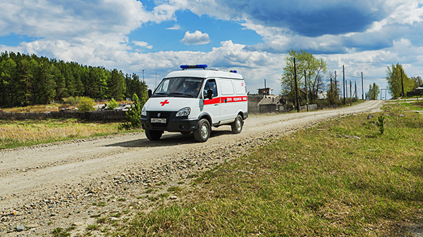
Remote Healthcare Providers
For healthcare workers in remote areas, our RockSTAR tracker provides real-time tracking, two-way messaging, and emergency alerts, ensuring safety and coordination. Its rugged design and 12 month battery life make it a reliable companion in the field.
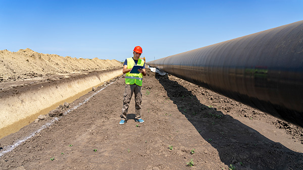
Site Inspectors
RockSTAR keeps Energy and Utility site inspectors connected with real time tracking, two way communication, geofence alerts, and an SOS function. Its rugged build and long battery life ensure reliability in remote, harsh environments.
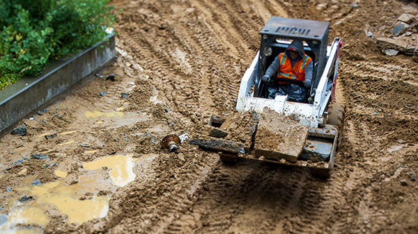
Heavy Machinery Operators
Our RockSTAR tracker enhances safety for remote machinery operators in Forestry, Mining and Construction with real time tracking, geofence and movement alerts, and emergency response. Its durable, long-lasting design withstands extreme conditions.
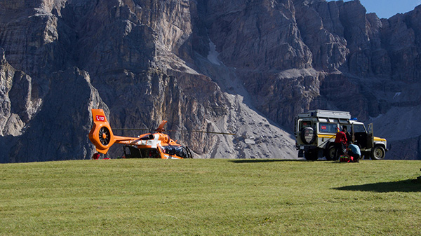
Search and Rescue
RockSTAR, paired with our Cloudloop Tracking platform, provides search and rescue teams with global tracking, real time coordination, and emergency alerts. Its rugged, long life design ensures reliability in critical situations.

Tour Guides & Conservationists
For those in remote wilderness areas, the RockSTAR offers real-time tracking, messaging, and emergency alerts. Its durable design and long battery life provide essential safety and connectivity for group leaders and people under their care.
Satellite Tracking Devices for Lone Workers
There are, of course, many more data points we could put into a comparison chart like this; we’ve tried to choose the ones that highlight the greatest differences between the devices. All are very effective, it just depends how you intend to use them!
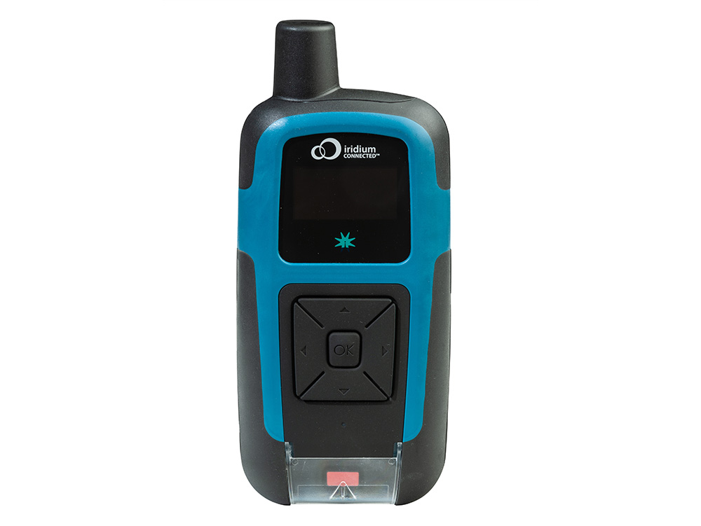
RockSTAR |
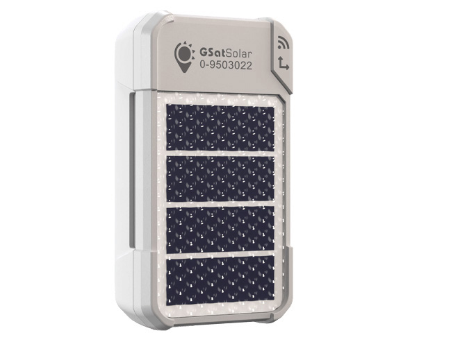
GSatSolar |
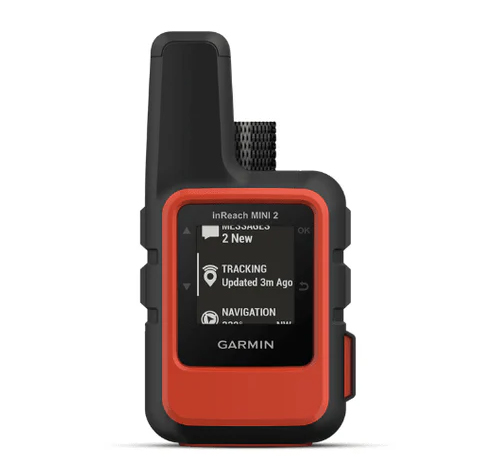
Garmin inReach Mini 2 |
|
|
Best For: |
Military / Security; Remote Healthcare Providers; Site Inspectors; Heavy Machinery Operators |
Adventure Racing Events; Expeditions / Group Travel; Tracking Equipment |
Hikers & Explorers; Journalists; Recreational Sailors; Individual Aviators |
|
Dimensions |
14.4 x 7.6 x 3.6 cm |
5.8 x 3.2 x 1.8 cm |
5.17 x 9.9 x 2.61 cm |
|
Weight |
303 g |
22.2 g |
100 g |
|
Ingress Protection |
IP67 |
IP67 |
IPX7 |
|
Battery Life |
45 days with 30 minute positions; up to 12 months transmitting once per day |
Solar powered, so will keep going if installed correctly, and there is adequate sunlight; end of service life is set to 5 years |
30 days with 30 minute positions |
|
Coverage |
Global (using Iridium) |
Covers 120 countries (using Globalstar) |
Global (using Iridium) |
|
Fastest Tracking Update |
15 seconds |
60 minutes |
10 minutes |
|
Messaging |
|||
|---|---|---|---|
|
Messaging via Connected App |
|
|
|
|
Messaging to Email / SMS from Device |
|
|
|
|
Max Message Length |
5000+ characters |
n/a - tracking only |
160 characters |
|
Alerts |
|||
|
SOS Button |
Notifies nominated contacts |
No alert function |
Notifies GEOS Search and Rescue |
|
Distress Context |
|
|
|
|
APIs / Platform |
|||
|
Open APIs |
|
|
With Limitations |
|
Open Bluetooth API |
|
|
|
|
Tracking Platform Included |
|
|
|
|
Geofencing Capabilities |
|
|
|
Packages Tailored to Suit Your Needs
Platform Only
If you have already purchased a tracking device, and would like to integrate it with Cloudloop Tracking, come and talk to us. We offer support for many Iridium and Globalstar-enabled trackers.
Our Data, Your Platform
Our well documented, robust APIs allow you to integrate the data transmitted via our devices to the platform of your choice. We have many existing integrations, and make it easy to feed your application.
Device, Data and Platform
Our integrated solution delivers everything you need to monitor your team. Our best-in-class hardware delivers your tracking and telemetry data in close to real-time to our intuitive and feature-rich platform.
Device Only
You are welcome to purchase just the lone worker tracking devices you need from us, organizing your own airtime contracts, and integrating the data with your preferred platform.

Book a Demo
Since 2002, we’ve supplied satellite-enabled tracking solutions to customers as diverse as around-the-world sailors to military personnel; healthcare workers to remote site inspectors. If your people travel outside of cellular coverage, we can help them stay connected and safe.
Please complete the form to learn more, or, if you prefer to speak to someone directly, call us on +44 (0) 1452 751940 (Europe, Asia, Africa) or +1.805.783.4600 (North and South America).