Vehicle Tracking via Satellite
Monitor your trucks, trains and heavy machinery anywhere on the planet with our satellite-enabled vehicle tracking systems.

Global Fleet Tracking and Telemetry
for Contractors and Rental Companies
Locate Your Fleet Anywhere
Our satellite-enabled devices will track your assets anywhere on Earth, as long as there is a clear view of the sky. Live and historical location data lets you know exactly where your machines and assets are, and where they’ve been.
Monitor Mixed Fleet Health
Whether you’re monitoring heavy machinery, trucks, trains, snowmobiles or mobile generators, our solutions can transmit detailed telemetry data, including fuel consumption, tire pressure, brake wear and other critical systems.
Prevent Theft With Instant Alerts
Get instant alerts if assets start moving outside of schedule. Set up unlimited geofences and control the behavior of your assets when they enter or exit each fence, e.g. speed up or slow down the tracking rate, or send you an alert.
Make Better Informed Decisions
Detailed historical reports allow you to analyze your fleet’s performance, and make changes to utilize your fleet more efficiently. Make sure every asset is where it needs to be, at the right time, saving money and reducing idle time.
Our Global Tracking Platform, Cloudloop
![]()
Real-Time Position Monitoring
Cloudloop Tracking provides companies with precise, real-time visibility of all fleet assets: trucks, trains, heavy machinery, and other vehicles. This enables managers to monitor live locations, speeds, and directions, offering complete oversight at any given moment. Historical tracking data is also available, allowing operators to review past movements for performance evaluations, route optimization, or investigating any irregularities.
Real-time tracking helps improve operational efficiency by ensuring that all assets are used effectively and are on schedule. Managers can quickly detect deviations from planned routes or unauthorized usage, which can help reduce fuel costs, prevent theft, and enhance accountability. Ultimately, having your entire fleet data centralized helps operations run smoothly even when unexpected issues arise.
Global Tracking and Monitoring
Cloudloop Tracking is integrated with satellite-enabled trackers such as the RockFLEET, ensuring that all assets are visible no matter where they are located. With satellite connectivity as a backbone, the platform maintains consistent coverage even in the most remote or unpopulated areas. Some devices also offer dual-mode satellite and cellular capabilities, allowing them to automatically switch to the most cost-effective network without compromising reliability.
This feature is a game-changer for industries like mining, forestry, and logistics, where operations frequently occur outside of traditional cellular coverage. You don’t need to worry about communication blackouts or losing sight of assets during long-haul transportation or remote deployments. Instead, you can focus on optimizing operations, confident that your fleet is always visible and connected.
Map-Based Interface
Cloudloop Tracking provides a versatile, map-based interface that displays assets on a range of mapping views, including satellite imagery, terrain maps, and street views. Users can zoom in to see specific details or zoom out to get a broader overview of their operations, making it easier to manage large, dispersed fleets. This feature ensures that operators have the context they need to make informed decisions about their assets.
The intuitive design of the map interface reduces the learning curve for new users, allowing them to quickly access critical information. Customizable map layers and views further enhance usability, enabling operators to focus on specific areas or assets. For instance, a fleet manager can view only construction sites for monitoring heavy machinery or filter for vehicles currently on the move. This flexibility allows teams to optimize their workflows and respond swiftly to emerging situations.
Unlimited Custom Geofences
Cloudloop Tracking supports the creation of unlimited geofences, enabling managers to define boundaries for each asset or group of assets. These geofences can trigger alerts or automate specific actions when an asset enters or exits a predefined area. This functionality is critical for maintaining control over mixed fleets, as it ensures assets are only operated within their designated areas.
Customizable profiles add another layer of utility to geofencing. For example, an operator can configure alerts to notify them if a truck leaves a route or if heavy machinery enters a restricted area. This level of automation reduces manual monitoring efforts and increases the security of high-value assets. With tailored profiles, companies can adapt the geofencing feature to match the unique needs of their operations, enhancing both safety and efficiency.
Event Tracking and Alerts
Cloudloop Tracking takes asset monitoring a step further by enabling event-based tracking and alerts. These features allow managers to monitor key asset activities, such as vehicle start/stop movements, heavy machinery activation, or other critical events like unauthorized use. Alerts can be fully customized to notify operators of specific situations, such as delayed arrivals, geofence breaches, or abnormal idling times.
In addition to reducing downtime, theft, and other costly disruptions, event-based alerts also enhance safety by enabling rapid responses to emergencies, such as accidents or mechanical failures. For example, if a vehicle leaves a route unexpectedly, the platform can notify managers immediately, helping them investigate and resolve the issue before it escalates.
Robust APIs
If you have your own tracking platform or system, you can utilize our robust and well-documented APIs to integrate the tracking and telemetry data being captured and transmitted by Ground Control trackers.
Cloudloop Data makes this particularly straightforward, with integrated destinations for our trackers’ data, including cloud providers like AWS and Azure, storage facilities like Google Cloud, delivery methods including HTTP Webhook, Email and MQTT, and IoT dashboards.
Who Uses Ground Control's Vehicle Tracking Solutions?
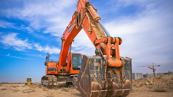
Heavy Machinery Operators
Whether you rent out or own excavators, loaders, cranes etc., these highly valuable assets are vulnerable to theft as well as requiring regular maintenance to prevent costly repairs. Both issues can be mitigated by fitting a tracking and monitoring device from Ground Control, which delivers global coverage.
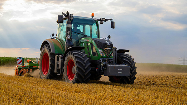
Farm Machinery Operators
In the USA alone, there are 1,000 reports of farm machinery theft per month, of which fewer than 20% are recovered. This risk can be mitigated by tracking and monitoring devices. With Ground Control’s satellite enabled devices, you’ll be able to track your machinery anywhere they go.
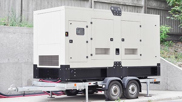
Mobile Generator Rental / Owners
Whether you rent out generators, or you own the assets, knowing where they are, and the condition they’re in, is essential for peak efficiency. A satellite tracking device from Ground Control ensures that you receive real-time and historical location data for your generators, wherever they go, plus telemetry data.
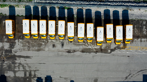
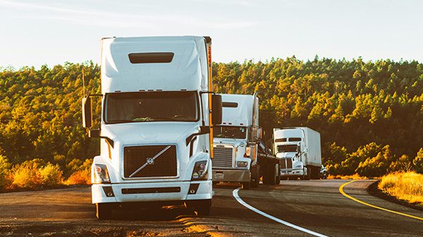
Fleet Managers
The benefits of GPS truck tracking for fleet managers are well documented: greater efficiency, improved customer communication, enhanced driver and goods safety. With Ground Control, you can extend those benefits to anywhere on Earth. Our trackers leverage satellite connectivity to provide you with real-time location data.
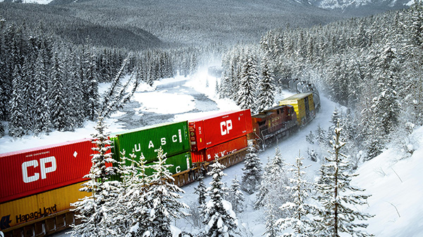
Rail Freight Operators
Using a satellite-enabled tracking and monitoring system on rail freight can help reduce theft and increase efficiencies, and ensure goods arrive in peak condition. Ground Control’s trackers are small, robust and offer truly global coverage. They provide location data plus inventory monitoring and telemetry data transmission.
Logistics Coordinators
Seamlessly tracking high value assets across oceans and borders requires satellite connectivity. The tracker needs to be discreet, robust, tamper-proof and reliable. Ground Control both builds tracking devices, and works with trusted third parties to ensure that you can track cargo in transit, anywhere on Earth with a clear view of the sky.
How Does Our Vehicle Tracking Work?
The tracker’s integrated sensors capture the location, speed, and temperature of your vehicle, plus power loss and impact
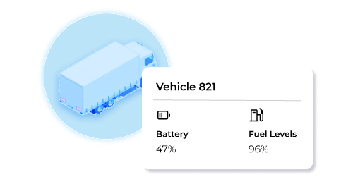
Embedded vehicle sensors record fuel levels, wear and tear, and other telemetry, which is passed via serial or digital input to the tracker
All data collected by the device is passed on, by satellite or cellular, to Cloudloop Tracking, or your preferred platform, for analysis
Recommended Devices
Trucks
RockFLEET has similar functionality but is designed for permanent installation.
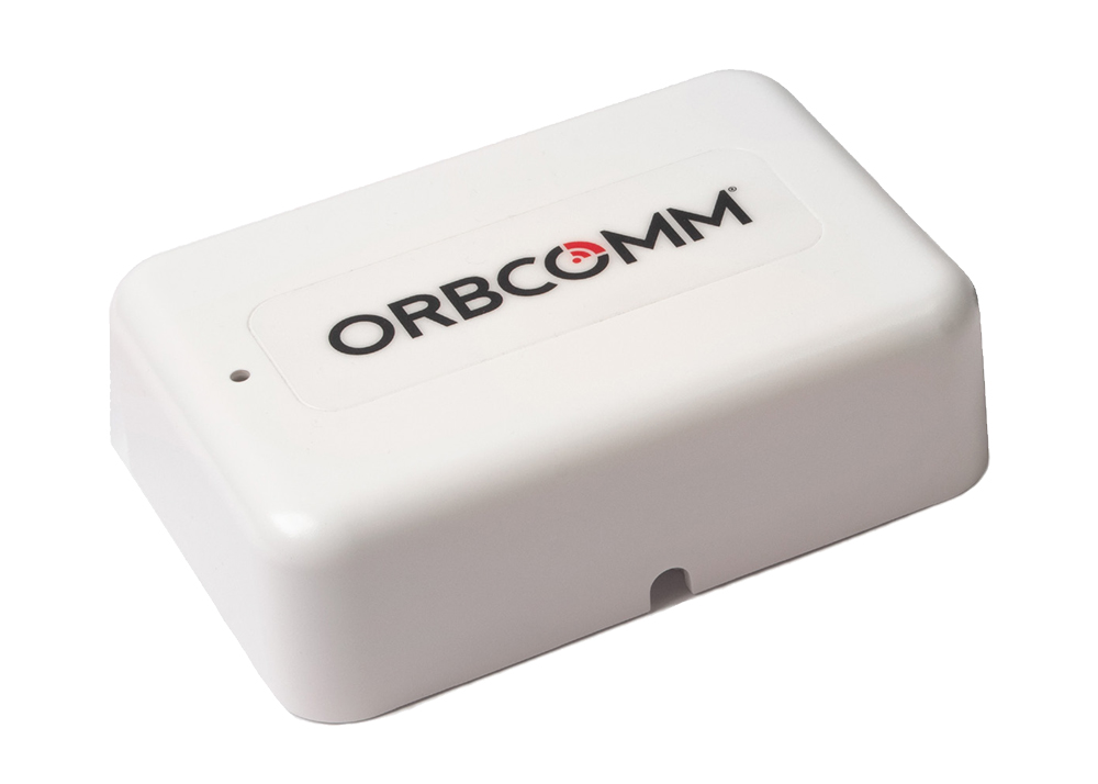
The Orbcomm ST-6100 is designed for permanent installation, and supports a variety of IO interfaces, allowing integration with a wide range of sensors and devices.
Heavy Machinery
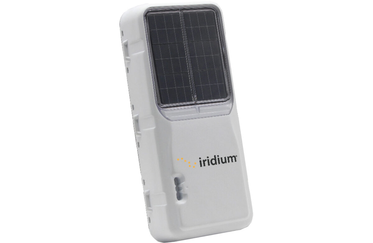
The Iridium Edge Solar will transmit data for up to 10 years using solar power to charge the battery!
Orbcomm ST2100 is very cost-effective and designed for low power consumption. It has flexible I/O interfaces including serial RS232.
SmartOne C utilizes the Globalstar constellation which has great coverage over Americas, Western Europe, Australasia and much of Africa.
Cargo
SmartOne C is, by design, hard to locate once installed. Battery powered and affordable, it utilizes the Globalstar constellation which isn't global, but has great coverage over Americas, Western Europe, Australasia and much of Africa.
Orbcomm ST2100 is very cost effective and designed for low power consumption. It has flexible I/O interfaces including serial RS232.
Driver Safety
It has an incredible battery life of 12 months, and is rugged tough, making it the ideal safety device to distribute to drivers.
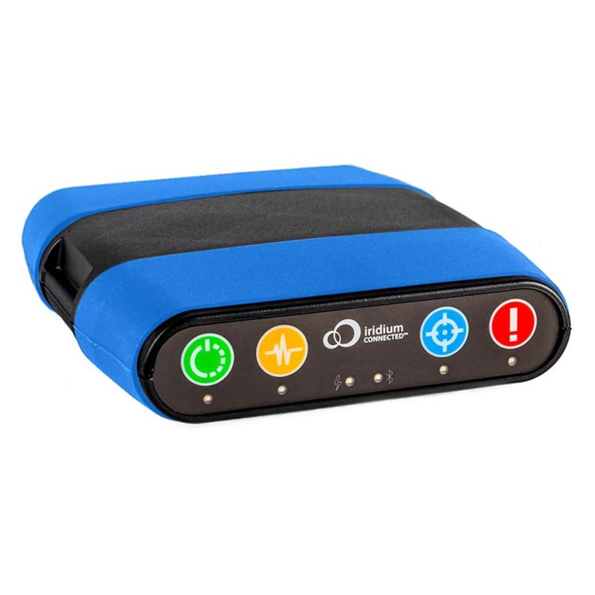
RockSTAR has an emergency alert feature, a countdown timer, dead man's switch, and temperature alerts. It can also transmit wearables data so you can monitor the wellbeing of your team if required.
Packages Tailored to Suit Your Needs
Our well documented, robust APIs allow you to integrate the data transmitted via our devices to the platform of your choice. We have many existing integrations, and make it easy to feed your application.
Our integrated solution delivers everything you need to monitor your fleet. Our best-in-class hardware delivers your tracking and telemetry data in close to real-time to our intuitive and feature-rich platform.
You are welcome to purchase just the tracking devices you need from us, organizing your own airtime contracts, and integrating the data with your preferred platform.

Ready to Get Started?
We’ve led the way in satellite tracking solutions since 2003, and design and build our hardware, firmware and software in-house. To organize a demo, or simply have your questions answered, please complete the form and we’ll respond with objective, expert advice within one working day.
If you prefer to speak to someone directly, call us on +44 (0) 1452 751940 (Europe, Asia, Africa) or +1.805.783.4600 (North and South America), or email hello@groundcontrol.com.