Satellite-Enabled Remote Sensing and Telemetry
Provides reliable primary or redundancy connectivity in a broad range of environmental monitoring use cases.

How we Support Environmental Sensing
Solving Sensor Network Communication Challenges
84% of IoT deployments are addressing or have the potential to address the UN’s sustainable development goals. Satellite IoT holds immense potential for reshaping global sustainability initiatives.
 Global Connectivity
 Keeping Power Usage to a Minimum
 Managing Your Data
 Reliable, Secure Network Visibility
 Remote Device Access
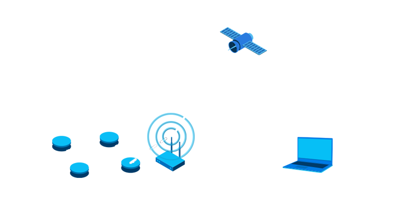
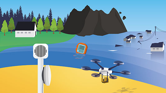
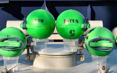
Remote off-grid sensor networks suffer from a lack of cellular connectivity, unreliable date and time stamps on messages, and the frequency of node failure during transmission.
Satellite connectivity provides secure, two-way, reliable connectivity for your sensor data, or redundancy, if the cellular or LPWAN network fails.
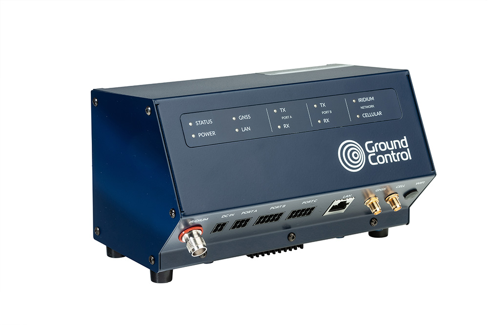
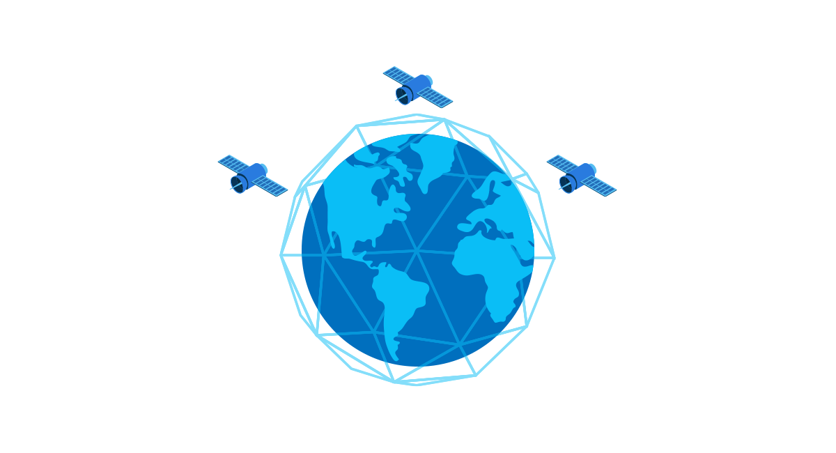
Iridium’s service is renowned for its 100% global connectivity and flexible data rates. Connecting you to your individual sensors, data loggers or gateways anywhere with a clear view of the sky.
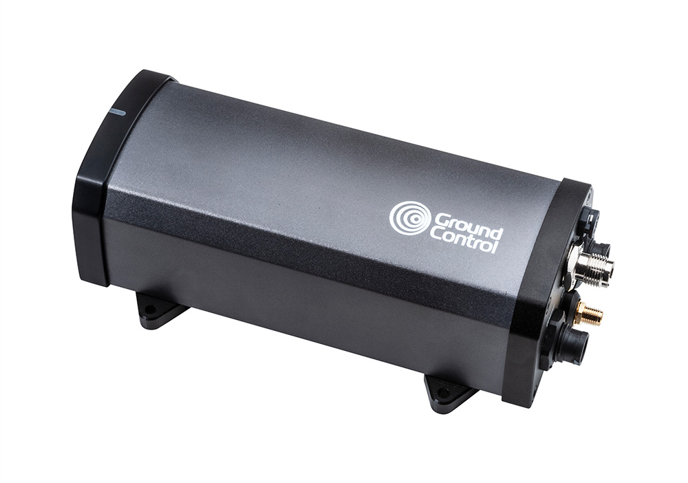
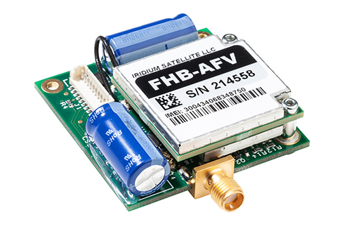
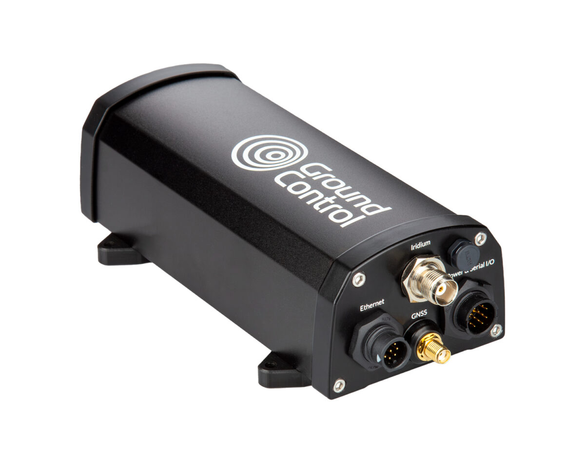
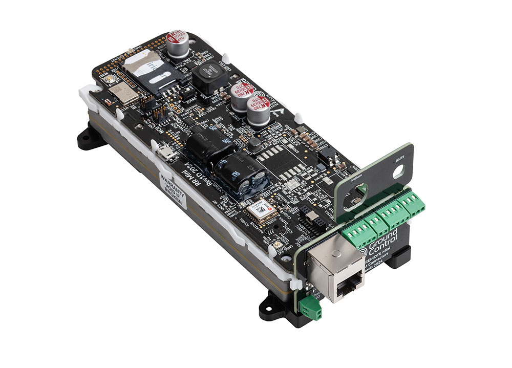
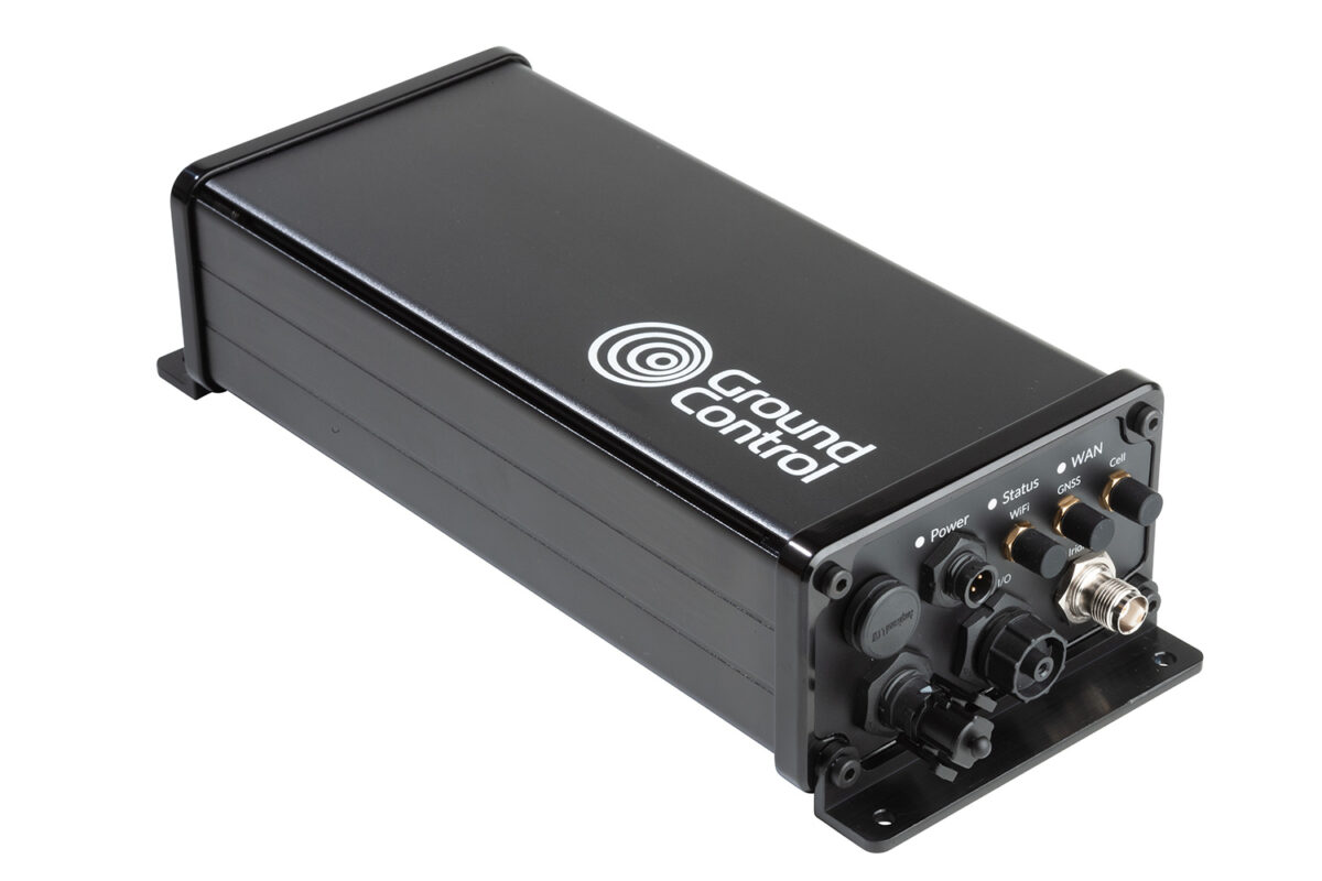
Our RockREMOTE Mini and Mini OEM devices testify to our commitment to support low power networking. When power supply is limited, we try to keep the energy demands of our satellite devices low.
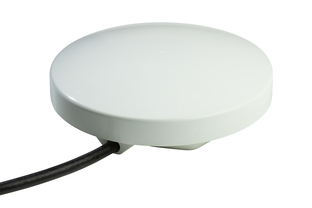
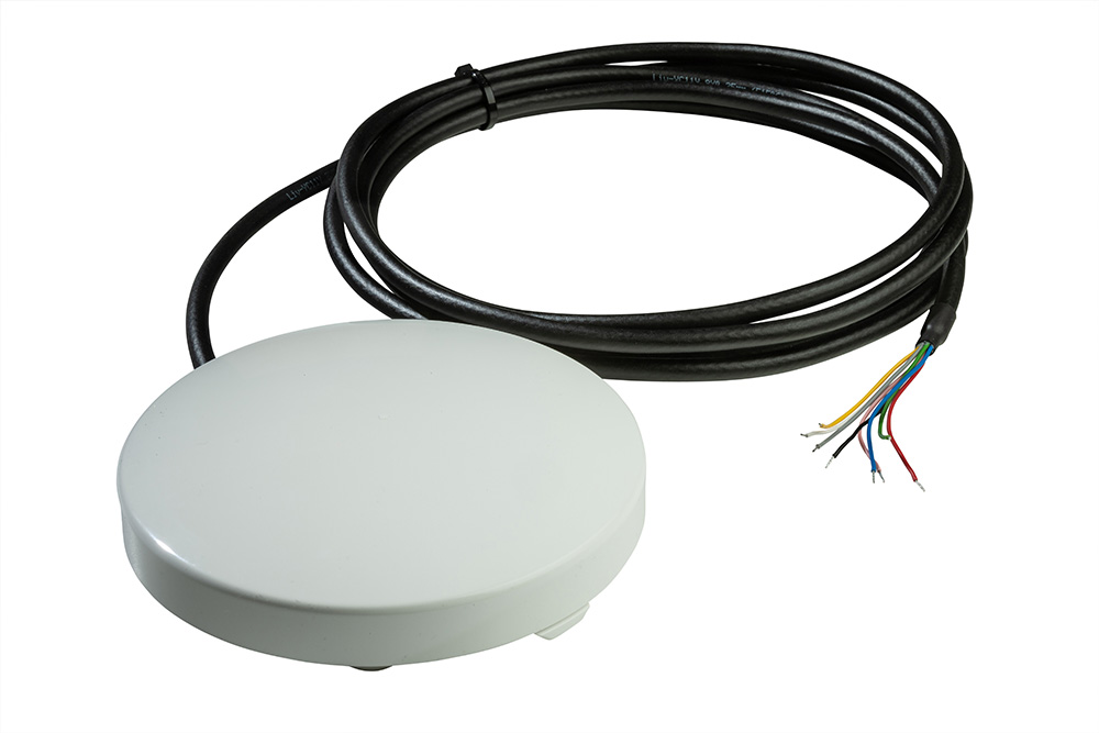
RockREMOTE Mini provides message-based and TCP/ IP connectivity. It uses less than 0.25 watts in receive mode and peak current draw is less than 1.66 amps at 12 volts. It also supports Power over Ethernet and is easily integrated into existing enclosures.
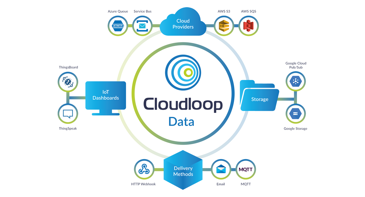
With versatile connectivity options, our devices connect sensors, or backhaul LPWAN gateway data to destinations of your choice. All data can be managed via our Cloudloop Data platform or via our developer-friendly APIs.
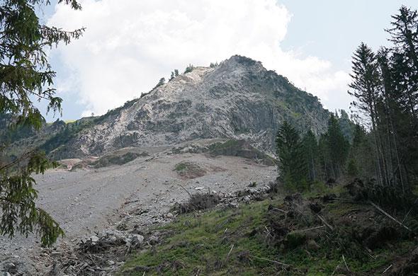
You can route it anywhere, including your inbox, so you can pick it up from your laptop, away from volcanic or landslide activity. With pre-coded end destinations built into the Cloudloop platform, we’ve done much of the development work, so you don’t have to.
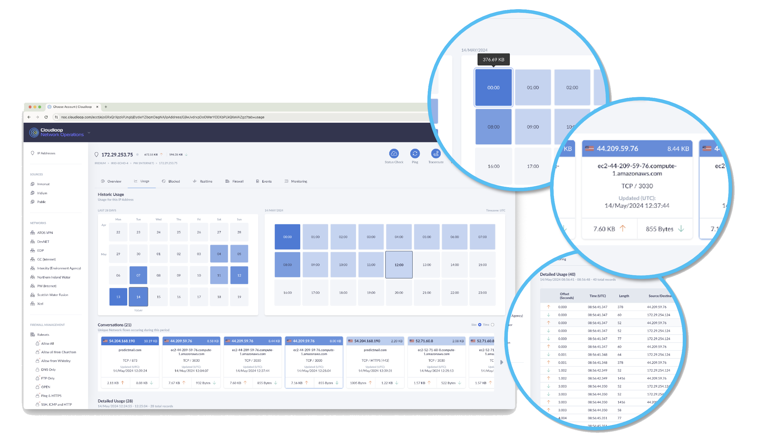
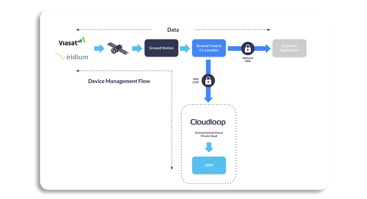
We understand the need for control and security for sensitive real-time data that informs critical decision-making, government and environmental policy, or emergency response.
Supported by Cloudloop Data and NOC (Network Operating Centre), take a real-time view of your data transmissions down to packet level, IP address, and geographical origin, and amend firewall rules to protect your transmissions.
So you always have a handle on your satellite connectivity and network performance, giving full peace of mind.
Cloudloop Device Manager enables you to connect to your device remotely. You can access service and system logs to enable remote troubleshooting and update the firmware of your satellite device, no matter where you are located.
This is ideal when your network is positioned in an unhospitable and/or hard to reach area, as it eliminates the cost and risk of sending someone into the field to resolve the issue.
“Ground Control improves the efficiency and quality of our environmental data gathering. By installing a RockBLOCK in our PTM we can guarantee a great investment and low running costs, reliability, resilience, operator ease of use installation and operation, data accuracy, quality assurance, quality control and data security.”
Obscape Environmental Monitoring
Would you like to Trial Our Satellite Device in Your Sensor Network?
Simply complete the form, and one of our technical team members will respond with objective, expert advice. Or if you prefer to speak to someone directly, call us on +44 (0) 1452 751940 (Europe, Asia, Africa) or +1.805.783.4600 (North and South America).
