
Iridium Satellite Network
Iridium’s unique crosslinked mesh architecture offers a comprehensive web of coverage across the globe, covering every inch of the planet from its Low Earth Orbit satellites.
We’ve been Gold-Tier Iridium partners since 2005, designing and building hardware that harnesses Iridium’s low latency, truly global satellite network. Our devices provide reliable connectivity anywhere on Earth, enabling critical communications for IoT, remote monitoring, and asset tracking – including in GNSS-denied environments.
Short Burst Data Devices
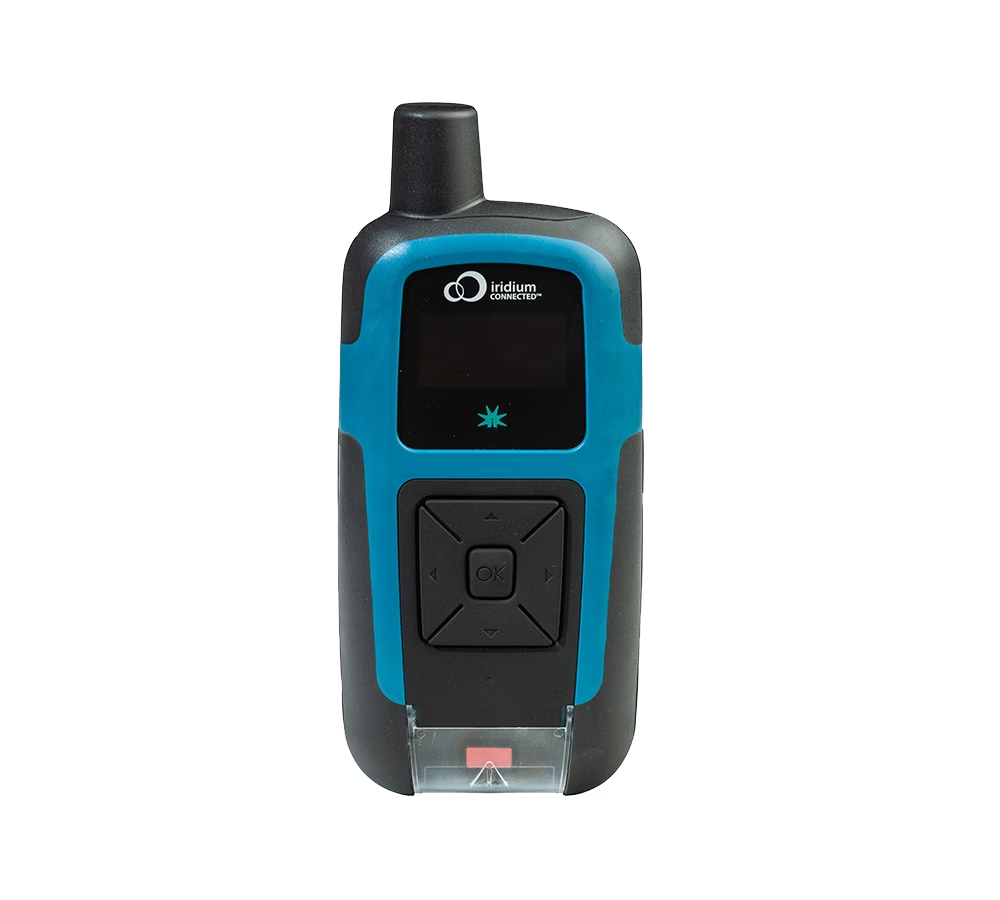
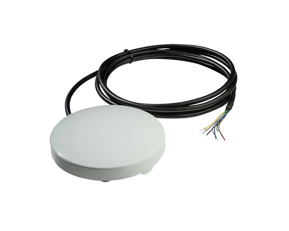
SBD-enabled products are ideal for remote weather stations, ocean drifters and buoys, monitoring of oil pipelines, controlling and reporting on equipment in the middle of nowhere. For basic telemetry and command/control applications where mobile signals don’t go, they’re ideal.
See All SBD Devices

Iridium Messaging Transport (IMT) Devices
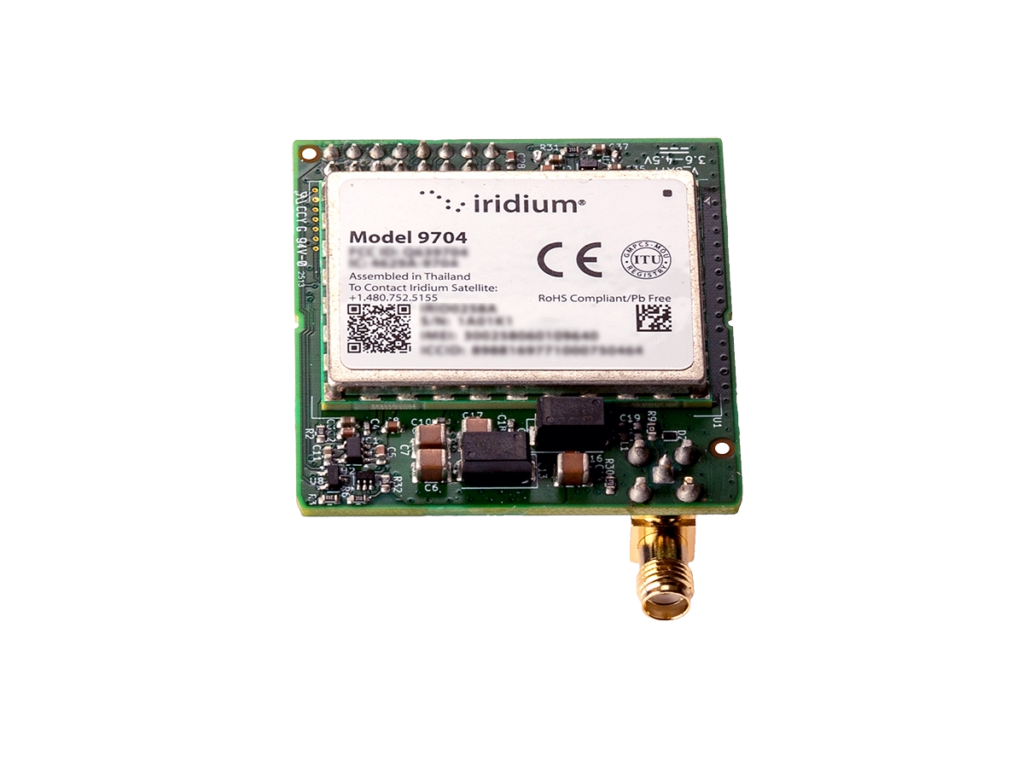
With IMT, you can send and receive messages of up to 100 KB. While the Iridium Certus 100 devices can access IMT as an option, the 9704 module *only* connects with this service, utilizing very little power, and leveraging a smaller form factor.
RockBLOCK Pro and Pro OEM have been designed to reduce development complexity. They have built-in GNSS and configurable I/O options, and support legacy 9603 AT commands. RockBLOCK 9704 is the natural successor to RockBLOCK 9603, simplifying implementation by adding an antenna, power supply and serial interface to the module.
See All IMT Devices
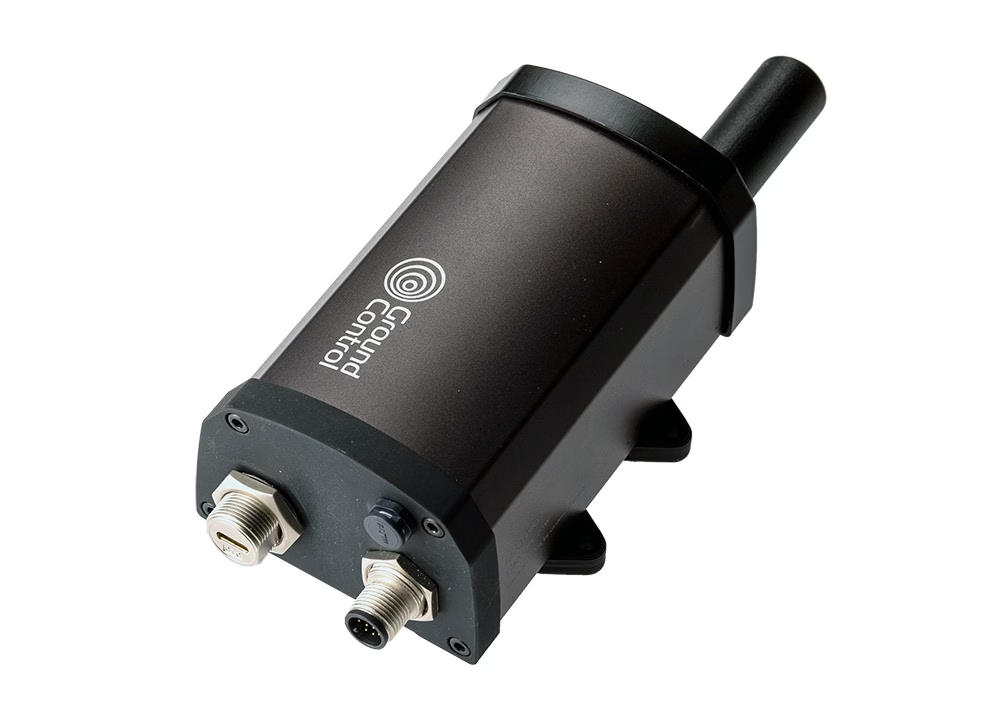
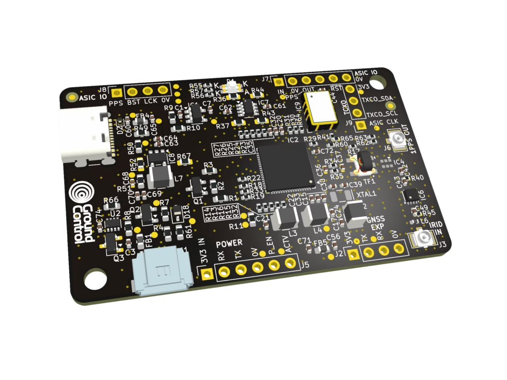
Iridium PNT Devices
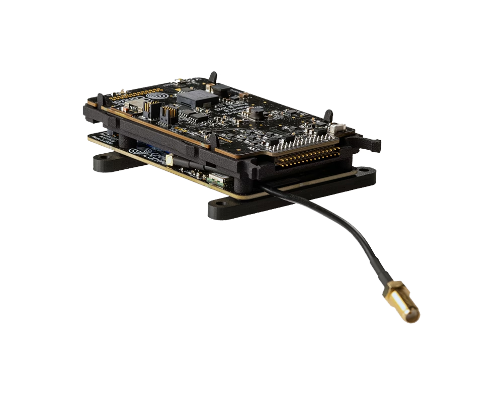
Designed for use in areas experiencing GNSS jamming and spoofing, these devices utilize the Iridium PNT ASIC module to deliver an independent source of positioning and timing.
Iridium PNT is up to 1000 x stronger than GPS and other GNSS services, making it far harder to overwhelm. And because it comes from an entirely separate source, it doesn’t share GNSS’ vulnerabilities, giving you a cross-check that you can trust.
Read more about Assured PNT
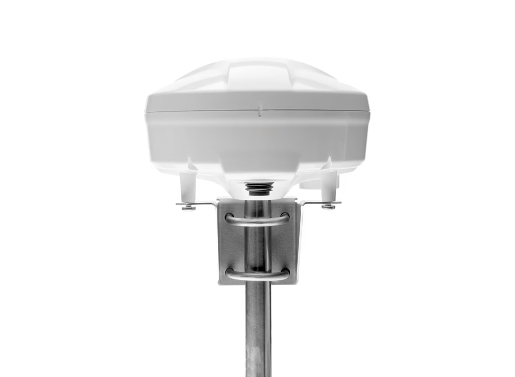
Iridium Certus 100 Devices
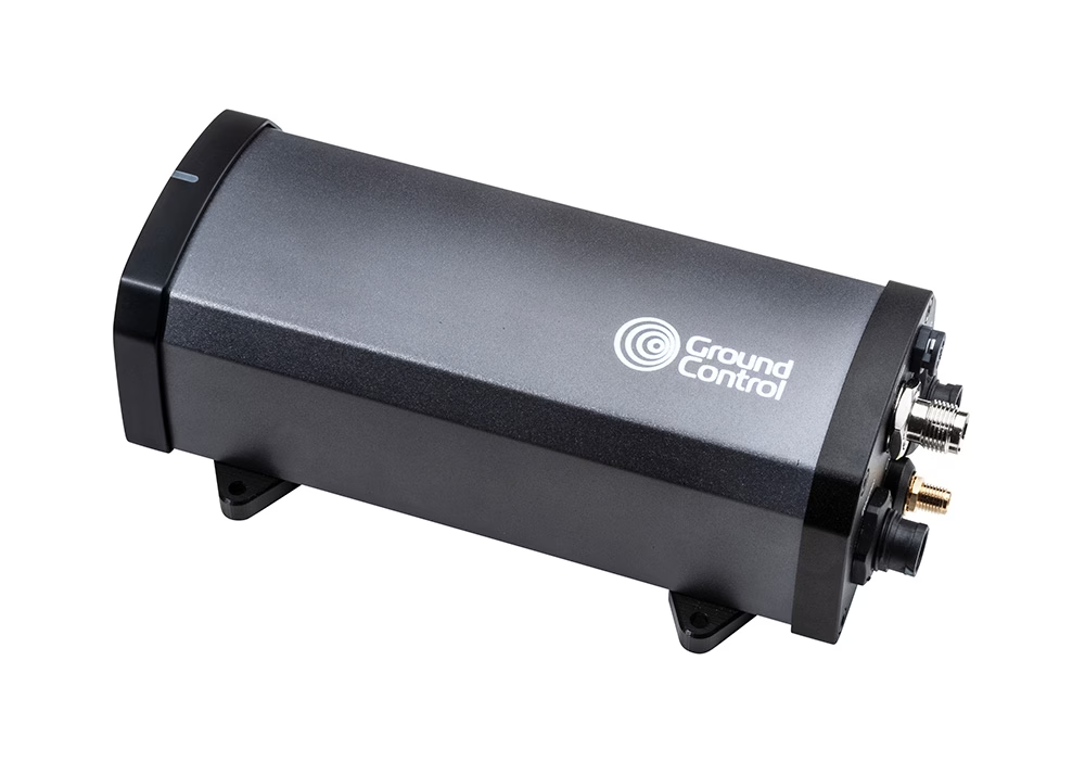
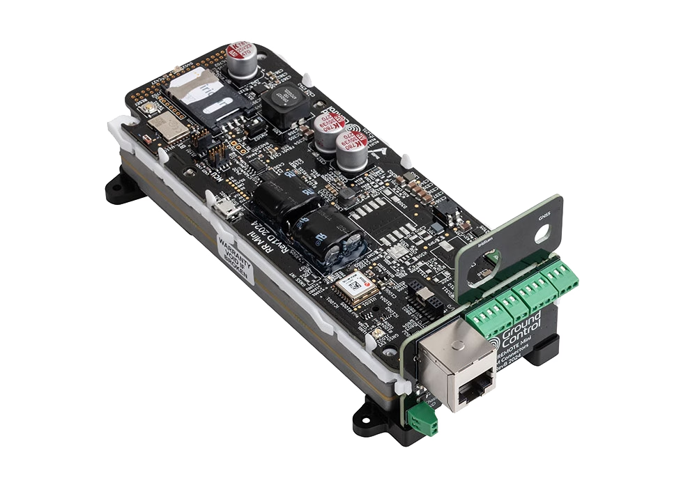
The Certus 100 service is positioned between Iridium’s Short Burst Data (SBD) service and the higher throughput of Certus 700. This service uses small and lightweight omni-directional antennas, which provide a robust and stable connection. With Certus 100, users can achieve IP data speeds of up to 88 Kbps, making it well suited for applications requiring Supervisory Control and Data Acquisition (SCADA).
See All Iridium Certus 100 Products
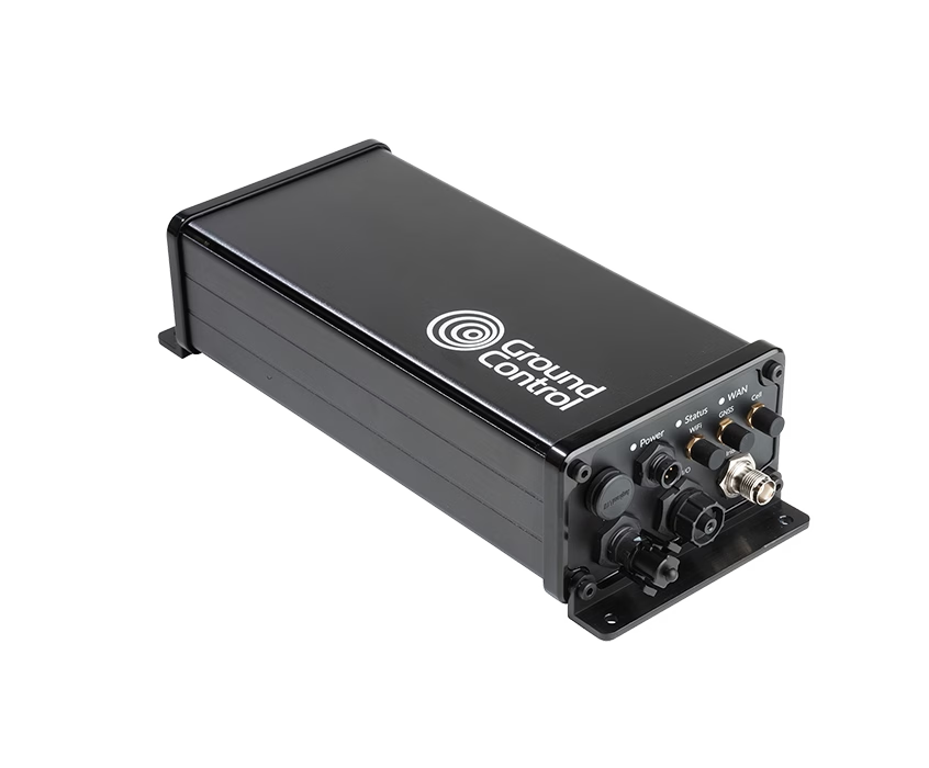
Iridium Certus 200 Devices
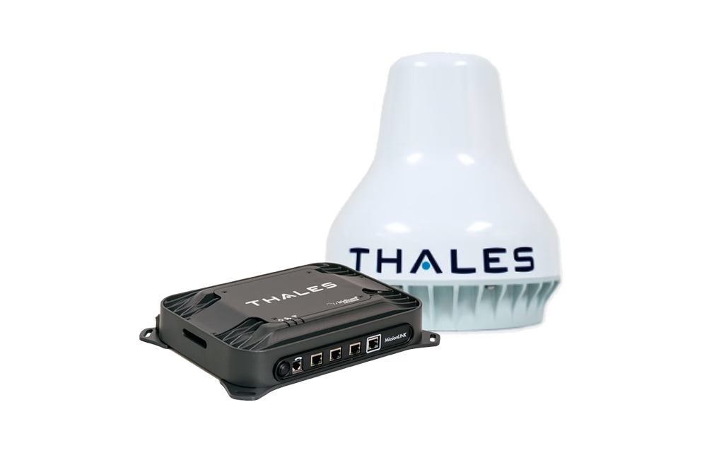
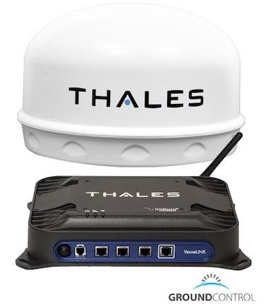
We’re big fans of the Certus 200 service as a great all-rounder. Supporting internet speeds of 176 Kbps up and down, which is enough for basic internet use, and they come with voice, text and tracking capabilities. The two devices are very similar; the MissionLINK is designed for land mobile applications, and the VesseLINK for maritime.
See All Iridium Certus 200 Products

Iridium Certus 700 Devices
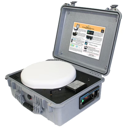
In early 2019 Iridium updated their entire constellation of 66 Low Earth Orbiting satellites that were placed in operational orbit in 1998. This technology upgrade enabled Iridium satellites to deliver high speed internet (up to 700 Kbps), push-to-talk, M2M, and aviation services.
View All Iridium Certus 700 Devices

More About Iridium
Iridium’s LEO (Low Earth Orbit) network operates at a distance of only 780 kilometers from the Earth, providing several advantages over traditional GEO (Geostationary Earth Orbit) satellites. The close proximity of Iridium’s network enables pole-to-pole coverage, shorter transmission paths, stronger signals, lower latency, and shorter registration times.
What’s more, each Iridium satellite is crosslinked with up to four others, forming a dynamic mesh network that routes traffic among satellites to ensure seamless global coverage even in areas where traditional networks are unavailable.
View Live Coverage Map
Iridium’s ground infrastructure is made up of the Satellite Network Operating Center (SNOC), Ground Stations, and Technical Support Center, all interconnected through advanced fiber-optic and broadband satellite links. Together, they provide terrestrial connections for mobile satellite voice and data, network command, control, and monitoring, and technical support.
In early 2019, Iridium completed a multi-year constellation upgrade, which involved replacing all of its first-generation satellites and upgrading the supporting ground infrastructure. This new network has resulted in faster, more reliable service across global markets for maritime, aviation, land, and government applications. The original Iridium constellation completed approximately 100,000 orbits of Earth before being sustainably de-orbited as part of the replacement program.












Need any help selecting the right hardware and airtime?
If you’re not sure which airtime service or device is best for your requirements, please email hello@groundcontrol.com, or complete the form.
We have been working with Iridium as gold-tier partners since 2005, and our customer use cases range from polar exploration to prescription-delivering drones, so we’re well placed to provide you with expert advice.