Case Studies
21 results
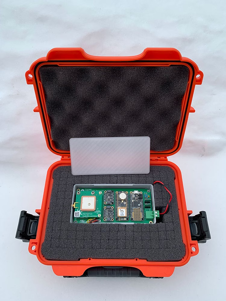
Transforming Arctic Iceberg Monitoring and Tracking
How innovative low cost, open-source technologies like the Cryologger Ice Tracking Beacon are transforming iceberg monitoring in the Arctic.
Read More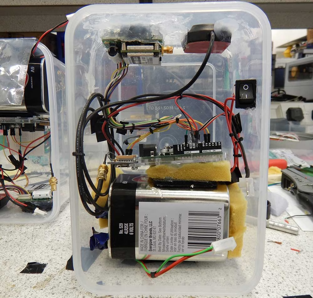
Mapping Monsoon Currents to Support Coastal Livelihoods
NOC integrates RockBLOCK 9603 on Iridium to map Pemba currents, generating evidence that strengthens sustainable fisheries.
Read More
How Satellite IoT Facilitates Remote Precision Farming in Kenya
Ground Control's RockBLOCK 9602 is helping agritech company Synnefa provide precision farming tools for Kenyan farms. Here's how it works.
Read More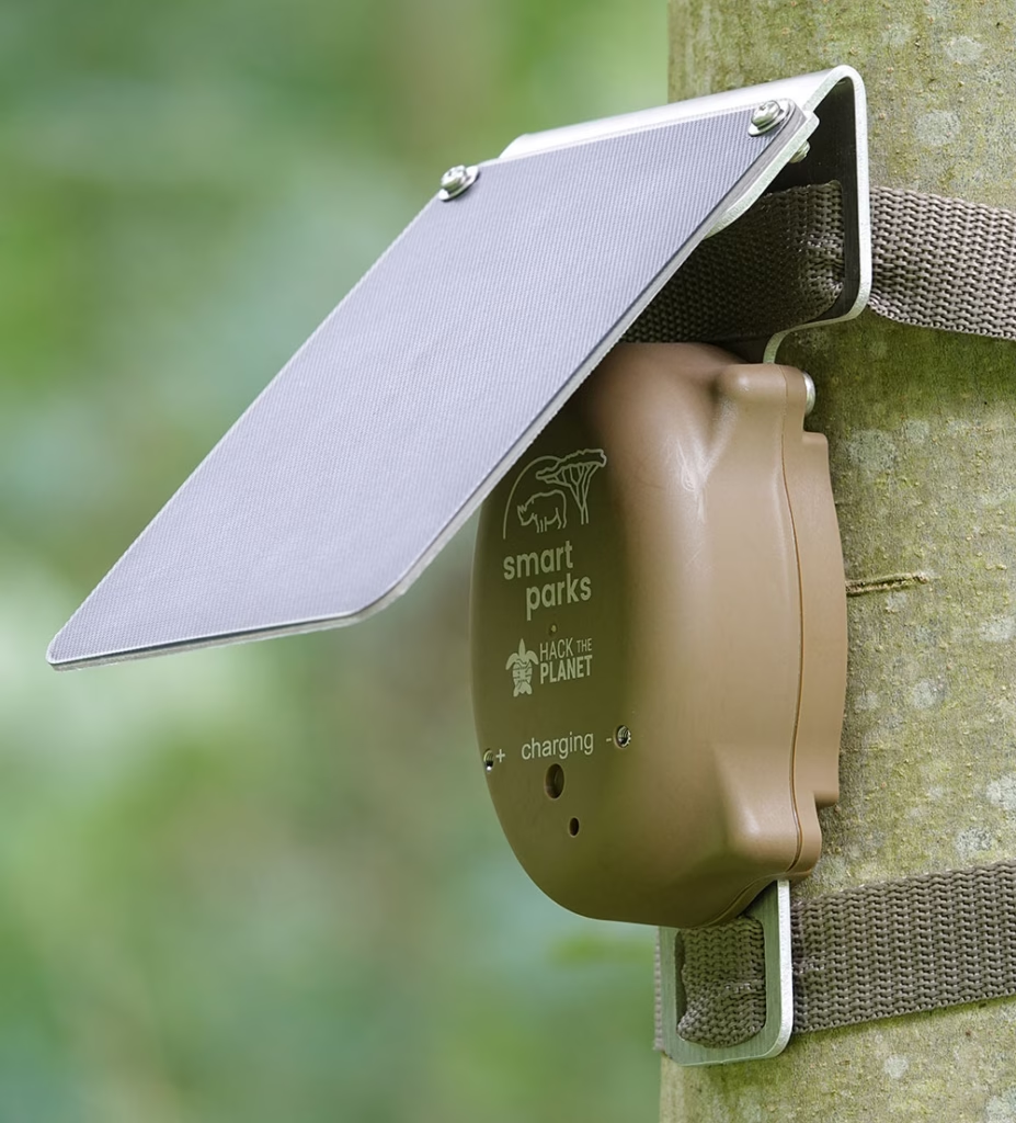
Hack the Planet’s Anti-Poaching Initiative
How cutting-edge sensor and satellite technology is combating illegal poaching, protecting endangered species and preserving biodiversity.
Read More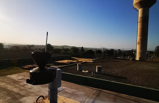
Environmental Monitoring and Reporting with Obscape
An agency responsible for coastal, stormwater & catchment management is working with Ground Control & Obscape for reporting & monitoring.
Read More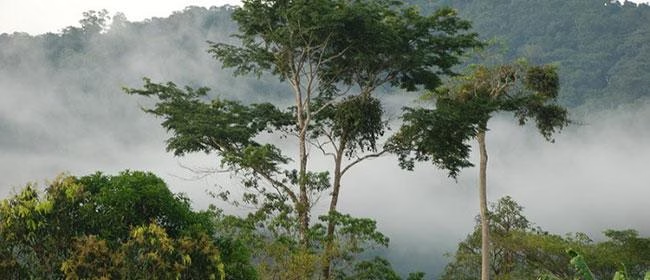
Preventing Illegal Deforestation
Discover how Rainforest Foundation UK uses RockBLOCK satellite IoT to send real-time alerts, helping communities detect and prevent illegal deforestation.
Read More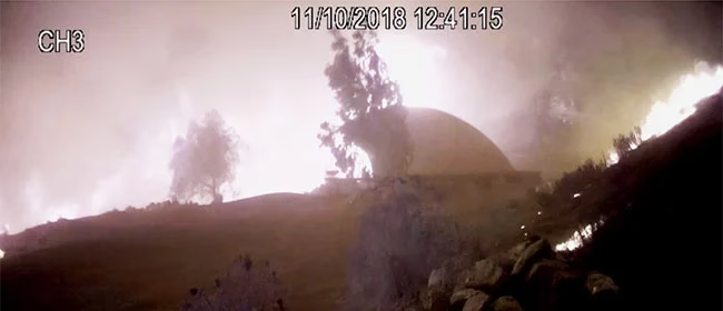
Off-Grid Fire Prevention Systems
RockBLOCK 9602 enables an off-grid wildfire prevention system to detect threats, send alerts and remotely activate high-pressure sprinklers via satellite.
Read More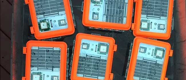
Drifting Buoys for Multi-Use Projects
Maker Buoy uses RockBLOCK 9603 to transmit ocean drift, sea temperature and position data from compact, solar-powered research buoys.
Read More
Data Buoys for Offshore Telemetry
OSIL uses RockBLOCK to transmit oceanographic, weather and water quality data from offshore buoys beyond cellular coverage.
Read More
Space-Bound Instrumentation Packages
RockBLOCK 9602 provides reliable GPS data from high altitude instrument packages, helping a school space program maintain its microwave communications link.
Read More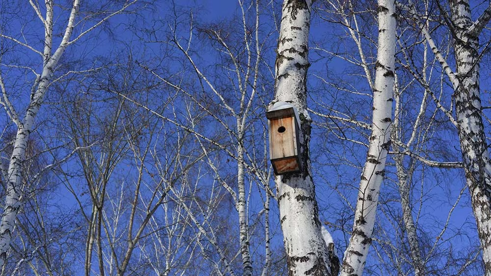
Smart Bird Boxes for Remote Wildlife Monitoring
Discover how Okala and Ground Control created smart bird boxes with cameras, sensors and satellite connectivity for remote wildlife monitoring.
Read More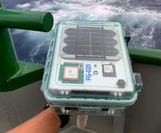
Finding Optimum Oil and Gas Sites with 40Geo Drifting Data Buoys
Satellite-connected drifting buoys help 40Geo collect offshore data that informs where and when oil and gas operators should develop new sites.
Read More