Case Studies
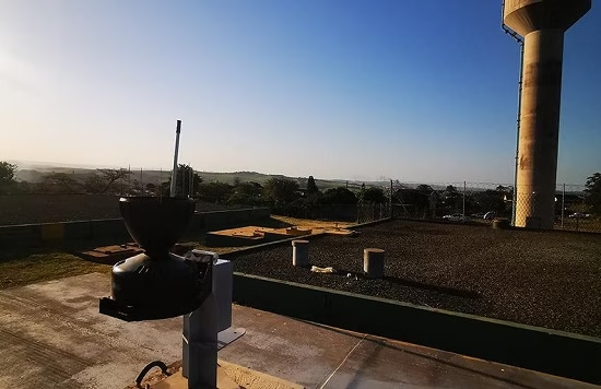
Environmental Monitoring and Reporting with Obscape
An agency responsible for coastal, stormwater & catchment management is working with Ground Control & Obscape for reporting & monitoring.
Read More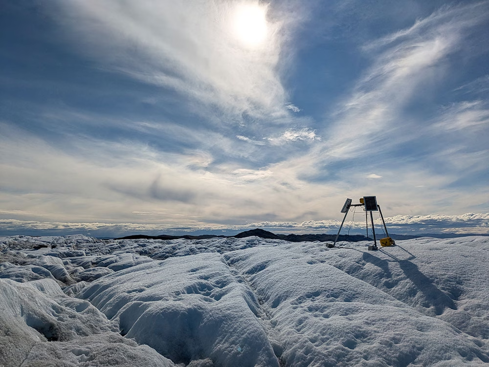
Going Wireless in Greenland: Downloading Data from Deep Beneath the Ice
How a team from Cardiff University used RockBLOCK Plus to transmit data from their wireless 'Cyroegg' buried under hundreds of meters of ice.
Read More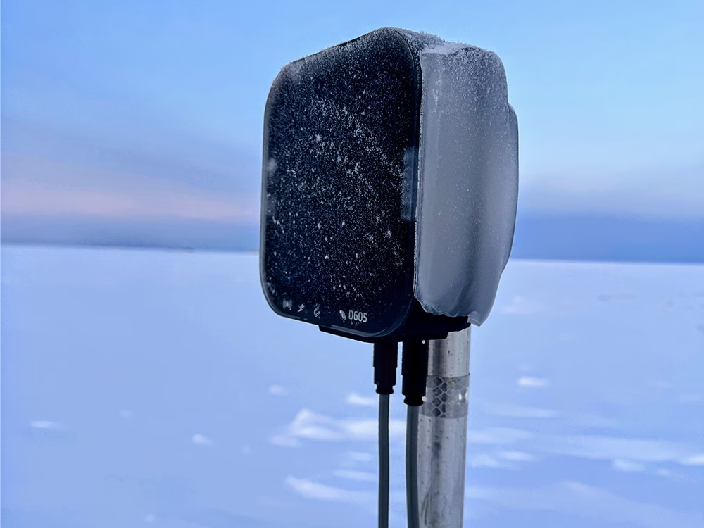
Satellite-Connected Monitoring Helps Operators Access Alaska’s Tundra Earlier
How beadedstream uses Iridium connectivity to backhaul tundra temperatures, helping operators forecast opening windows & access ice roads earlier.
Read More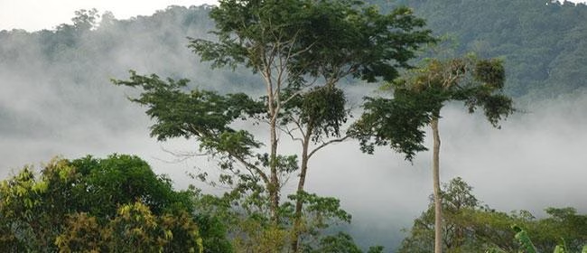
Preventing Illegal Deforestation
Discover how Rainforest Foundation UK uses RockBLOCK satellite IoT to send real-time alerts, helping communities detect and prevent illegal deforestation.
Read More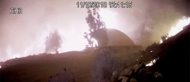
Off-Grid Fire Prevention Systems
RockBLOCK 9602 enables an off-grid wildfire prevention system to detect threats, send alerts and remotely activate high-pressure sprinklers via satellite.
Read More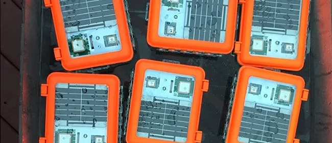
Drifting Buoys for Multi-Use Projects
Maker Buoy uses RockBLOCK 9603 to transmit ocean drift, sea temperature and position data from compact, solar-powered research buoys.
Read More
Data Buoys for Offshore Telemetry
OSIL uses RockBLOCK to transmit oceanographic, weather and water quality data from offshore buoys beyond cellular coverage.
Read More
Space-Bound Instrumentation Packages
RockBLOCK 9602 provides reliable GPS data from high altitude instrument packages, helping a school space program maintain its microwave communications link.
Read More
SCADASat and Garth Wind Shetland Islands Scotland
See how SCADASat enables reliable, real time monitoring and control for a remote community wind farm in the Shetland Islands.
Read More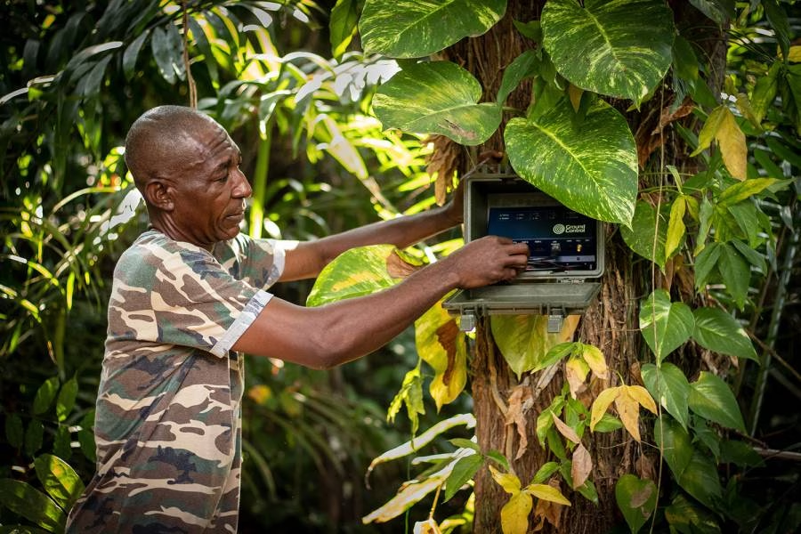
Preventing poaching in Gabon with RockREMOTE IMT
Discover how Digital Forest and Ground Control use RockREMOTE IMT and satellite IoT to deliver real-time AI camera alerts that help prevent poaching in Gabon.
Read More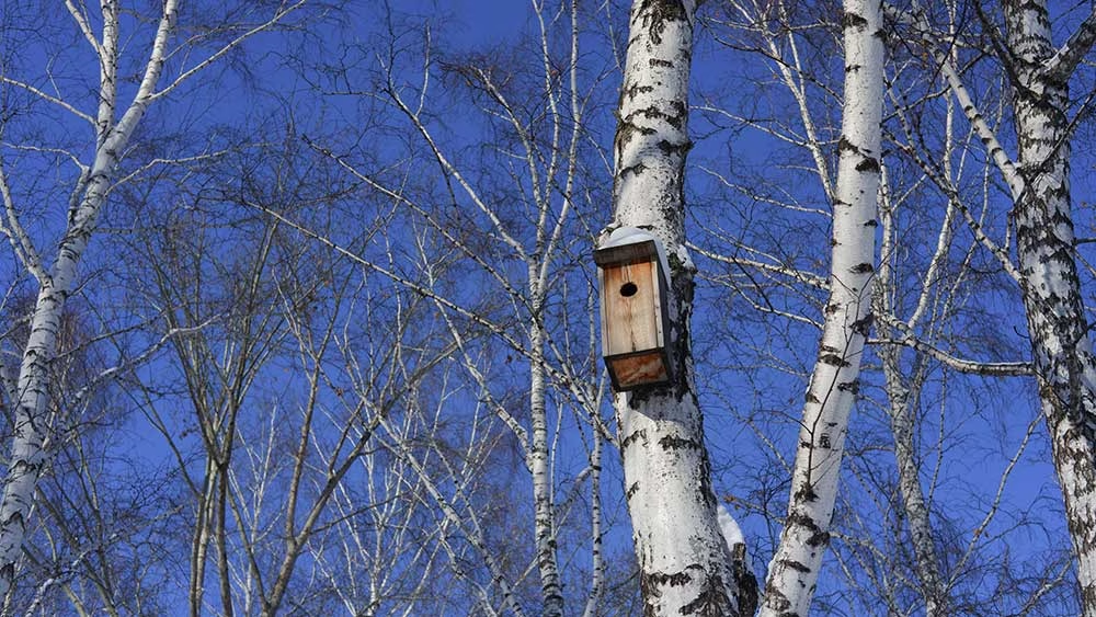
Smart Bird Boxes for Remote Wildlife Monitoring
Discover how Okala and Ground Control created smart bird boxes with cameras, sensors and satellite connectivity for remote wildlife monitoring.
Read More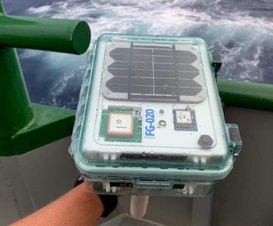
Finding Optimum Oil and Gas Sites with 40Geo Drifting Data Buoys
Satellite-connected drifting buoys help 40Geo collect offshore data that informs where and when oil and gas operators should develop new sites.
Read More