Service: Metocean Data
Akrocean delivers ocean data as a service through their fleet of self-powered data buoys. The buoys are modular, and equipped to capture all types of metocean and environmental data. Designed to be self-sufficient, the deployed buoys can operate for multiple years without needing any human intervention.
Windsea is a floating LiDAR service for wind resource assessment and metocean measurements. Fly’rsea is a floating RADAR solution for bird detection and environmental assessment. Seaobs is the combination of the two, and can host a large range of sensors able to monitor any parameter at your project site.
Akrocean utilize the RockREMOTE to backhaul their data; RockREMOTE is designed for larger volumes of IoT data, and leverages the truly global Iridium Certus 100 airtime service, ensuring that Akrocean’s customers get their data reliably, and close to real-time.
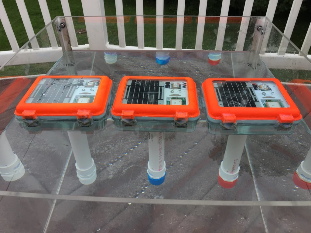
Maker Buoy is an Arduino-based drifting buoy equipped with GPS and a RockBLOCK 9603 Iridium transceiver. Fully solar powered, the buoys can be built to your specification, or you can purchase the ‘Build-a-Drifter’ kit, and assemble your own. This is ideal for educational purposes and scientists / oceanographers wishing to customize the the sensor array themselves.
As standard, the buoys feature temperature and light sensors and an accelerometer in addition to GPS; they’re most frequently used for ocean current monitoring. They’ve been used for diverse applications including helping The Ocean Cleanup foundation monitor the effectiveness of their system by simulating the movement of ocean plastics.
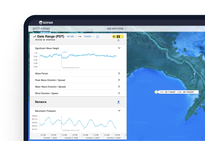
Sofar Ocean developed a data buoy – the ‘Spotter’ – and have deployed hundreds of these marine sensing platforms, creating the largest privately owned network of ocean sensors. Maritime shipping customers subscribe to Sofar’s extremely accurate marine weather forecasts, facilitated by the Spotter network, to help them optimize voyages to save fuel, time and emissions.
Customers can also purchase Spotter buoys themselves to capture ocean data in places not covered by Sofar’s network, and combine their data with the Spotter network to power marine research and solutions. The data captured and transmitted includes wave spectra, wind, surface and subsurface temperature, atmospheric pressure, water levels and currents, with further options available on demand.
The Spotter buoys use a combination of cellular and satellite connectivity, depending on their location, and Sofar Ocean utilizes Ground Control’s Cloudloop platform to manage their satellite airtime.