Remote sensors are used to monitor everything from water levels and weather conditions to industrial equipment and wildlife. However, many of the locations where this information is most valuable are beyond the reach of reliable cellular or fixed communications infrastructure.
Satellite IoT provides a way to collect and transmit sensor data from almost anywhere with a clear view of the sky. This guide explains how satellite-connected sensor systems work, the main ways to connect them and the factors to consider when choosing a device and service.
How Do Satellite-Connected Sensors Work?
- A typical remote monitoring system includes:
- One or more sensors that collect measurements
- A controller or data logger that processes the readings
- A satellite device that transmits the data
- An application or platform where the information is received and used
In some deployments, these functions are handled by separate pieces of equipment. In others, a satellite-enabled data logger can collect, process and transmit sensor data within a single device.
The first decision is therefore whether you need a device that connects directly to your sensors or a satellite communications link for equipment you already have.
Two Ways to Connect Your Sensors
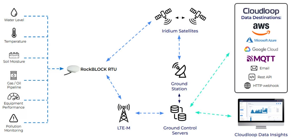
Connect Sensors Directly to a Satellite Data Logger
Some satellite IoT devices include analog and digital inputs that allow sensors and switches to be connected directly.
They can collect readings such as temperature, pressure, water level or flow, as well as changes of state such as whether a door is open or a pump is operating. Where outputs are available, the device may also be able to activate connected equipment in response to a reading or remote command.
This approach is useful where there is no existing controller or data logger at the site.
RockBLOCK RTU is designed for this type of deployment. It combines sensor interfaces, local data processing and cellular or satellite connectivity within a rugged, low-power device.
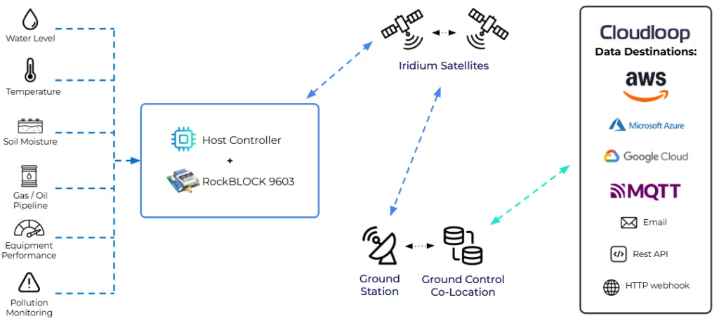
Add Satellite Connectivity to an Existing System
Many sensor systems already include a microcontroller, PLC, data logger or other host device capable of collecting and processing information.
In this case, the satellite device primarily provides the communications link. The host controls what data is sent, how it is formatted and when a transmission takes place.
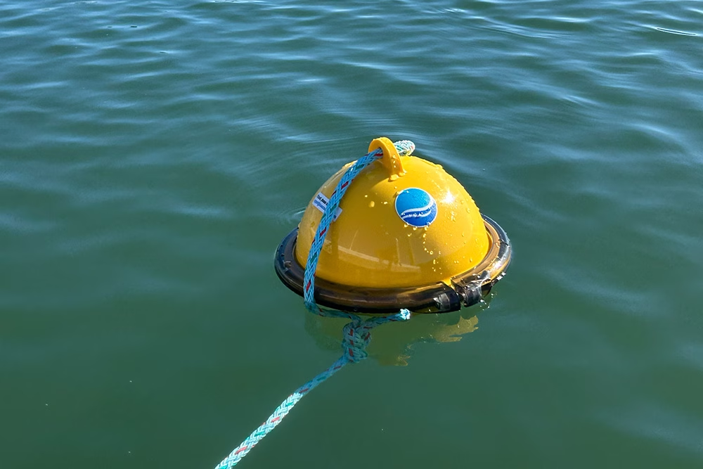
This approach is commonly used for environmental monitoring stations, industrial control systems, weather stations, data buoys and equipment manufacturers adding satellite connectivity to an existing product.
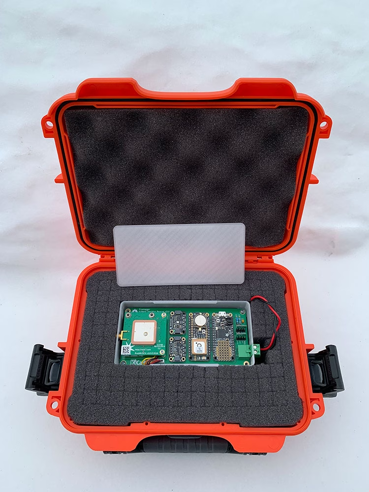
Compact transceivers can be built into a custom enclosure, while ruggedized devices are available for installations that require additional protection from water, dust and temperature extremes.
What Should You Consider?
There’s no single satellite device or service that is right for every sensor deployment. The best option depends on how the system will operate in the field.
Data Volume and Reporting Frequency
A simple sensor reading or equipment-status message may require only a few bytes. A detailed diagnostic report or group of readings may be considerably larger.
Consider how much data each sensor produces, how often it needs to be sent and whether several readings can be combined into one message. Local processing can also reduce airtime by transmitting summaries, exceptions or alerts rather than every raw reading.
Small readings and alerts are well suited to low-data satellite messaging. Applications sending larger reports may require a higher-capacity messaging or IP service.
Delivery Speed
Some information needs to arrive quickly, while other readings can be stored and delivered later.
An equipment failure, flood warning or security alert may require near-real time delivery. Environmental readings or routine status reports may only need to be transmitted every few hours or once per day.
The required delivery speed will influence the choice of network, airtime service and reporting strategy.
Power
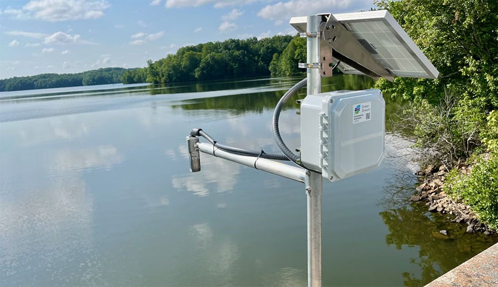
Remote sensor systems are often powered by batteries or solar panels, making power consumption a major design consideration.
The overall requirement will depend on the sensors, controller, satellite device and reporting frequency. A system that wakes briefly, collects a reading, sends a short message and returns to sleep will use significantly less power than one maintaining a continuous connection.
Local processing and data buffering can further reduce the number of transmissions required.

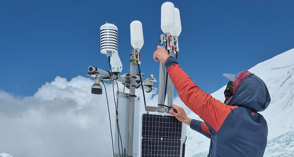
Installation Environment and Antenna Position
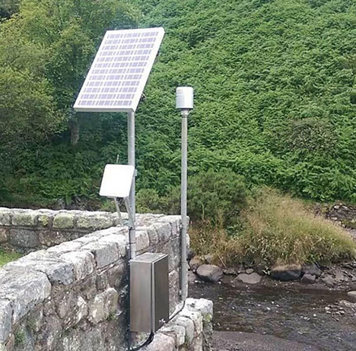
The equipment must be suitable for the conditions in which it will operate, including temperature, water and dust exposure, humidity, corrosion, shock and vibration.
A board-level device may be appropriate inside an existing protected enclosure, while a ruggedized unit may be preferable for direct outdoor installation or mobile assets.
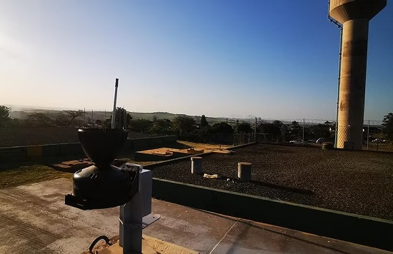
The antenna also needs a sufficiently clear view of the sky. Buildings, trees, terrain, metal structures and the equipment’s own enclosure can obstruct satellite signals or reduce the time available to establish a connection. Mobile deployments must also maintain that view as the asset changes position or orientation.
For more practical guidance, read our article on what a clear view of the sky means for satellite communications.
Data Delivery
Once a message has been transmitted, it still needs to reach the application where it will be stored, displayed or used to trigger an action.
Depending on the system, data may be delivered using webhooks, MQTT, REST APIs, email or direct cloud integrations.
Cloudloop Data manages message delivery between supported satellite devices and your application, helping developers route and integrate data without building the complete satellite delivery infrastructure themselves.

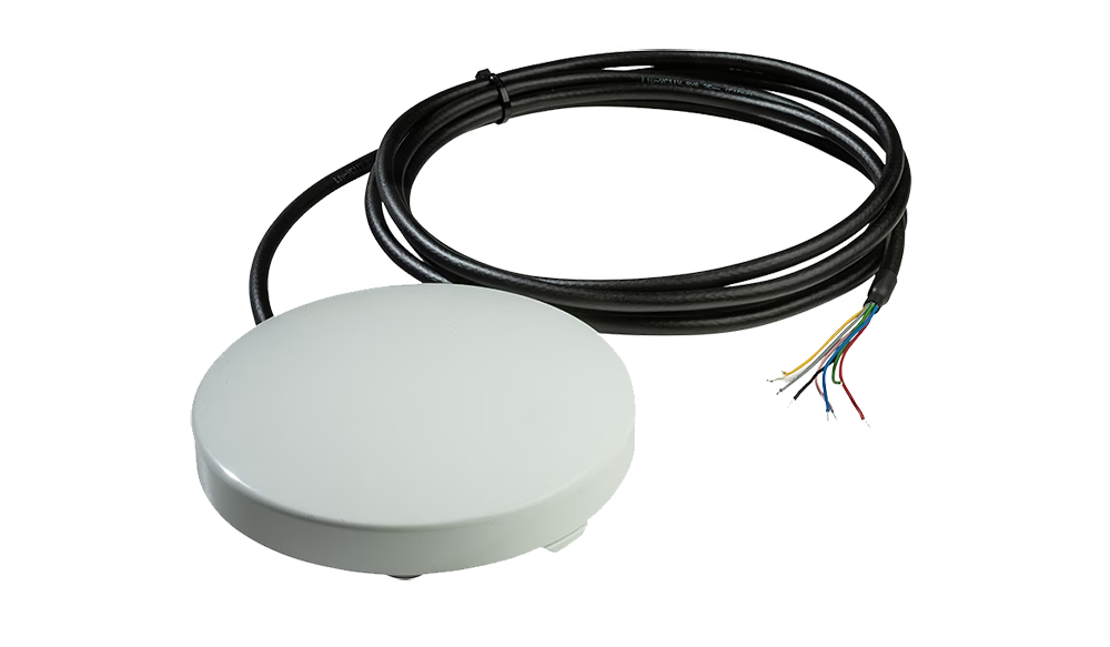
RockBLOCK RTU
Best suited to applications that need to connect directly to analog or digital sensors without a separate controller.
RockBLOCK RTU combines data logging, local processing, configurable inputs and outputs, and cellular or satellite connectivity within a rugged enclosure.
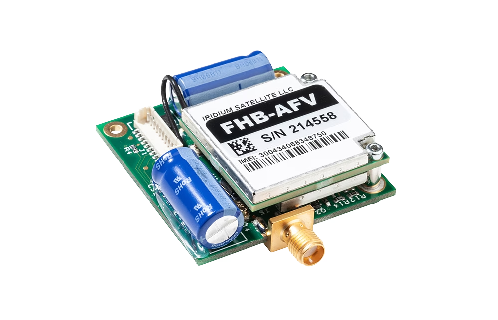
RockBLOCK 9603 and RockBLOCK Plus
Best suited to existing systems sending small readings, alerts or location reports.
RockBLOCK 9603 is designed for compact integration into an existing product or enclosure. RockBLOCK Plus provides similar low-data satellite connectivity within a rugged, weather-resistant enclosure.
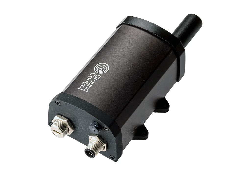
RockBLOCK 9704 Range
Best suited to applications that need to transmit larger messages or more detailed sensor reports.
The RockBLOCK 9704 range uses Iridium Messaging Transport and is available in different form factors for board-level integration, rugged deployments and more capable gateway applications.
Where Are Satellite-Connected Sensors Used?
Satellite IoT supports remote monitoring across a wide range of industries and environments, including:

Environmental and weather monitoring

Water level, quality and flood monitoring

Agriculture and irrigation

Utilities and industrial infrastructure

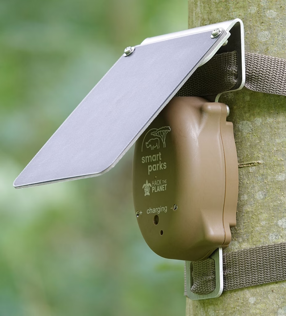
Wildlife and conservation
Maritime buoys and coastal monitoring

Disaster warning systems

Remote equipment monitoring and control


Here to Help
If you need help connecting your sensors in remote locations, please get in touch! With 20 years of experience, we can help you make the best choices based on your requirements.
Please call us on us on +44 (0) 1452 751940 (Europe, Asia, Africa, Oceania) or +1.805.783.4600 (North and South America); email hello@groundcontrol.com, or complete the form.