Industry: Maritime
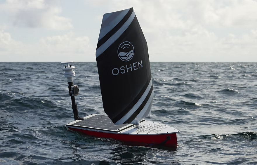
Oshen, a Plymouth, UK-based company, specializes in developing one meter long ocean robots designed for weather and environmental monitoring.
These robots, engineered to function as adaptable buoys, provide vital data from the sea over extended periods, enabling transformative advancements in oceanographic research and forecasting.

The Challenge
For Oshen’s ocean robots to operate effectively, they require robust, low power satellite communication to ensure seamless data transfer and remote control, especially in areas beyond cellular coverage.
The ability to access real time sensor readings and monitor device performance without manual intervention is critical for maintaining operational efficiency and delivering actionable insights.
The Solution
Oshen partnered with Ground Control to integrate Iridium Short Burst Data (SBD) technology into their ocean robots. Our satellite communication solutions provide reliable, low-power connectivity, enabling Oshen to collect mission-critical data and remotely monitor the robots’ performance in real time.
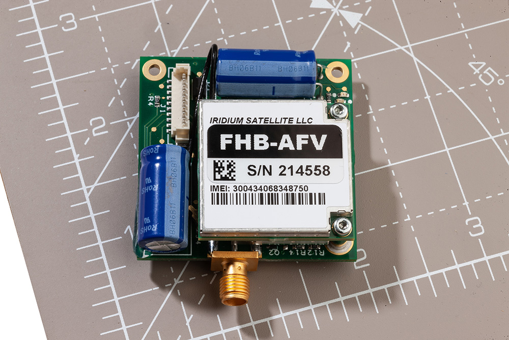
The RockBLOCK 9603 satellite module, tailored for low power devices, has been seamlessly incorporated into Oshen’s system, ensuring efficient operation even in challenging marine environments.
“Ground Control’s support has been invaluable in getting the data moved by the RockBLOCK 9603 modules to work with an easy-to-use dashboard.”
Marcus Thorpe, Robotics Engineer, Oshen
The Results
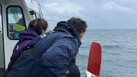
Oshen has achieved remarkable milestones with its satellite IoT-enabled ocean robots.
- Storm Navigation Success: One of Oshen’s ocean robots successfully navigated through a severe storm, demonstrating the reliability and resilience of its systems under extreme conditions
- Enhanced Forecasting Collaboration: Oshen is working with the Met Office to explore how its data can enhance weather forecasting, potentially revolutionizing the accuracy of marine and atmospheric predictions
- Marine Wildlife Monitoring: In partnership with a leading U.S.-based ocean research institute, Oshen is contributing to dolphin and whale monitoring projects, expanding its role in advancing marine conservation efforts.
Oshen’s innovative approach to ocean data collection, combined with Ground Control’s reliable satellite IoT solutions, is driving significant advancements in marine research and environmental monitoring. By overcoming the challenges of remote communication, Oshen continues to unlock new possibilities for oceanographic exploration and sustainability.
Can Satellite IoT Enhance Your Operations?
We design and build our satellite IoT hardware in the UK and USA, in addition to a suite of software services designed to help you get the most out of your data.
We are experts at retrieving data from remote locations reliably, cost-effectively, and quickly. Email hello@groundcontrol.com to speak with one of our technical team, or complete the form.
Ground Control in Partnership with Pivotel
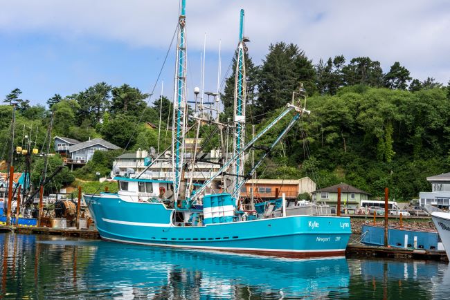
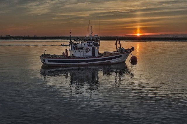
Ground Control has been working successfully in partnership with leading remote communication provider Pivotel to support the RockFLEET devices deployed with Queensland and New Zealand fishers. Over 700 RockFLEET units have been installed on Queensland and New Zealand fishing boats.
Our collaboration resulted in an expansion of the RockFLEET capabilities to support SOS alarms, scheduled check-ins, remote messaging, and catch-reporting via Bluetooth apps. RockFLEET can also slow down automatically when in port.
Currently, there’s a focus on ensuring the device maintains effective tracking for all Queensland and New Zealand vessels. Leveraging Pivotel’s online tracking portal, Tracertrak, the RockFLEET device provides real-time and historical location information to the license holder.
“The RockFLEET device is a high-quality product that’s proven easy to install and operate, but still offers the sophisticated data and coverage that the Queensland fishing industry requires.”
Peter Bolger, CEO

The Challenge
Under the terms of the scheme in Queensland, all commercial fishing and charter boats required a vessel tracking device to be fitted and operational by the end of 2020. Meanwhile, trawl, net, crab and line boats required VMS tracking to comply with regulation that came into effect in early 2019.
This is becoming a reality for many fishing industries around the world and the products used need to be reliable, robust, and connected, wherever the boat may be.
The Solution
RockFLEET’s proven reliability ensures skippers can always meet tracking requirements under their scheme.
The comparatively low initial hardware outlay and ongoing airtime costs makes RockFLEET a competitively priced VMS solution. Its compact and lightweight design makes it easy and simple to install.
The global two way communication ability, low cost of ownership, and reliability of the Iridium network gives clear advantages for VMS.
- Truly global two-way coverage
- All-in-one small unit and easy installation
- Bluetooth API with iOS/Android libraries
- Automatic transmission rate changes
- Proven maritime build quality and longevity
- Lifetime phone and email support
- Full API support for third-party mapping portals.
Built with Ground Control
The work we support genuinely inspires us, and we’re proud to create solutions and solve customer problems like no one else can.
If you’d like to get in touch with the team either to discuss a challenge similar to that of the one above, or something completely different our team of experts will be happy to provide objective advice. Either complete the form or email hello@groundcontrol.com and we’ll respond within one working day.
In 2017, Founder Brandon Wright’s sailboat, SV Inconceivable, broke mooring in a winter storm, and floated to shore. Researching monitoring solutions to prevent this happening without warning again, Brandon struggled to find something that ticked all the boxes, including position relative to geo-fences, battery voltages, and bilge activity. With a background in IoT and electrical engineering, Brandon was perfectly equipped to plug the gap in the market, and Barnacle Systems was born.

The Project
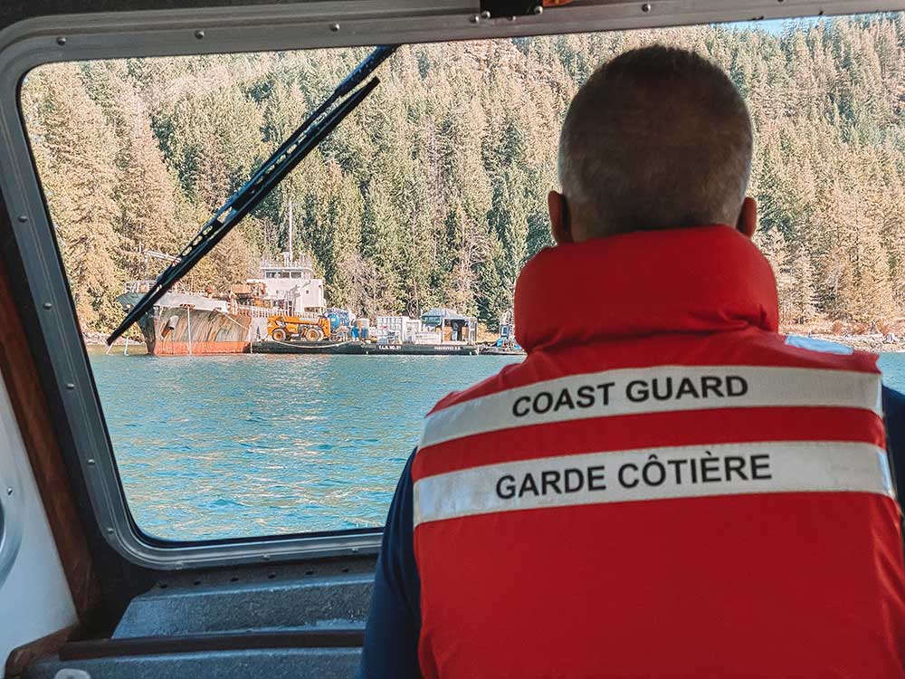
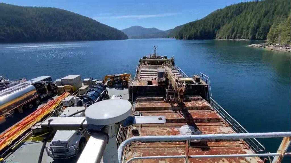
There are over 2,700 wrecked, abandoned and/or hazardous vessels in Canadian waterways, which present a navigational hazard for other boats, and as they degrade, can release contaminants into the water, poisoning marine life. These contaminants range from diesel, gas and system fluids to bottom paint and batteries. Since 2019, it’s been illegal for owners to abandon their boats, but there’s a vast legacy problem that’s tricky to solve.
With the longest coastline in the world (243,042 km), the Canadian Coast Guard has to be selective about which boats it can salvage, and in order to do so effectively, they need to know which vessels present the greatest risk.
The Solution
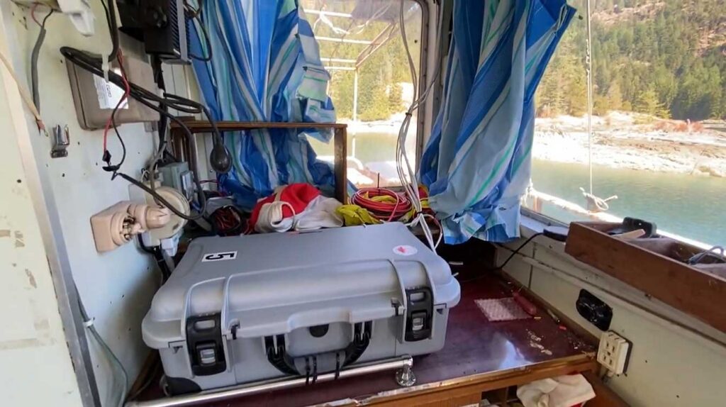
The Canadian Coast Guard has invested in 45 BRNKL Rapid Deploy units from Barnacle Systems. These are purpose-designed for the remote, long-term monitoring of stricken vessels, with capabilities ranging from position tracking, monitoring the list (heel), pitch, and sudden impacts; detecting if water is present in a specific area; and detecting and capturing photos of intruders.
The solar-powered devices are placed on board problematic vessels and enable the Coast Guard to remotely monitor them, with alerts if they begin to sink, or change position, or if intruders are detected. Real time notifications allow them to quickly deploy hazard response teams when needed; if no changes are detected, the Coast Guard can continue to remove and recycle other vessels which present a more immediate risk.
The Satellite Connection
The BRNKL Rapid Deploy units are equipped with both cellular and satellite modems for data transmission, and Brandon chose Ground Control’s RockBLOCK Plus for the satellite connectivity. RockBLOCK Plus is a fully waterproof, plug-and-play satellite transceiver that utilizes the Iridium Short Burst Data® (SBD®) airtime service, designed for IoT applications. With 66 satellites in Low Earth Orbit, Iridium offers global coverage, including the polar regions; important for Canada, as 40% of its land mass is considered Arctic.
Further, RockBLOCK Plus does not need to be ‘pointed’ to transmit to the satellites; the omni-directional antenna just needs a clear view of the sky. This means should the boat move, there’s no risk of the transmission being interrupted because of line-of-sight issues.
Having used other satellite services in the recent past, Brandon knew Iridium was the right airtime choice, due to its reliability and coverage.
“When I spoke to the Ground Control team about the BRNKL Rapid Deploy units, they recommended the RockBLOCK Plus. Its ruggedness, low power requirements and affordable transmission costs are ideally suited for this application, and they’re working exactly as intended.”
Brandon Wright | P.Eng. | CEO
What’s Next?
Barnacle Systems plans to expand the BRNKL Rapid Deploy into the global vessel salvage market, as the solution will work just as effectively for marine salvage operations anywhere on the globe. By receiving alerts about intruders or further damage to a boat scheduled for salvage, operators reduce risks and can better prioritize which vessels to extract.
Would you like to know more?
If you need to collect IoT data from remote and inhospitable locations, you can’t go wrong with the RockBLOCK Plus. That said, there are an increasing number of choices available to you – good news, because competition drives innovation and lowers costs, but it can be difficult to identify which device and satellite airtime service will best meet your needs.
The Ground Control team are here to help! We have 20 years experience in satellite services, and design and build our own satellite IoT devices. We’ll offer you objective, expert advice; just call or email us, or complete the online form.
Ambrey is a global leader in maritime security, intelligence and risk management, supporting more than 24,000 vessels operating across over 34 of the world’s most complex and high risk maritime regions.
As GNSS jamming and spoofing become an increasingly common feature of commercial shipping, maintaining confidence in vessel position has become an important part of safe and efficient operations. Trusted situational awareness supports navigation, operational decision-making, regulatory compliance and the protection of crews and assets.
To enhance the services available to customers operating in these challenging environments, Ambrey has partnered with Ground Control to incorporate RockFLEET Assured into its wider maritime security offering.
The Challenge
Across key shipping routes including the Baltic, Black Sea, Red Sea and Strait of Hormuz, deliberate GNSS interference is becoming an increasingly common operational challenge.
When GNSS signals are disrupted or manipulated, the effects can extend well beyond navigation. Bridge teams may receive conflicting information from connected systems, making it more difficult to assess vessel position and maintain confidence in the information available to them. This can increase operational workload and complicate decision-making in already demanding environments.
Ambrey was hearing these concerns from customers operating in higher risk regions and recognized the value of an independent positioning reference that could help validate vessel position whenever GNSS integrity is uncertain.
“Our customers consistently highlight the challenges of operating in GPS-denied environments as a major safety concern. We are delighted to be working with Ground Control as a world leader in this space, bringing assured tracking and navigation to our clients.”
Ben Westcott, Director of Digital Services at Ambrey
The Solution
RockFLEET Assured is Ground Control’s maritime Assured Positioning, Navigation and Timing (A-PNT) solution, developed to help vessel operators maintain confidence in position data when conventional GNSS is affected by jamming or spoofing.
Built around Iridium’s secure, independent PNT service, RockFLEET Assured provides an assured positioning reference alongside existing navigation systems. By continuously comparing GNSS-derived position with Iridium PNT, bridge teams and shore operators can identify discrepancies, recognize potential interference and make more informed operational decisions.
Ambrey has chosen to incorporate RockFLEET Assured into its maritime security, intelligence and risk management services, combining assured positioning with the operational support provided by its 24/7 Global Operations Centre.
How It Works
RockFLEET Assured continuously compares conventional GNSS with Iridium PNT, providing bridge teams and shore operators with an independent reference for validating vessel position. This allows discrepancies to be identified quickly, supports the detection of potential jamming or spoofing events, and helps crews maintain operational confidence in GNSS-compromised environments.
Positioning events can also be recorded and shared ashore, supporting incident investigation, operational reporting and discussions with insurers where appropriate.
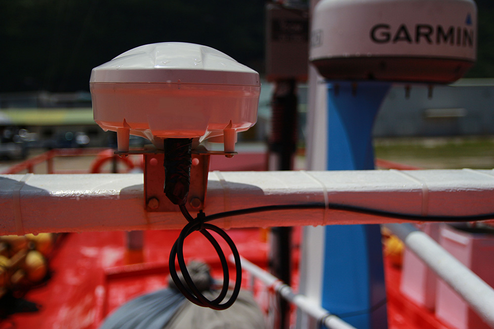
Designed specifically for commercial maritime deployment, RockFLEET Assured is supplied as a compact above-deck terminal with flexible mounting options suitable for a wide range of vessel classes and superstructure configurations. Its rugged IP66-rated enclosure is engineered for harsh marine environments, while the standard installation requires no below-deck equipment, helping minimize installation time and operational disruption.
Combined with Ambrey’s Global Operations Centre, customers benefit from assured positioning alongside the intelligence and operational expertise needed to interpret navigation anomalies within the wider context of maritime risk.
“GNSS disruption is no longer a niche concern. It’s becoming an operational reality for commercial fleets operating in many parts of the world. We’re excited to be working with Ambrey to make RockFLEET Assured available as part of its wider maritime services, combining their operational expertise with our assured positioning capability. Together we’re helping ship and shore teams validate vessel position, identify anomalies and maintain confidence when GNSS integrity is in doubt.”
Alastair MacLeod, CEO of Ground Control
The Outcome
By bringing together Ground Control’s assured positioning technology and Ambrey’s maritime operational expertise, commercial operators gain greater resilience when operating in regions affected by GNSS disruption.
RockFLEET Assured provides an independent positioning reference alongside conventional GNSS, enabling operators to validate vessel position, recognize anomalies more quickly and maintain confidence in the information available to bridge and shore teams.
The result is improved situational awareness, better-informed operational decision-making and greater resilience for vessels operating in increasingly contested navigation environments.
Strengthen Your Navigation Resilience
Learn how RockFLEET Assured can help your organization maintain confidence in vessel position when GNSS signals are disrupted.
Complete the form or email hello@groundcontrol.com to speak with one of our specialists or arrange a demonstration.
The role RockBLOCK 9603 plays in the removal of carbon from open oceans
Running Tide is on a mission to restore ocean health and productivity, rebalance the carbon cycle, decarbonise global supply chains, and revitalise coastal communities.
Running Tide’s multidisciplinary team designs and develops integrated software and hardware systems, including monitoring and measurement capabilities to deploy nature-based interventions that remove carbon, combat ocean acidification, and increase the scientific understanding of ocean ecosystems.


The Global Carbon Challenge
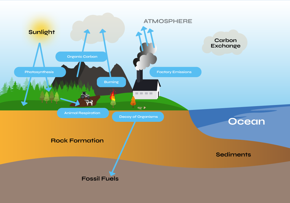
Globally, 100–1000 billion tons of CO2 must be removed from the atmosphere before the end of the century to reach long term climate goals of the Intergovernmental Panel on Climate Change (IPCC). One impact of this will be to lower the levels of acidity in the ocean, which by some estimates, has already absorbed 30% of the 2 trillion tonnes of CO2 emitted since the beginning of the industrial era.
The high acidity is wiping out marine species and contributing to coral bleaching; by reducing ocean acidification, we can protect marine life, and prevent greater food insecurity. Development of technologies that drive large-scale intervention to move CO2 from the fast carbon cycle to the slow cycle are essential to achieving this goal.
The deep ocean is a massive reservoir that, by current estimates, stores 37,000 gigatons of carbon. Efficiently and effectively moving measurable quantities of CO2 from the fast cycle back to slow, while not disrupting or causing damage to marine life, requires both nature-based innovation and satellite-based technology.
Ocean-Based Carbon Removal
Running Tide is developing a global carbon removal system with the capability to integrate and amplify natural carbon removal pathways. It processes sustainably sourced, carbon-rich terrestrial biomass into buoys, to be deployed in the open ocean and dispersed by ocean currents.
Buoys are coated with calcium carbonate or similar alkaline materials, and when placed in the open ocean, the carbon buoy partially dissolves, thereby sequestering CO2 through a recognised carbon removal process known as Ocean Alkalinity Enhancement (OAE).
Running Tide also incorporates macroalgae in its carbon removal system. Buoys can be seeded with macroalgae, and in the duration that the carbon buoys float, the macroalgae fixes carbon while it grows. Once the buoys absorb enough water to lose buoyancy, they rapidly sink, transporting the embodied fast carbon to the deep ocean (slow carbon cycle), where it remains for centuries or millennia.
Moving To The Slow Carbon Cycle
This process effectively transports carbon, stored in both the macroalgae and terrestrial biomass within the buoy, thereby removing it from the fast cycle to the slow carbon cycle. The system amplifies existing natural processes, and utilizes low-energy inputs (gravity, photosynthesis, and ocean currents). Running Tide’s carbon removal system is highly scalable, and shows the promise of a solution that can meet the scale of the problem.
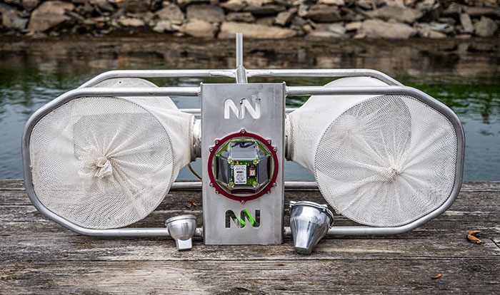
To measure the efficacy of carbon buoy deployments, Running Tide utilizes a fleet of verification buoys that are deployed alongside the carbon buoys at sea, part of the company’s detailed quantification platform.
Powered by RockBLOCK 9603
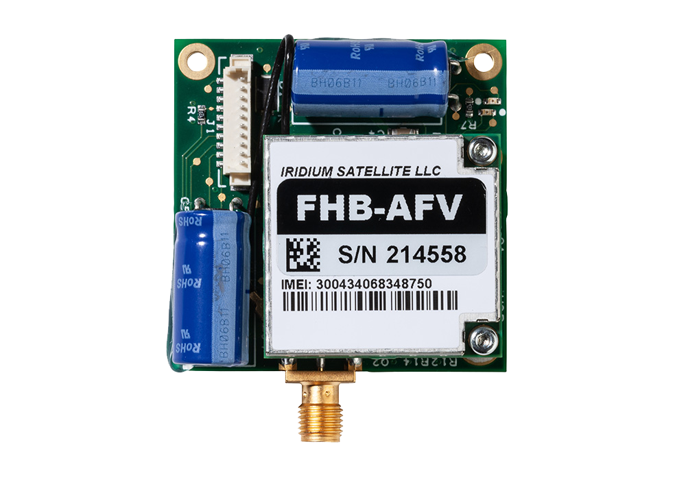
Capturing data from the carbon buoy deployments is essential to understanding their rate of progress, and satellite connectivity for the data transmission is essential. While designing their verification buoy fleet, Running Tide conducted a deep dive into the available satellite communication options, and selected RockBLOCK 9603.
This Iridium-powered, plug-and-play transceiver sends and receives messages via Short Burst Data (SBD) from anywhere on Earth with a view of the sky. This makes the device the optimum solution for reliable data transmissions from Running Tide’s verification buoys.
The data transferred is designed to quantify the carbon removed and optimize the system for future deployments: including those related to the size and composition of buoys, the lifecycle of the macroalgae, and the timing and location of deployments.
“Capturing comprehensive and accurate data in the early stages of the carbon buoy roll-out is particularly important so we can model the impacts of each iteration of our interventions and the progression of macroalgae in future deployments. We chose the RockBLOCK 9603 because it provides global coverage, has competitive and flexible data plans, and is integrator friendly to our existing carbon removal system.”
Tim Dyson | Senior Electrical Engineering Manager | Running Tide
What’s Next?
In December 2022 and January 2023, Running Tide launched two deployments of verification buoys out of its base in Iceland, which encapsulated RockBLOCK 9603 technology. Ultimately, Running Tide’s carbon removal system aims to not only restore and amplify the transfer of carbon from the fast cycle to the slow at scale, but to also create carbon-negative supply chains that drive decarbonization across a number of additional critical industries.
Would you like to know more?
With over 20 years of satellite experience, the Ground Control team is well placed to help keep you connected when it matters the most.
Whatever your communication or connectivity needs, we can help. Talk to one of our team to discover our products and services and how they can benefit, improve and streamline your applications.
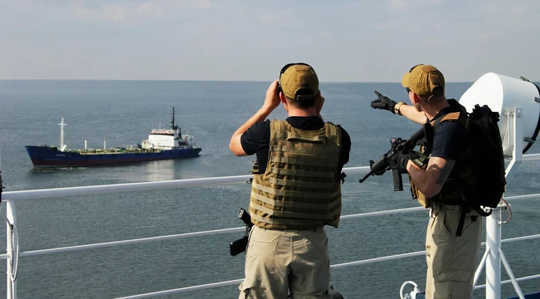
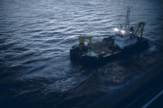
Challenges in Maritime Security
In the anti-piracy and maritime security world, it’s vital to know the situation of your remote teams.
You can’t rely on the communication facilities aboard the vessels you’re protecting, both for privacy reasons and in case of possible compromise.
We provide RockSTAR units to a large number of marine security and anti-piracy firms worldwide. They provide accurate tracking, allowing the position of your teams/vessels to be monitored while in transit. They also give a secure and private means of communication for onboard team leaders.
The Solution – RockSTAR device
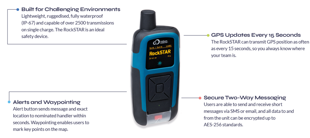
Typically, when marine security teams deploy onboard a vessel, they take a RockSTAR device with them. Before the start of the transit the unit is turned on and will start transmitting a position fix once per hour (or whatever the customer chooses). Back at HQ, the customer uses the Cloudloop management system to monitor the positions of all their teams/vessels.
The RockSTAR’s means of communication is completely separate from the vessel, so even if power is turned off aboard, the RockSTAR will continue to operate. A command can be sent to go into ‘stealth mode’, which means that the screen and LED are turned off and the unit continues to operate as normal, but it looks as though the battery has run out – useful if compromised.
In the case of an emergency, the RockSTAR unit can alert HQ, using either the dedicated red button or, even better, the messaging facilities to indicate the type of alert and any other relevant details.
Safeguarding personnel and assets with the RockSTAR
KEY FEATURES FOR MARITIME SECURITY TEAMS
- GPS Tracking – Frequency of transmissions between 15 seconds – once per day
- Up to 3-month battery life (when transmitting every hour)
- Portable and can be covertly carried/mounted
- Two-way messaging between teams and HQ
- Access to Cloudloop for management across all deployed teams
- Various alert options including red button, timer alert and dead man’s switch
- Pay only when the units are being used at sea, no annual contracts
In summary, the RockSTAR is a private means of communication and tracking between the marine security company and the teams on the vessel. It’s robust, reliable, and popular in the industry.
Want to know more?
If you’re interested in the RockSTAR device as a possible solution to Marine security or any other communication challenges, we’d love to hear from you. Call or email us, or complete the form, and one of our experienced team will be happy to help.