Industry: First Responders
TracPlus is a global market leader offering a comprehensive suite of technical capabilities that deliver real-time data analytics and operational intelligence for aerial firefighting and mission-critical operations.
TracPlus collaborated with Ground Control on the RockAIR, a portable aircraft tracking device, engineered to provide seamless connectivity for operators worldwide with unparalleled tracking and communication solutions through a unified operational view.
This collaboration marked a significant advancement in the aerial firefighting market. With the integration of TracPlus’s cloud platform transmitting operational data to the data insights provided by RockAIR, aerial firefighters can operate confidently knowing their team is safe and ensure effective streamlined decision-making during their operations.
v2track works with clients around the globe to effectively track and communicate with assets, whether they’re in the air, on land or at sea. Their comprehensive platform includes fleet management functionality, transmission of flight plans, manifest, checklists and custom forms, 3D trip playback, and transmission of AHRS data.
Their advanced cloud-based tracking software enables ground crews to monitor assets in real time, send two-way messages and set up alerts for a wide variety of parameters.
When partnered with our dual-mode (satellite/cellular) RockAIR, RockFLEET and RockSTAR products, v2track’s innovative platform provides a cost-effective, end-to-end solution for fleet tracking anywhere in the world.
Locate is as an advanced and intuitive emergency incident management platform, developed in 2016 to address a spectrum of critical needs and help organizations across the globe keep their people safe. Their platform excels in swiftly identifying critical events, locating users, facilitating global mass communication, and orchestrating a prompt response.
One of Locate Global’s pivotal strengths lies in its global communication capabilities. By combining their incident management platform with Ground Control’s advanced satellite hardware, they can deliver a powerful, integrated solution, connecting stakeholders worldwide, bridging geographical gaps, and fostering a collaborative environment crucial for effective crisis management.
- Seamless Connectivity: Ground Control’s satellite technology ensures reliable communication and data transmission, even in the most remote locations
- Real-time Incident Management: Locate Global’s platform provides real-time tracking, reporting, and resolution of incidents, enhancing safety and operational efficiency
- Enhanced Coverage: Clients benefit from expanded geographical coverage, enabling them to operate confidently across the globe.
This global reach ensures that information flows seamlessly, empowering decision-makers with real-time data for an informed and strategic response. In times where every second count, Locate Global’a platform instils confidence – delivering a dependable framework that organizations can rely on during their most challenging times.
American Signal Corporation (ASC) designs, manufactures, installs and maintains state-of-the-art mass notification systems and emergency alert systems. Recognized and implemented worldwide, ASC’s solutions are relied upon daily by governments, communities, numerous industries, universities and military facilities. ASC has been an industry leader since it was founded in 1942.

Importance of ASC’s Work in Thailand
No one can forget the appalling loss of life and devastation caused by the 2004 Indian Ocean earthquake and tsunami (the “Boxing Day Tsunami”). An estimated 227,898 people died in 14 countries, in one of the deadliest natural disasters in recorded history.
There were no tsunami detection systems, nor means of warning the general population, in the Indian Ocean, so despite there being several hours between the earthquake and the ensuing tsunami, only a few communities recognized the warning signs and made for safety.
After the tsunami, this very quickly changed, and that’s where ASC stepped in. Working with the Thai Government, ASC and their dealer installed a nationwide network of devices, including high powered speaker arrays and other alerting devices together with bespoke management software to alert people to threats posed by tsunamis, floods and other disasters, both natural and manmade.


The Challenge
As a critical communications network, there was never any question that the early warning system would need to utilize satellite connectivity, both for the coverage requirements and network reliability. Commercial terrestrial power and communications networks tend to perform poorly in a disaster – either through overuse or damage to their infrastructure.
ASC’s previous solution utilized geostationary satellites. Given the importance of the early warning signal, they had priority routing to ensure that their messages weren’t queued behind less time-critical data. When this service was discontinued, it was clear to the ASC team that they needed another solution to ensure that their data was passed reliably, securely and in as close to real-time as possible to the authorities.
The Solution
American Signal Corporation chose Ground Control’s RockBLOCK Plus as their satellite transceiver. This delivers plug and play connectivity to the Iridium satellite constellation, which is a network of 66 satellites in low earth orbit (LEO). This has several benefits for the ASC team:
- The Short Burst Data (SBD) service from Iridium enables real time data through low-latency connections – essential for mission-critical applications like ASC’s tsunami warning system
- The omni-directional antennas are extremely easy to install as they do not require alignment with the geostationary satellite
- Iridium SBD uses the L-Band frequency range which has a longer wavelength, and so is not affected by rain fade; it’s both highly resilient and stable.
There are in excess of 1500 alerting devices across Thailand, of which over half are equipped with the RockBLOCK Plus transceivers. Radio is used for last mile connectivity of the remaining alerting devices from control points equipped with RockBLOCK Plus transceivers. The system is tested on a regular basis with a live activation by the Thai government together with daily polls to ensure that every device is operational, and data upload / download is as quick as required.
Do you need reliable, global coverage?
Ground Control can help. We’ve been providing satellite connectivity for communications, tracking, and IoT data backhaul since 2002.
We have customers in 107 countries and are trusted partners of airtime providers including Iridium and Inmarsat. Call us or complete the form to get a conversation started about your requirements.
Off-Grid Fire Prevention Systems
Wildfire Risks and Challenges
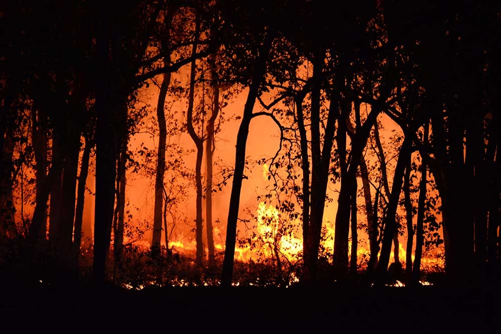
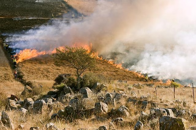
Every year, wildfires devastate tens of thousands of properties across the globe. Homes in remote locations are usually the worst affected, as they may be alerted too late; many homes in remote areas are outside GSM range and far from fire stations, or lack sufficient extinguishing capabilities.
Regular home fire safety equipment (alarms and extinguishers) rely on a fire to have already entered the premises or someone to be home to raise the alarm. Though standard fire safety equipment can assist small fires, wildfires are fierce and the devastation quick, resulting in loss of assets and even loss of life. So whether at home or away, access to a robust safety system is incredibly important.
Off-grid fire prevention systems can protect properties and communities as a whole, but reliable, continuous transmission of data is paramount to any safety systems ongoing success.
Hot Shot Automatic Personal Home Fire Department System
James Dziadulewicz, B.S. Eng. mechanical and electronics engineer, built an automated off-the-grid fire prevention system called the Hot Shot Automatic Personal Home Fire Department System. It detects wildfires in real-time and generates a virtual progression map.
The technology uses a RockBLOCK 9602 to send the data to the app built by James’ friend Matthew Jenks, a software and electrical engineer.
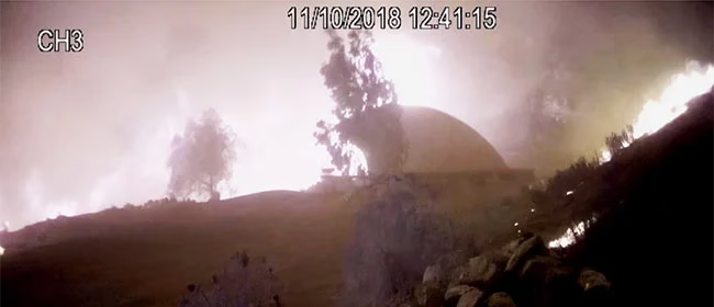
Since RockBLOCK is a two way communication system, a command can then be sent back to the system to trigger the high pressure sprinkler system to drench the property and save the home. A process which was followed and succeeded in a real-life event in 2018.
“This is a satellite-based system that’s activated by our smart mesh network of sensors or a cell phone. Our [Malibu] Home survived a trip to hell, untouched as it was by the worst of the Malibu wildfire. This invention works.”
James Dziadulewicz, Creator of Hot Shot Fire Prevention System
RockBLOCK: Plug-and-Play Satellite Connectivity
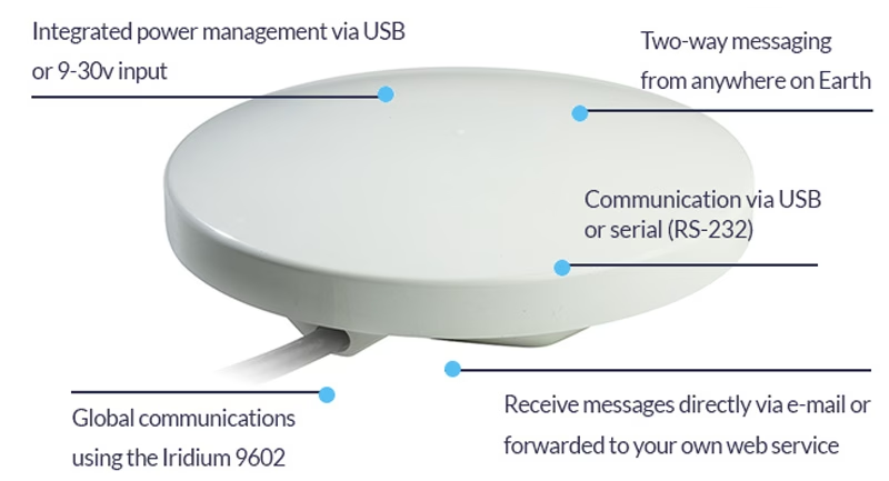
RockBLOCK 9602 is a versatile, compact, low power and dependable way of sending and receiving data from remote homes. It uses the Iridium satellite network, giving truly global coverage and is a vital part of fire prevention systems.
Already being used by a number of remote homes with patents pending, we’re hoping to see systems being rolled out over more areas with high fire risks.
- Truly global two way coverage
- Low power usage, small antenna
- Plug-and-play product, simple setup
- Reliable data transmission with acknowledgements
- Lifetime phone and email support.
Built with Ground Control
The work we support genuinely inspires us, and we’re proud to be a part of the innovative solutions created by our partners and customers.
If you’d like to get in touch with the team either to discuss a challenge similar to that of the one above, or something completely different, our team of experts will be happy to provide objective advice.
In 2017, Founder Brandon Wright’s sailboat, SV Inconceivable, broke mooring in a winter storm, and floated to shore. Researching monitoring solutions to prevent this happening without warning again, Brandon struggled to find something that ticked all the boxes, including position relative to geo-fences, battery voltages, and bilge activity. With a background in IoT and electrical engineering, Brandon was perfectly equipped to plug the gap in the market, and Barnacle Systems was born.

The Project
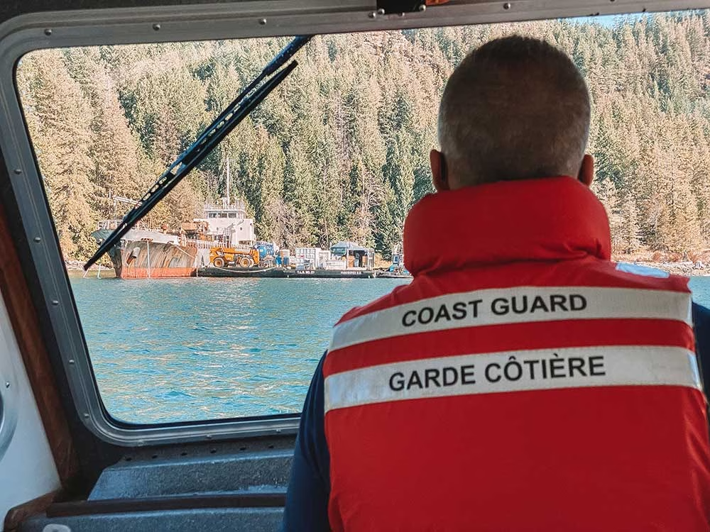
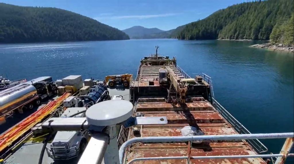
There are over 2,700 wrecked, abandoned and/or hazardous vessels in Canadian waterways, which present a navigational hazard for other boats, and as they degrade, can release contaminants into the water, poisoning marine life. These contaminants range from diesel, gas and system fluids to bottom paint and batteries. Since 2019, it’s been illegal for owners to abandon their boats, but there’s a vast legacy problem that’s tricky to solve.
With the longest coastline in the world (243,042 km), the Canadian Coast Guard has to be selective about which boats it can salvage, and in order to do so effectively, they need to know which vessels present the greatest risk.
The Solution
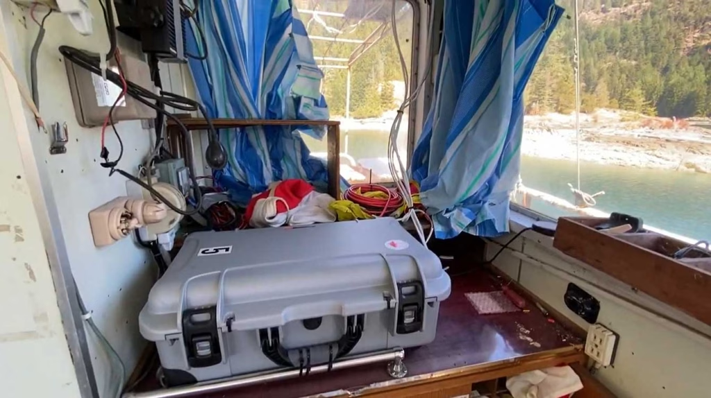
The Canadian Coast Guard has invested in 45 BRNKL Rapid Deploy units from Barnacle Systems. These are purpose-designed for the remote, long-term monitoring of stricken vessels, with capabilities ranging from position tracking, monitoring the list (heel), pitch, and sudden impacts; detecting if water is present in a specific area; and detecting and capturing photos of intruders.
The solar-powered devices are placed on board problematic vessels and enable the Coast Guard to remotely monitor them, with alerts if they begin to sink, or change position, or if intruders are detected. Real time notifications allow them to quickly deploy hazard response teams when needed; if no changes are detected, the Coast Guard can continue to remove and recycle other vessels which present a more immediate risk.
The Satellite Connection
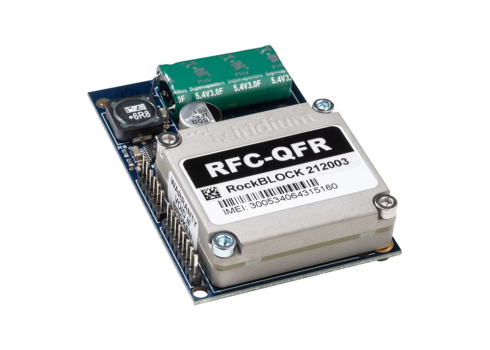
The BRNKL Rapid Deploy units are equipped with both cellular and satellite modems for data transmission, and Brandon chose Ground Control’s RockBLOCK Plus for the satellite connectivity. RockBLOCK Plus is a fully waterproof, plug-and-play satellite transceiver that utilizes the Iridium Short Burst Data® (SBD®) airtime service, designed for IoT applications. With 66 satellites in Low Earth Orbit, Iridium offers global coverage, including the polar regions; important for Canada, as 40% of its land mass is considered Arctic.
Further, RockBLOCK Plus does not need to be ‘pointed’ to transmit to the satellites; the omni-directional antenna just needs a clear view of the sky. This means should the boat move, there’s no risk of the transmission being interrupted because of line-of-sight issues.
Having used other satellite services in the recent past, Brandon knew Iridium was the right airtime choice, due to its reliability and coverage.
“When I spoke to the Ground Control team about the BRNKL Rapid Deploy units, they recommended the RockBLOCK Plus. Its ruggedness, low power requirements and affordable transmission costs are ideally suited for this application, and they’re working exactly as intended.”
Brandon Wright | P.Eng. | CEO
What’s Next?
Barnacle Systems plans to expand the BRNKL Rapid Deploy into the global vessel salvage market, as the solution will work just as effectively for marine salvage operations anywhere on the globe. By receiving alerts about intruders or further damage to a boat scheduled for salvage, operators reduce risks and can better prioritize which vessels to extract.
Would you like to know more?
If you need to collect IoT data from remote and inhospitable locations, you can’t go wrong with the RockBLOCK Plus. That said, there are an increasing number of choices available to you – good news, because competition drives innovation and lowers costs, but it can be difficult to identify which device and satellite airtime service will best meet your needs.
The Ground Control team are here to help! We have 20 years experience in satellite services, and design and build our own satellite IoT devices. We’ll offer you objective, expert advice; just call or email us, or complete the online form.
Enhanced Real Time Tracking and Communications with TracPlus
TracPlus is the trusted real time tracking and communication platform used by first responders, government agencies, militaries, and other critical operators around the world. Their platform has been developed to deliver situational awareness to first responders, irrespective of who owns the asset, what the asset is, who provides the tracking, or what the platform or signal type is – be it radio, cellular or satellite.

Delivering mission critical information to the right people
TracPlus was developed in response to an avoidable tragic event. The event highlighted the need for a solution that would allow operational data to be shared with first responders, enabling them to better plan, communicate and coordinate their activities. Through collaboration and insight from customers, the platform has continued to evolve. Providing robust, real-time tracking, voice and messaging software across aviation, maritime and land-based markets.
To power the platform, devices which reliably transmit tracking and communication data need to be fitted to all assets. Devices need to be convenient, cost effective and able to withstand increasingly challenging environments. To ensure they could help customers achieve superior outcomes without forcing them to adapt their working practices, TracPlus partnered with a number of manufacturers.
The Challenge
Motivated to find best-in-class tracking devices for their customers, TracPlus contacted Rock Seven (now trading as Ground Control), to trial the RockSTAR and RockFLEET. Following the trial’s success in 2014, TracPlus started using both devices to support their land-based and maritime customers.
However, at that time there was nothing within the product range to reliably support aviation tracking. So TracPlus approached Ground Control to see whether anything could be created to deliver similar capabilities to their aviation customer base.
Ideally, TracPlus needed a device which was aircraft vibration certified, could easily connect into the cockpit and able to deliver reliable, global tracking.
The Solution
Ground Control worked with TracPlus to design, develop and manufacture a new device – the RockAIR. Utilizing their insight and experience working with aviation operators, TracPlus were able to advise on device design and key features, and Ground Control were able to manufacture the unit to mirror some of the previous product range features, namely dual mode.
Dual mode enables the unit to switch from mobile cell-networks to the Iridium satellite network when out of GSM range. Meaning TracPlus could guarantee their customers complete coverage, within a cost effective framework.
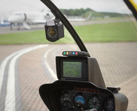
The RockAIR is designed as a carry on, carry off unit, able to quickly mount onto the dashboard or windshield of light aircraft and road vehicles. It also provides reliable tracking data every 15 seconds which can easily be interpreted by the TracPlus platform.
“Collaborating on the RockAIR, meant we could use all of our customer and industry insight, to ensure the device was capable of delivering true peace of mind to our customers. Ultimately, we pride ourselves on being able to bring people home safely through seamless tracking and communication. Anywhere. Anytime. To do this, we have strived to engage with industry players so that we are at the forefront of meeting their rapidly changing needs. The RockAIR is a great example of this, and one we’re very proud of.”
Todd O’Hara, CMO, TracPlus
The Result
RockAIR is now fitted for a number of TracPlus’s customers, providing accurate, real time tracking anywhere in the world. With quick access to alerts, messaging, and tracking features, it has everything needed to alert and update rescue teams, should an emergency arise. Enabling customers to remain informed, connected and above all, safe.
Ground Control and TracPlus have worked in partnership for six years, developing essential, cost effective solutions for organizations and their assets, all over the world.
Partner with Ground Control
The work we support genuinely inspires us, and we’re proud to facilitate incredible initiatives worldwide.
A substantial proportion of those initiatives are delivered by our vibrant, creative, partner channel. We’d love to have you join them. If you’re a business looking for a potential partnership get in touch with the team today.
Effortless Cloud-Based Fleet Tracking with v2track
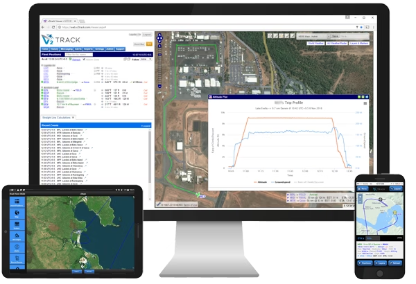
For over 15 years, v2track has delivered affordable, global, high detail flight and fleet tracking, via their powerful cloud-based asset viewing and interaction platform. v2track manufactures its own tracking device, and have also integrated their ‘Viewer’ software with Ground Control’s RockAIR, RockSTAR and RockFLEET tracking devices.
A complete solution for fleet tracking
Ground Control’s RockAIR and RockFLEET devices are very similar devices; both offer dual-mode cellular and satellite tracking capabilities, leveraging the global Iridium network, so that no matter where your asset goes, you will be able to see their location in real time.
Both provide text-based communication, so pilots and drivers can keep in touch with their base of operations. The RockAIR is designed to be carry on / carry off, with a battery that will last up to two weeks, whereas the RockFLEET is designed to be installed; either can be used on air, on land, or at sea.
What V2Track brings to the party is their advanced software platform, which has been designed by aviators, for aviators, and works extremely well for land-based fleet operations too.
Introducing V2Track’s Viewer platform
As the Viewer is cloud-based, there’s no need to download any programmes or install updates; when you log in via your desktop, tablet or mobile, you’ll be using the most up to date version of the software. Using the View you can monitor all of your aircraft, vehicles and assets in real-time. It retains the history of every trip / session for future retrieval.
- Customizable, automatic SMS, email and website alerts, e.g. speeding alerts, out of hours use, movement in and out of predefined areas
- Flight following alerts: proximity and non-reporting
- EFB functions
- Flight manifests
- Electronic checklists
- Daily history, playback and reports
When you combine the tracking and communication capabilities of the RockAIR, RockSTAR and RockFLEET devices with V2Track’s innovative and constantly improved software solution, you have an end-to-end solution for fleet tracking, anywhere in the world.
“We wanted to offer our customers a choice of hardware for their tracking and communication needs, and chose to integrate with Ground Control because of their justified reputation for reliability, and the ease of integration with our software. They make it very easy for us to work with them, and in turn, our customers get a very competitively priced and powerful fleet tracking and communication solution.”
Kylan Diprose, Director, v2track
Like to know more?
If you’re interested in V2Track’s fleet tracking and communications solution, or you have your own tracking software and want to explore integration options with Ground Control’s satellite tracking devices, we’d love to hear from you.
Call or email us, or complete the form, and one of our experienced team will be happy to help.
Simple, Portable Internet in Major Disaster Zones
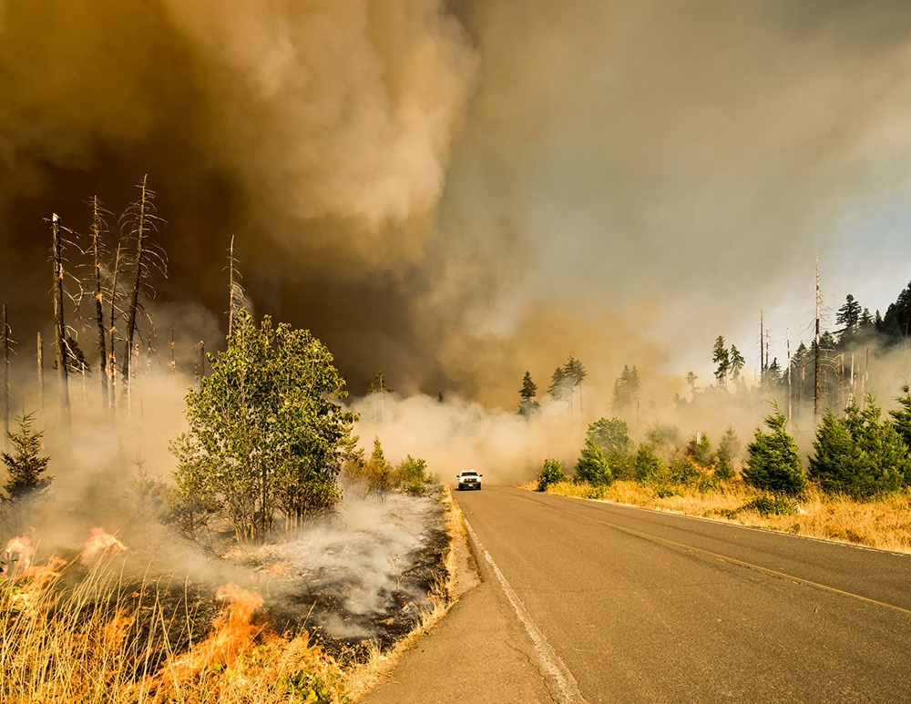
Extreme weather-related disasters are increasing
A report by the United Nations Office for Disaster Risk Reduction (UNISDR) shows that over the last 20 years, 90 percent of major disasters have been caused by extreme weather-related events. Furthermore, MarketWatch reports that in a ranking of the countries hit by the highest number of weather-related disasters, the U.S. comes in first place – with 472 disasters occurring over the past 20 years.
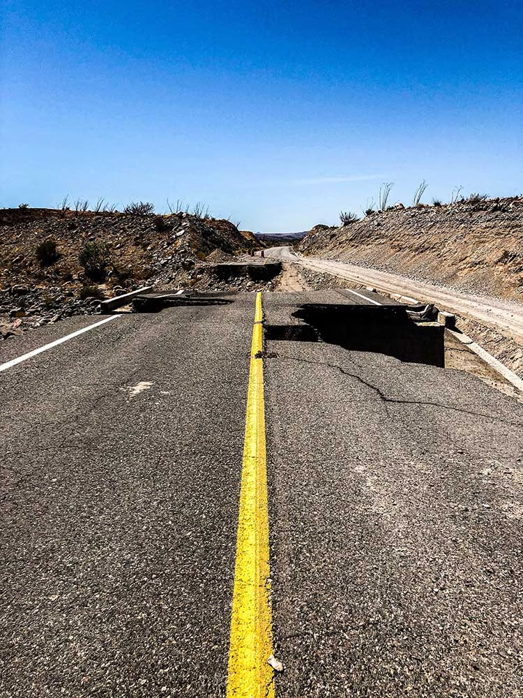
Power outages are common in flood, earthquake, hurricane and fire hit areas. These outages can cause hourly, daily, and even weeks-long disruption to communications, transportation and food and water spoilage. It can also prevent the use of essential medical devices and be the cause of closure of grocery stores, banks and gas stations. The impact on the economy and day-to-day life can be tremendous.
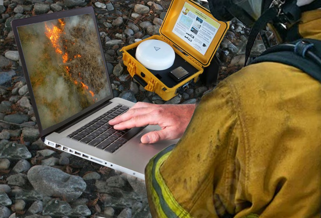
For disaster response crews and personnel, internet connectivity to coordinate relief efforts and track locations and monitor media coverage are just a few key reasons why a portable internet solution should be an essential part of their kit.
Why Is Portable Internet So Essential?
- Poor mapping and GPS services: Ensuring visibility and access to data regarding property and ownership – known as GIS data – is essential. Access to MSDS sheets will also provide potentially life-saving information on material safety.
- No personnel and equipment tracking: With no internet to track the real-time location of personnel, equipment and assets, including emergency vehicles and helicopters, valuable time and even lives can be lost.
- Inability to monitor news and media: Without internet connectivity, teams cannot stream media reports and news in real-time to obtain a No documents and recordscomplete 360-degree view of disaster and first response information.
- No documents and records: Wildfires, for example, spread fast. Remote connectivity can enable drone live stream video, providing real-time information to those on the ground.
Rapid Deployment Connectivity With Viasat Go-anywhere Pro
Viasat Go-anywhere Pro (BGAN) services provide dependable satellite connectivity in locations where terrestrial networks are unavailable, damaged or overloaded. They are well suited to emergency response, disaster recovery, remote operations and temporary field deployments, creating a Wi-Fi hotspot that can connect laptops, smartphones and other wireless devices within minutes.
Depending on the terminal and deployment configuration, users can also connect equipment through Ethernet and support voice communications using a standard analog phone. Portable systems may be powered from internal batteries, vehicle supplies, external batteries or solar panels, giving teams flexibility when fixed infrastructure is unavailable.
Ruggedized, auto-pointing terminals are designed for rapid operation in demanding environments on land or at sea. Enclosed systems can provide weather-resistant communications through heavy rain, ice and harsh field conditions, while automatically acquiring the satellite network to reduce setup time and specialist training requirements.
Ground Control supports a range of Viasat Go-anywhere Pro terminals, airtime services and deployment options. We can help identify the most appropriate current solution for your coverage, portability, power and data requirements.
Like to know more?
With over 40 years of combined knowledge of satellite experience, the Ground Control team is well placed to help keep you connected when it matters the most.
With complete satellite connectivity solutions for any situation and application, we’ve got you covered. Complete the form or email hello@groundcontrol.com and we’ll respond within one working day.
The Challenge for Aviators
Aircraft are often fitted with a number of features which have safety and rescue in mind. These can range from, but aren’t limited to, phones, GPS, trackers, emergency controls, and even tools as simple as a flare gun.
While an aircraft may be kitted out with phones and other communication devices, flight routes are often out of GSM range so cannot guarantee signal. Reliable transmission of location on a regular basis is essential though, should the worst happen.
What’s more, in an emergency situation, pilots need a quick and simple system to fire out an SOS – from messaging to accurate position information – in order to get the life-saving help they need as soon as possible.
The Sam Rutherford Rescue
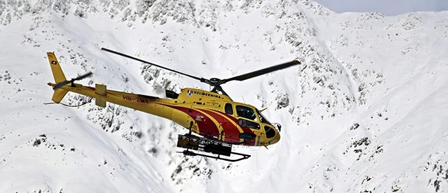
In May 2019, Sam Rutherford and co-pilot Alan Simpson were ferrying a Piper Malibu propeller aircraft from West Virginia in the USA to Britain.
Unfortunately, they were caught in blizzard-like conditions near Makkovik, Canada, and the plane came down leaving the pilots hurt and stranded on a mountainside. While Simpson was unconscious and later sadly died of his injuries, Rutherford was able to use his tracker to send an SOS back to his wife in Belgium to send for help, which also tracked their position for the rescue team.
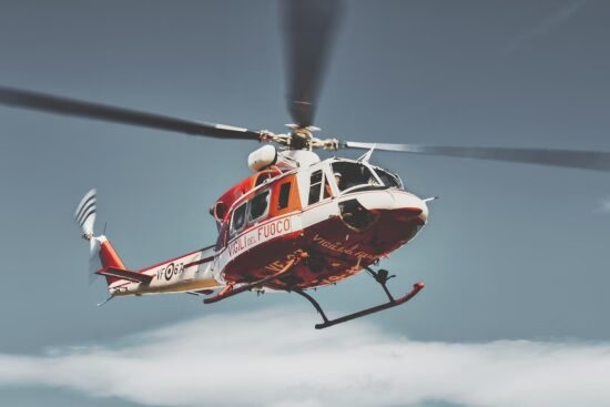
It took a nine-man team and a few weather-related setbacks to take on the Herculean task of rescuing the men. Rutherford acknowledges the RockSTAR – satellite tracking device, was a big contributor in saving his life that day.
“Within an hour, an hour and a half, I was getting messages [across]. From a morale point of view that was a total game-changer.”
Sam Rutherford, Pilot
Built with Ground Control
Our devices help deliver peace of mind to aviators, pilots and passengers everywhere and anywhere.
If you’re interested in learning more about the RockSTAR, RockAIR, or any satellite tracking device, or similarly have a communication challenge in the sky you’d like some advice on, simply fill in the form and one of our expert team will contact you.