28 Years
Longest Customer Tenure
We deliver seamless communication and control for high value assets in remote environments.
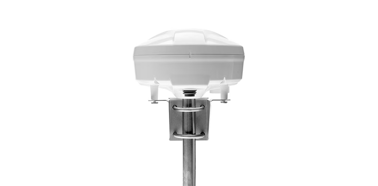
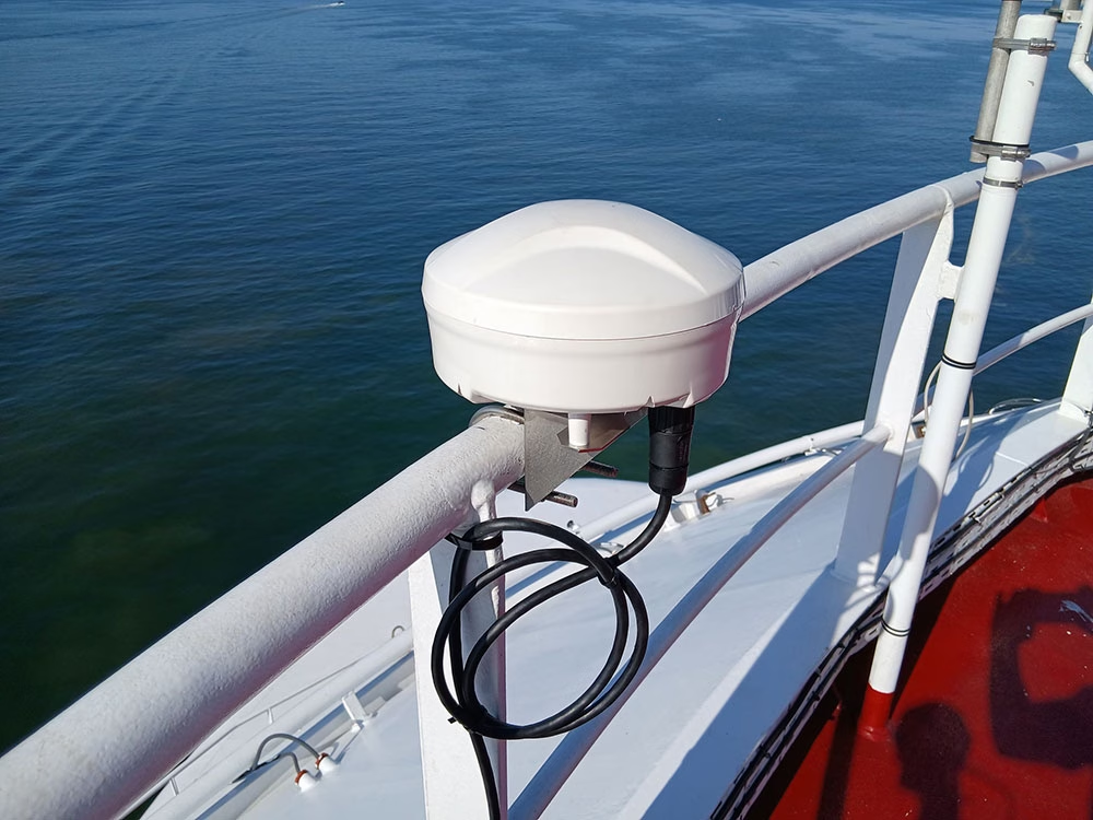
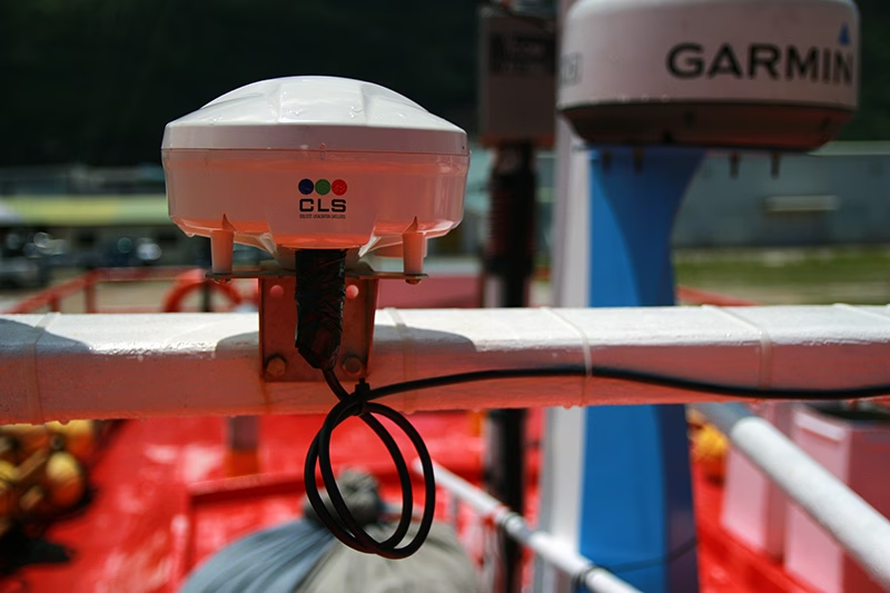
Alternative navigation and timing that never relies on GNSS alone. RockFLEET Assured continuously compares GNSS with an independent Iridium PNT reference, helping crews identify interference and maintain confidence in vessel position.
Ground Control designs and builds satellite IoT and tracking technology that helps people connect, monitor and manage things in places terrestrial networks can’t reach. Our UK-manufactured hardware is used by customers around the world to support everything from environmental monitoring and infrastructure management to safer, more sustainable operations. Behind it all is an engineering-led team that’s practical, approachable, and always ready to help solve a difficult connectivity challenge.
28 Years
Longest Customer Tenure
4,500
Customers in 130 Countries
205,000
Devices in Active Use
Connected Across Leading Satellite Networks
We start by understanding what your application needs in the real world. That includes where your assets are, whether they move, how much data you need to send, how secure it needs to be, what power is available, and how quickly that data needs to arrive.
These details matter early, because they shape the constraints of the job, and help define what a workable solution looks like from day one.
View Our Full IoT Tech Stack
Once that’s clear, we design the right gateway and communications path. That can include sensor connectivity, edge processing, and the satellite link itself. Because we work across multiple satellite networks, we can choose the mix of throughput, latency, coverage, and cost that fits the job.
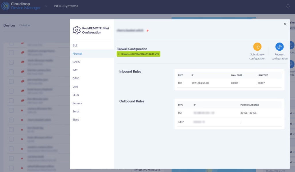
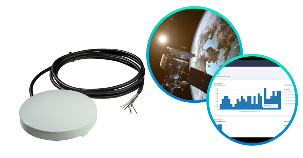
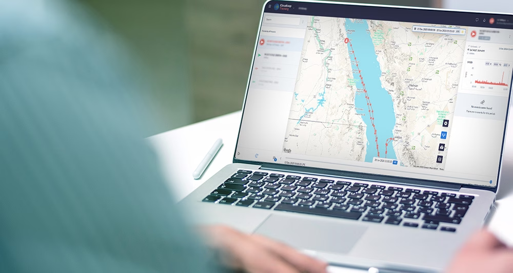
Cloudloop is the layer that brings devices, subscriptions, and data together. It gives customers clear control over deployments and a straightforward way to route data into the systems they already use. Access is available through a simplified, well-documented API, making integration easier.
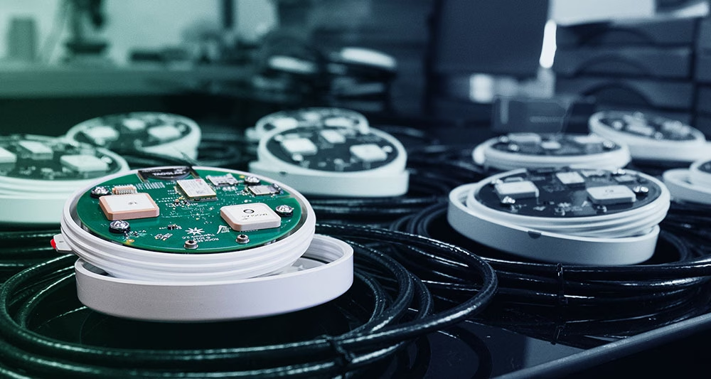
Ground Control keeps remote environmental sensors online in places other networks can’t reach. From water level gauges and flood monitoring stations to data buoys and coastal cameras, we provide low power satellite IoT and mixed satellite / cellular links that slip easily into your own hardware.
You get a simple, robust path from sensor or logger to cloud, so manufacturers can ship connected products, and operators can keep critical sites visible without constant site visits.
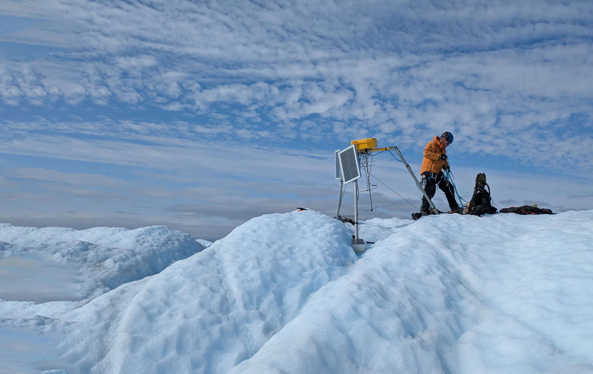
For research teams and government agencies, we turn hostile, off-grid locations into routine data points, streaming measurements for flood risk, water quality, soil moisture and even iceberg and sea ice movement in near real time.
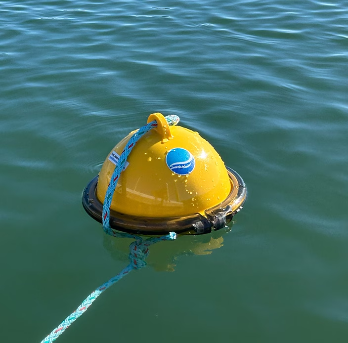
Blue Ocean Gear’s satellite-connected buoys help crews locate lost or displaced gear at sea, cutting replacement costs while reducing the risk of abandoned traps continuing to harm marine life.
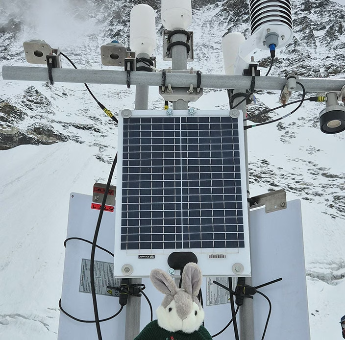
Satellite connectivity is helping scientists monitor the Khumbu Glacier in near real time, sending environmental data from more than 6,500 m above sea level without repeated visits to the site.
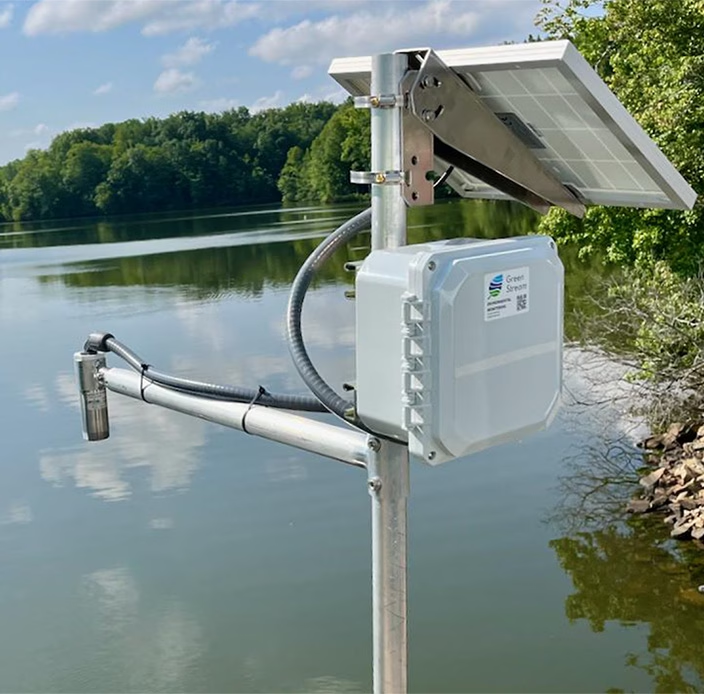
Green Stream Technologies uses cellular and Iridium connectivity to keep critical flood monitoring data moving from remote and high risk locations, even when severe weather disrupts terrestrial networks.
Ground Control keeps critical assets connected and visible across utilities, renewables, oil and gas, mining and infrastructure. From substations and pump stations to wind farms, pipelines and remote industrial sites, our rugged satellite and cellular solutions keep sensors, meters, RTUs and field teams connected beyond terrestrial coverage.
Cloudloop brings devices, airtime and data together, helping operators reduce site visits, respond faster to faults and maintain a clearer view of remote operations.
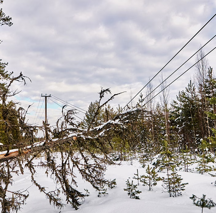
A Brazilian utility uses satellite backhaul to maintain reliable communication with remote reclosers, improving SCADA visibility, simplifying deployment, and keeping critical control links independent of local terrestrial networks.
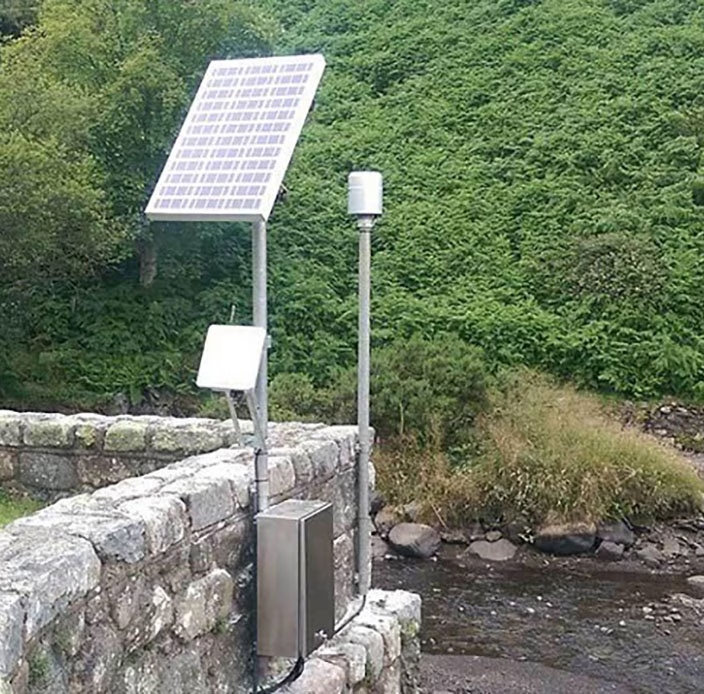
Satellite connected hydrology stations give RWE accurate data from remote mountain catchments, helping it respond to changing water levels, reduce waste and generate more hydroelectric power.
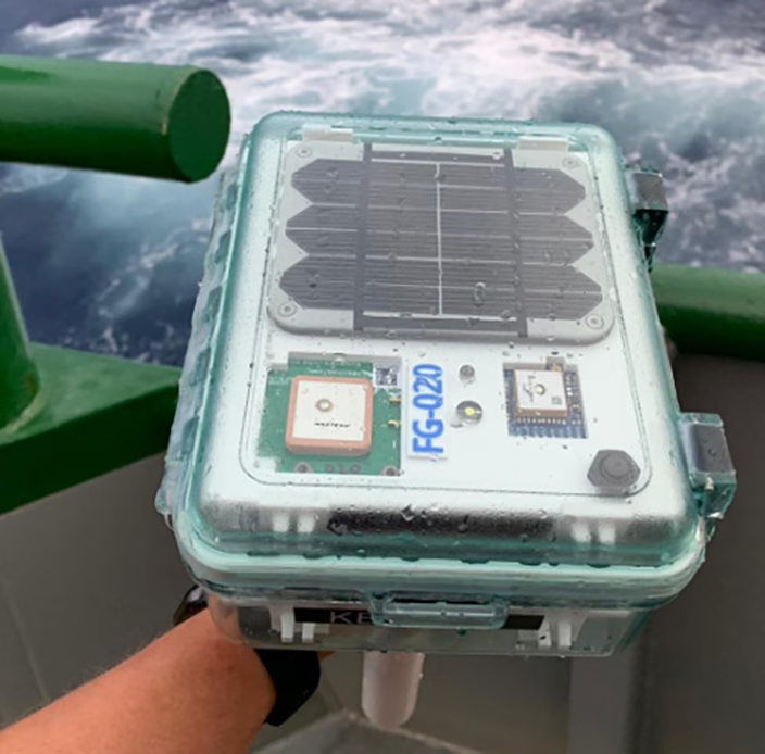
40Geo’s satellite-connected drifting buoys collect ocean and weather data from remote offshore areas, helping oil and gas operators make better informed decisions about where and when to develop new sites.
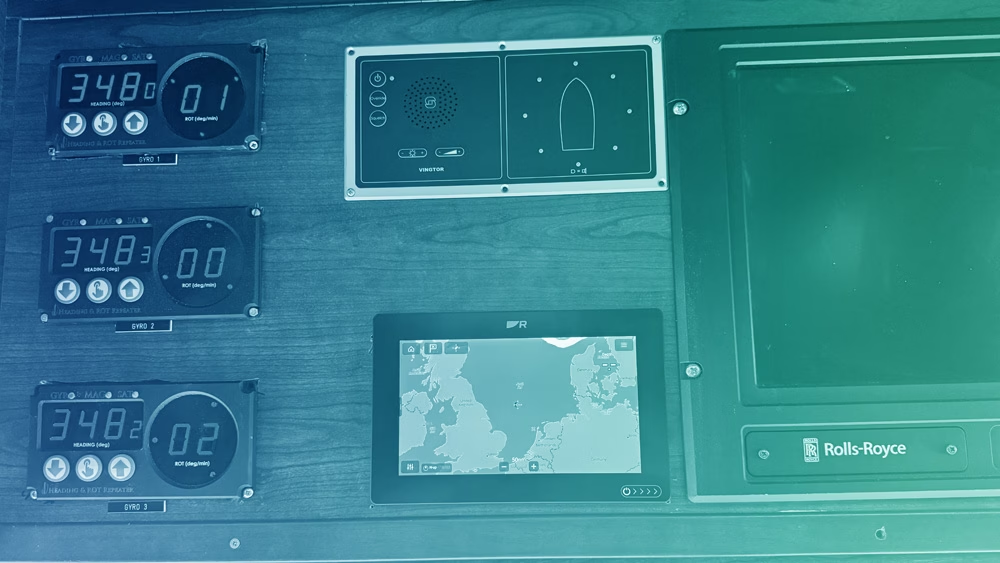
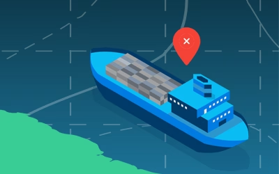
Ground Control delivers resilient connectivity and positioning solutions tailored to the maritime sector. From small fishing vessels needing trusted tracking for regulatory compliance, to coastguard and patrol fleets that rely on precise situational awareness, our vessel tracking services provide secure, real time visibility wherever you operate.
For merchant shipping, our Assured PNT (Positioning, Navigation and Timing) solutions offer a robust alternative when GPS is jammed, spoofed or otherwise unavailable, ensuring continuity of safe navigation.
Complementing this, our out of band management services keep you connected to critical onboard systems even when your primary satcoms are offline, and allow you to separate IT and OT networks for stronger cyber resilience and operational control.
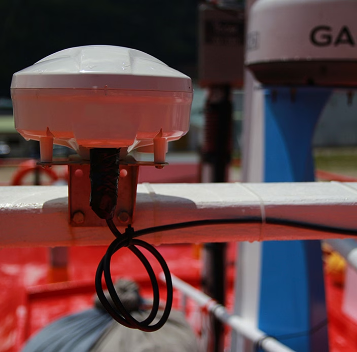
Ambrey has added RockFLEET Assured to its maritime security services, helping commercial vessels validate their position, identify possible GNSS interference and operate with greater confidence in high risk regions.

More than 700 RockFLEET units help fishing vessels across Queensland and New Zealand meet monitoring regulations, with reliable tracking, messaging, SOS alerts, and catch reporting at sea.
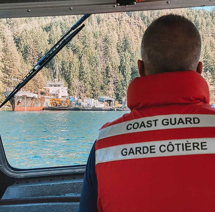
Satellite-connected monitoring helps the Canadian Coast Guard track hazardous vessels remotely, respond quickly to changes, and prioritize those posing the greatest risk to navigation and the environment.
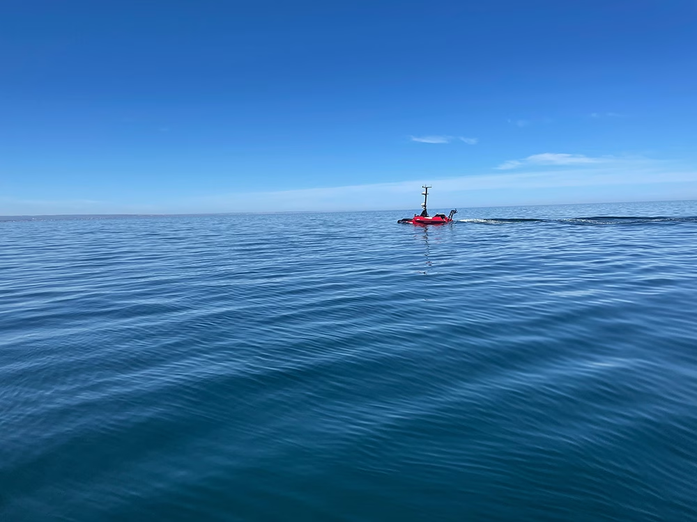
Ground Control keeps drones, USVs and other autonomous systems connected beyond cellular and line of sight coverage. Our compact satellite solutions support tracking, telemetry, command and control, and payload data, with options ranging from low power messaging to real time IP connectivity.
Hardware can be integrated into new or existing platforms, while Cloudloop supports remote device management, diagnostics and data delivery. That helps operators extend missions, reduce dependence on terrestrial networks and maintain visibility of unmanned assets wherever they operate.
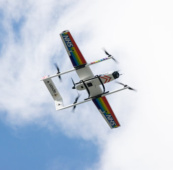
Skylift UAV uses satellite connectivity to keep medical delivery drones in contact beyond cellular coverage, supporting the safe transport of chemotherapy and prescriptions to the Isle of Wight.
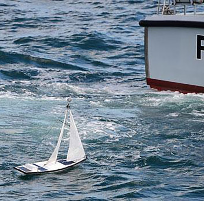
Epsom College students used RockBLOCK satellite connectivity to track an autonomous sailing boat as it took on the Microtransat Challenge: crossing the Atlantic without a crew.
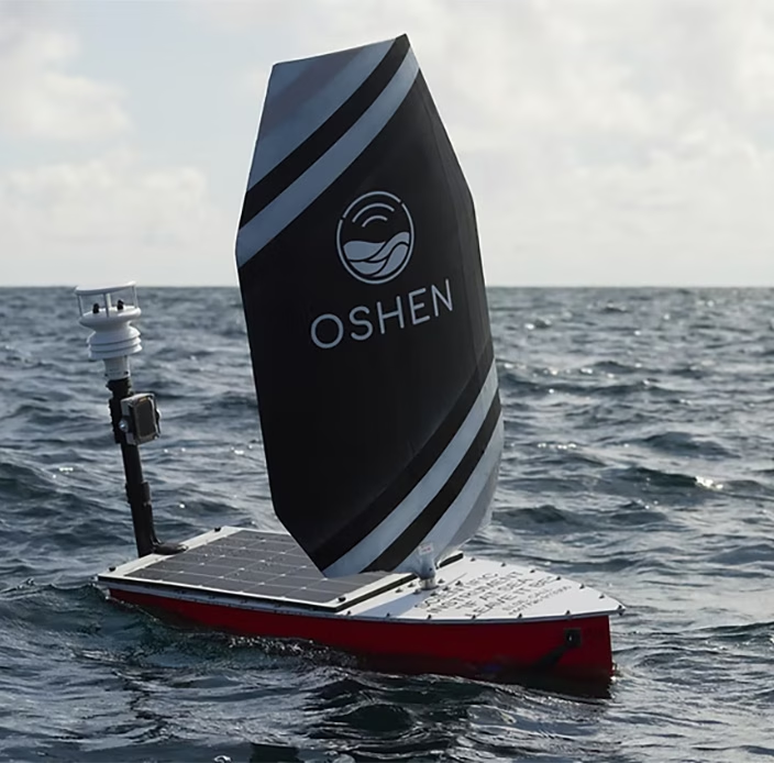
Oshen uses satellite IoT to keep compact USVs connected far offshore, gathering data for weather forecasting, marine research and wildlife monitoring.
With 20 years of experience, we can help you make the best choices for your critical communication infrastructure.
We’re not invested in selling you a specific product or connections, just the best solution for your needs.