Satellite Names and Orbital Locations
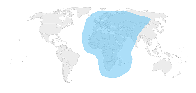
Thuraya-2 Orbital location (above the equator) is 44.0606° East
Thuraya-3 Orbital location (above the equator) is 98.5° East
Note: The Thuraya-3 satellite suffered a sustained Force Majeure event in April 2024 and is no longer providing network services to Australia, Japan and nearby regions.
Thuraya Primary NOC – Network Operations Center
Shajah UAE – 50 Kilometers North-East of Dubai – United Arab Emirates
Co-Location for client equipment at NOC pricing available
MPLS Private Networking available
Excellent In Stormy Weather
Since a Thuraya terminal uses the L-band for reception and transmission (the L-band has a very long wavelength), it is able penetrate through clouds and other atmospheric condition far better than large satellite dishes.

Would you like to know more?
If you’re planning a satellite-enabled project and you’re not sure which satellite constellation will best meet your needs, get in touch! We have 20 years of experience in this field, and we work with leading satellite operators to make sure our customers have the greatest choice.
Either call or email us, or complete the form, and we’ll be happy to help.