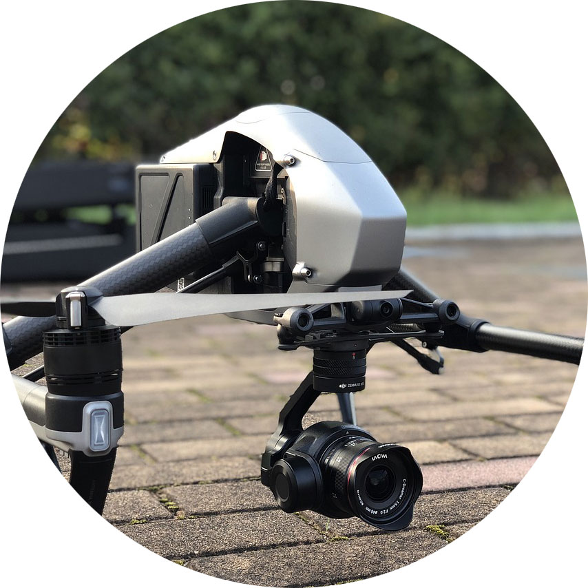
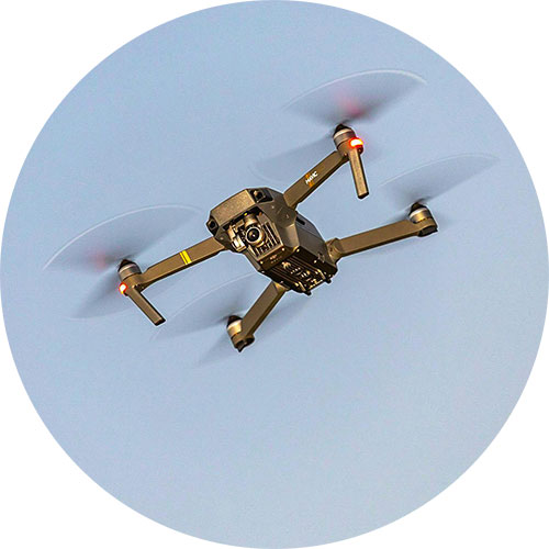
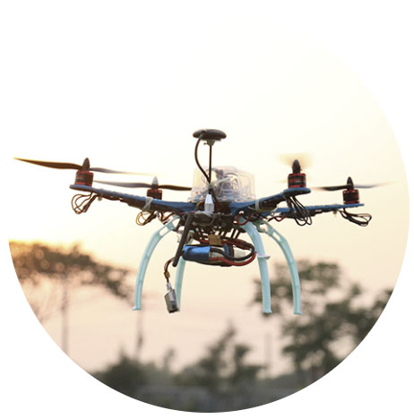
Drones, or Unmanned Aerial Vehicles (UAVs), have become an integral part of modern military operations. Initially developed for reconnaissance and surveillance, drones have evolved into versatile platforms capable of executing various missions, from intelligence gathering to precision strikes. However, the full potential of UAVs is realized when enhanced with satellite connectivity, removing the limitations of traditional line of sight or terrestrial based communication, and enabling real time communication and coordination across vast distances and hostile environments.
While satellite connectivity has enhanced UAV capabilities, the utilization of UAVs in warfare is nothing especially new, and has instead, evolved significantly over the past century. Early concepts of UAVs emerged during World War I, with the development of rudimentary unmanned aircraft such as the “Kettering Bug”, – a drone prototype designed purely for bombing missions. However, these early models were not widely operational.
It wasn’t until World War II that UAV technology saw further development, particularly with the creation of the German V-1 flying bomb – essentially an early form of a cruise missile. The Cold War era spurred advancements in UAVs, primarily for reconnaissance purposes and the U.S. developed drones like the Ryan Firebee, which were used for surveillance during the Vietnam War.
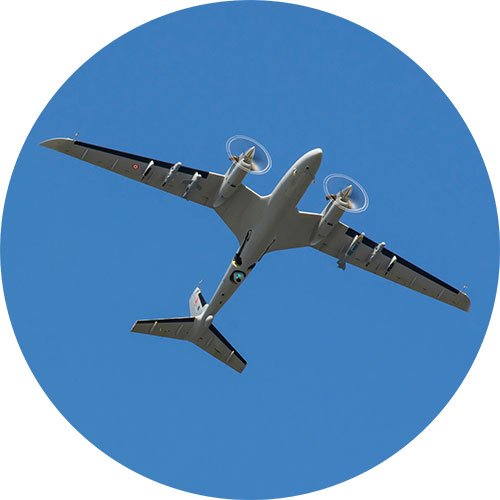
The 1990s marked a turning point in UAV usage, particularly during the Gulf War, when drones like the RQ-2 Pioneer provided critical intelligence. Then in the early 2000s, UAVs like the MQ-1 Predator and MQ-9 Reaper – American remotely piloted aircrafts – gained worldwide attention for their role in counterterrorism operations. Powered by global satellite connectivity, these drones could carry out targeted strikes with high precision, far out of the reach of cellular and telecommunication networks. Step forward into 2024, and the role of UAVs in modern warfare has only continued to advance.
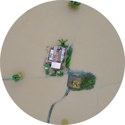
As the roles of UAVs broaden from strike and EW to logistics and ISR, the conversation is increasingly about how they’re used to protect people and infrastructure. Alongside the well known offensive missions, we’re seeing rapid growth in defensive and humanitarian applications enabled by resilient satellite links. Let’s explore some of these key roles in more detail.

Key Roles of UAVs in Modern Warfare
Surveillance and Reconnaissance
Precision Strikes
Search and Rescue
Electronic Warfare
Aid and Supplies
Satellite Devices Best Suited for Military Drone Applications
Satellite connectivity is a reliable, secure means of communicating with UAVs far beyond the reach of terrestrial networks. These devices are our top picks for command and control, piloting BVLOS, and transmitting real time video footage from UAVs, for civil and defensive applications only.
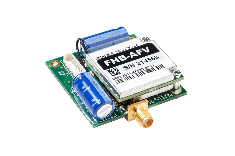
Simple Command and Control with RockBLOCK 9603
Command and control of UAVs requires stable, low latency communication channels.
RockBLOCK 9603 enables basic two way communication over the Iridium satellite network, allowing operators to send flight commands or adjust mission parameters approximately once every 10-15 seconds, regardless of their geographical location.
For example, RockBLOCK 9603 could send positional data, informing operators of any need to make altitude adjustments or course corrections during a mission. This level of sophisticated satellite-enabled C2 is essential for UAVs operating in areas where ground communication networks are compromised or unavailable.
RockBLOCK 9603 is especially suited to applications where space is at a premium. It’s designed to make adding Iridium Short Burst Data (SBD) satellite connectivity super easy.
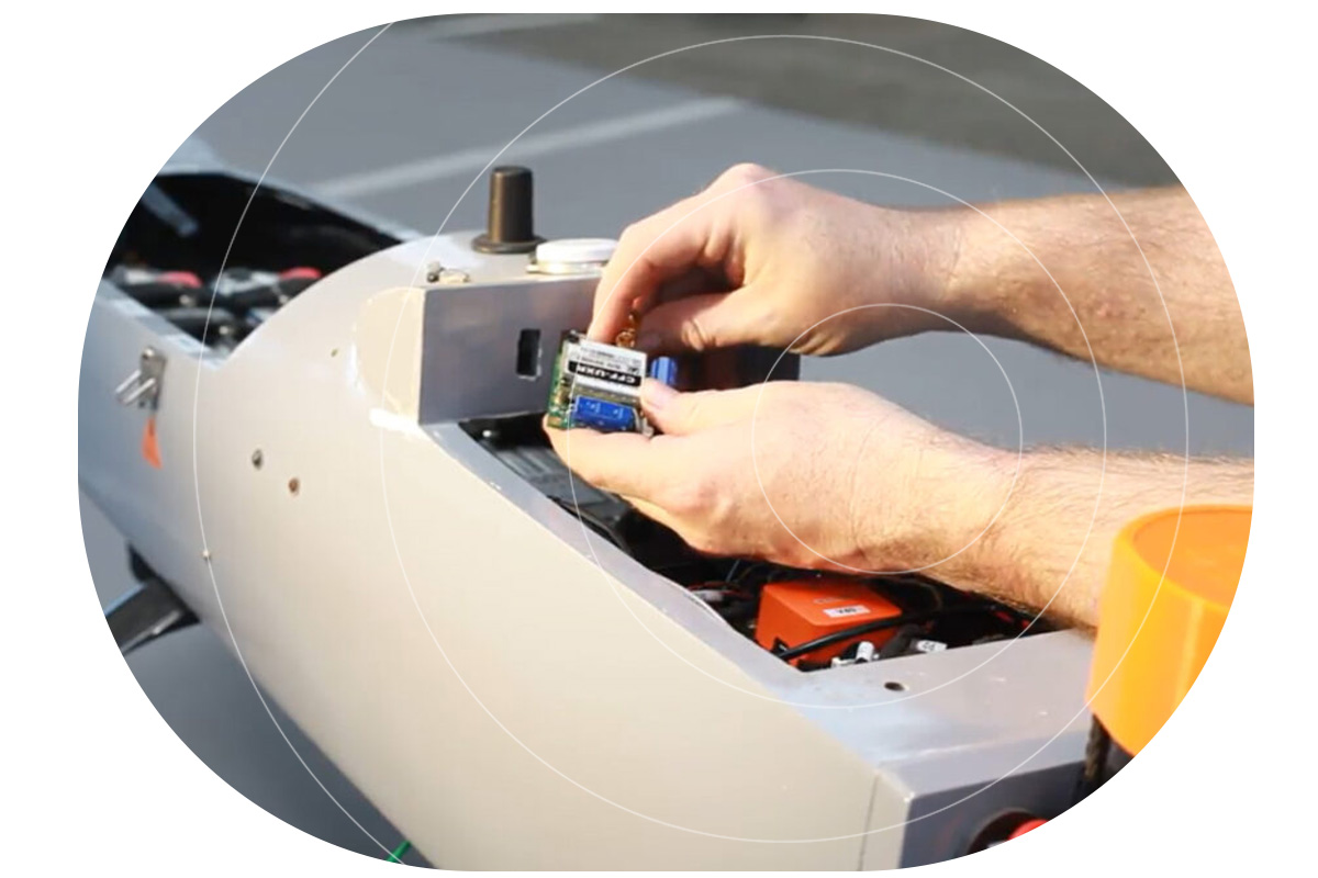
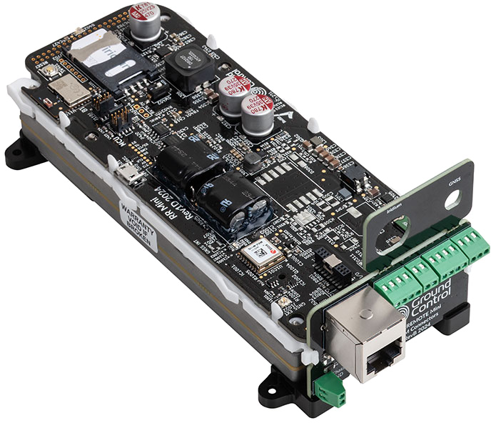
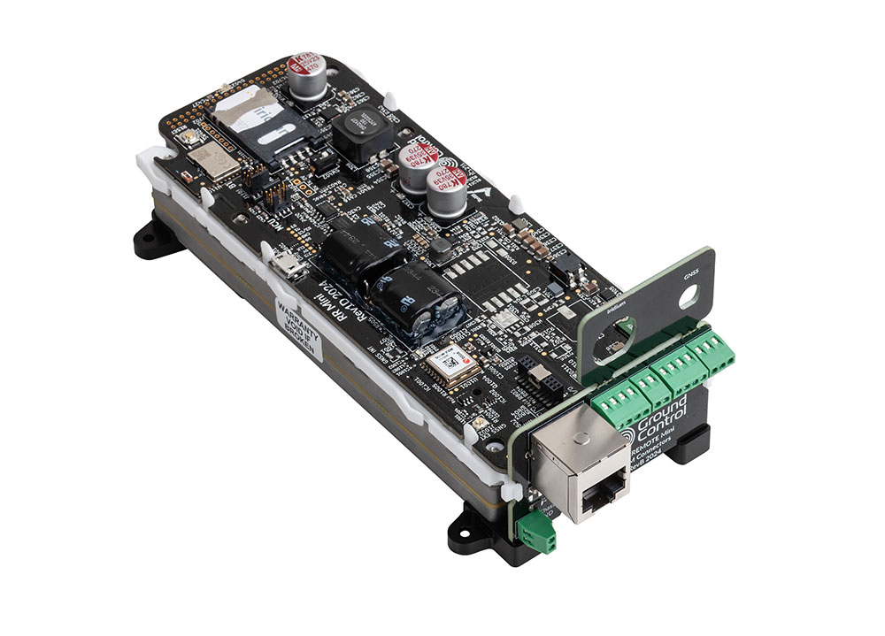
Piloting BVLOS with RockREMOTE Mini OEM
One of the most significant challenges in drone warfare is piloting UAVs beyond visual line of sight (BVLOS) – a necessity for long range missions or operations in hostile areas.
Solutions like the RockREMOTE Mini OEM provide satellite-based connectivity designed for such operations involving on the move assets.
RockREMOTE Mini OEM is lightweight, designed to draw as little power as possible, and harnesses the Iridium Certus 100 satellite network service, delivering virtually real time IP connectivity.
This technology allows for piloting and navigation adjustments, crucial for UAVs conducting missions deep into enemy territory. Furthermore, satellite-based communication ensures the operator maintains constant control over the UAV’s flight path, even when thousands of kilometers away.
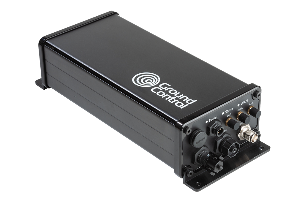
Capturing Real Time Video Footage with RockREMOTE Rugged
Arguably, one of the most critical functions of UAVs in modern warfare is real time video reconnaissance.
RockREMOTE Rugged coupled with Videosoft video compression technology facilitates the transmission of high definition video feeds from drones to ground stations, enabling military forces to monitor enemy activities and gather intelligence without delay. This helps military operators to respond to threats or gather information promptly, enhancing battlefield awareness and operational decision making.
RockREMOTE Rugged does not require antenna pointing, and even with a poor or changing view of the sky, RockREMOTE Rugged can reliably and securely transfer data in close to real time via the Iridium satellite network.
Selecting the Right Satellite-Enabled Solution
RockBLOCK 9603 |
RockREMOTE Mini OEM |
RockREMOTE Rugged |
|
|
Size |
45 x 45 x 15 mm |
175 x 60 x 37 mm |
250 x 97 x 61 mm |
|
Weight |
36 g |
287 g |
1.2 kg |
|
Power |
Max 450mA |
<30mW (sleep), <0.25W (idle), <7.5W (average transmit) |
0W (sleep), 5W (idle), 9W (average transmit) |
|
Satellite Service |
Iridium Short Burst Data (340 bytes ↑ 270 bytes ↓ per message) |
Iridium Certus 100 (22/88 Kbps) + IMT (100 kB per message) |
Iridium Certus 100 (22/88 Kbps) + IMT (100 kB per message) |
|
Interfaces |
Molex PicoBlade 1.25mm pitch |
Ethernet (available on pin out), Serial RS232, RS485, GPIO (2xI, 2xO) |
Ethernet, Wi-Fi, Serial RS232, RS485 |
|
Antenna |
Built in 1621 Mhz tuned patch antenna (or use optional SMA connector for external antenna) |
External - various approved options |
External - various approved options |
|
Hosted Applications |
|
Limited |
Full |
|
Ideal For: |
Simple Commands / Failover Comms |
Piloting BVLOS; Sending Compressed Images |
Transmitting Real-Time Video Footage |
How IoT Satellite Connectivity Enhances UAV Capabilities

Enhanced Data Security
Reduces Risk to Life

Global Coverage
Scalability and Flexibility
Edge AI, BVLOS, and the Next Wave of UAV ISR
UAV use is expanding across military missions, including kinetic applications; however, the fastest day to day gains we see are in defensive ISR and mission support; secure C2 beyond line of sight, wide area monitoring, and comms relay. Expect more drones running AI at the edge to spot “needles in the haystack” (changes on a perimeter, vessels of interest, wildfire flare-ups) before sending only the useful bits over constrained links, cutting bandwidth while speeding decisions. That’s already a theme in ISR tooling and video workflows.
Connectivity will remain the backbone. Iridium-powered BVLOS links, facilitated by devices like the RockREMOTE Mini OEM, are being adopted to extend C2 and push telemetry/video from places cellular can’t reach, central to safe separation concepts and multi-aircraft operations.
Swarm and multi-UAV teaming are also trending for search & rescue, disaster assessment, and wide area reconnaissance, using multiple small platforms to map faster, hand off targets, and maintain comms. Agencies are likewise exploring comms-relay roles so one asset can keep others connected in difficult terrain.
Looking ahead, one area we’re excited about is humanitarian demining. Drones can scan from above, use onboard AI to flag likely contamination, and then alert clearance teams over satcom. As those edge models improve, triage gets quicker and tasking more precise.
In short, whether it’s low rate C2, BVLOS piloting, or near-real time ISR video, pairing UAVs with reliable satellite links is unlocking new defensive capabilities, and doing it in ways that help reduce risk to people on the ground.

Can we help?
Working on UAV command and control, BVLOS piloting, or real time ISR video?
We can help you choose and integrate the right Iridium-powered solution, from RockBLOCK for simple C2 to RockREMOTE for IP video, so you get reliable, global connectivity faster. We support civil and defensive applications; tell us about your mission profile and we’ll recommend a build that fits.
Complete the form or email hello@groundcontrol.com and we’ll get back to you within one working day.