A Resilient Alternative to GPS
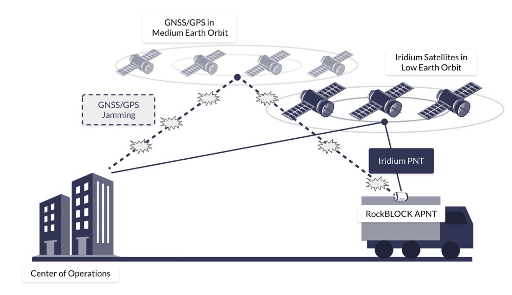
Iridium PNT provides a highly secure and spoof-resistant alternative to traditional GNSS/GPS for acquiring A-PNT data anywhere on Earth.
The Iridium PNT signal delivered from Iridium’s Low Earth Orbit (LEO) satellite constellation is up to 1,000 times stronger than GPS, allowing it to penetrate buildings, and maintain accuracy in environments where GNSS/GPS signals are blocked or degraded.
Iridium’s LEO satellites orbit approximately 25 times closer to Earth than GNSS, ensuring the Iridium PNT service delivers a faster, more reliable signal, in even the most remote locations.
RockBLOCK APNT is currently offered as an evaluation kit for customers assessing APNT performance, integration, and resilience in challenging environments.

Assess Navigation Resilience in GNSS-Challenged Environments
Unmanned systems and land-based platforms face escalating threats from GNSS spoofing and jamming, which can degrade positioning and timing and compromise mission performance. RockBLOCK APNT addresses this challenge by delivering both GNSS and Iridium PNT-derived positions, enabling operators to compare data streams and detect anomalies indicative of GNSS disruption.
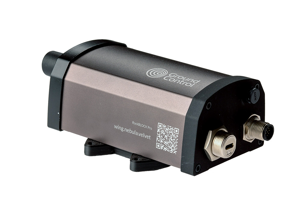
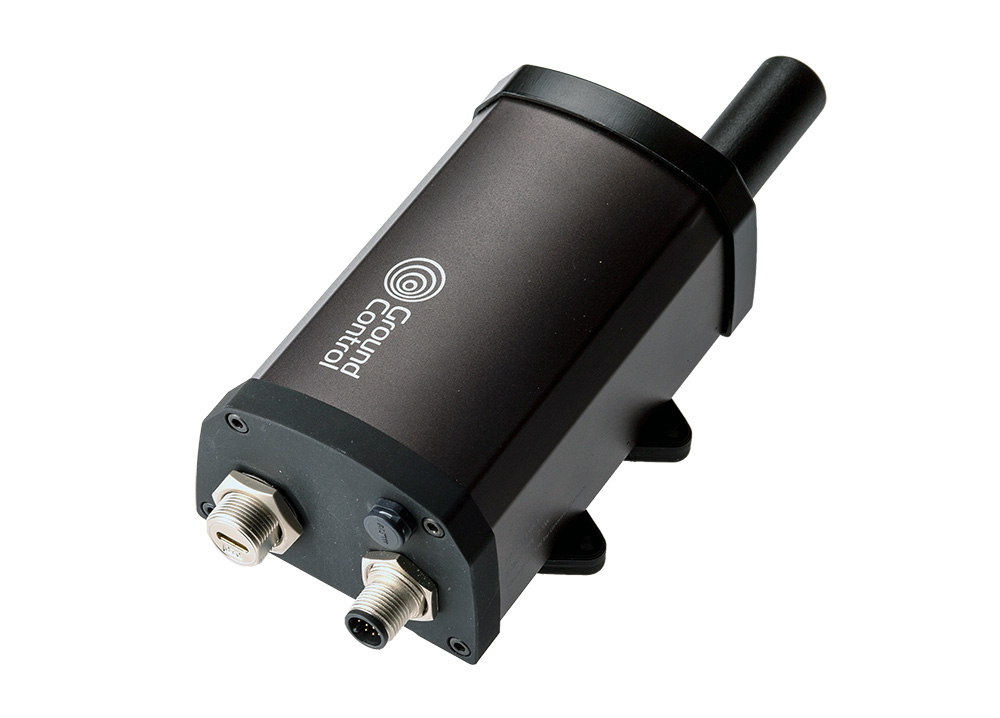
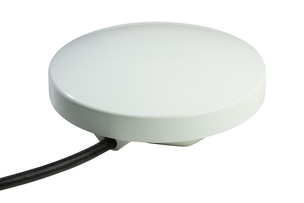
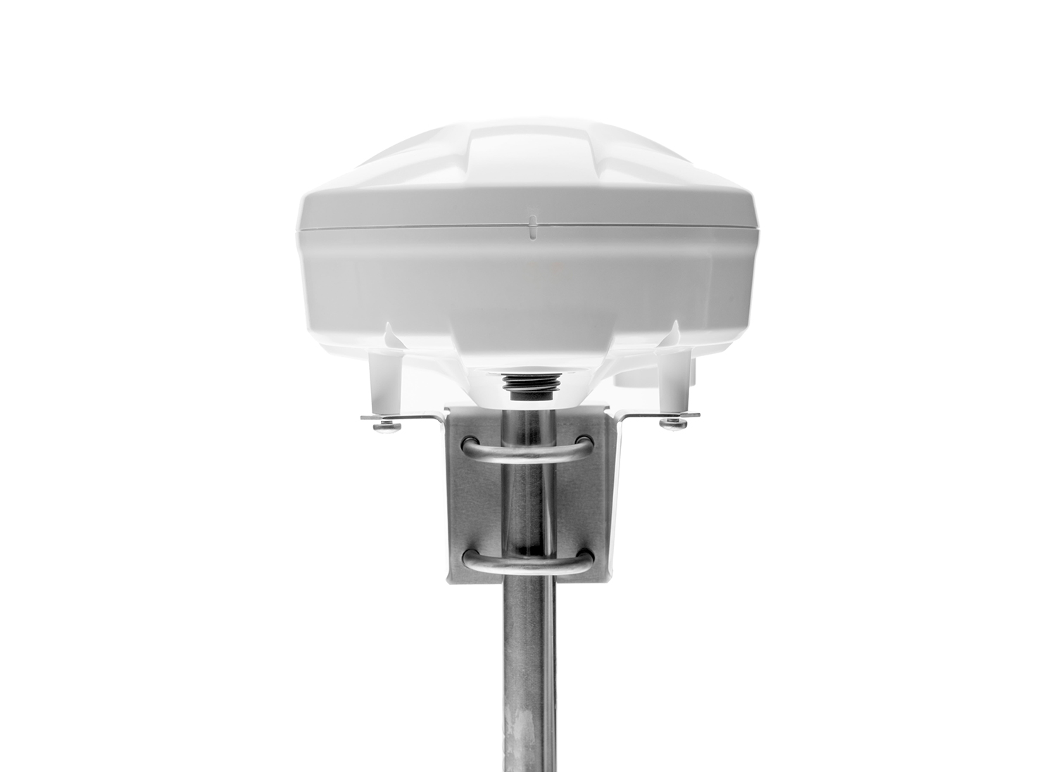
Its compact, IP66-rated aluminum enclosure is built for harsh environments, while low power consumption (<200mW idle) supports remote and power constrained deployments. By combining a rugged form factor with Iridium’s authenticated signals, RockBLOCK APNT helps maintain navigational integrity so vehicles and drones can stay on course even when GNSS is degraded.
In addition to location data, RockBLOCK APNT can send and receive message payloads of up to 100 KB, making it a valuable failover communications resource.
IMPORTANT: This is intended to provide early access information to interested parties during the development process. While we strive to maintain accuracy, any part of the specification or design of these products may change without notice.
- Uses the Iridium PNT service for positioning, with cryptographic techniques resilient to jamming and spoofing
- Provides global satellite messaging, enabling two-way communication anywhere on Earth via the Iridium network
- Offers configurable real-time tracking with position updates ranging from 15 seconds to 24 hours
- Allows for geofencing with customizable alerts when entering or exiting predefined areas*
- Records historical movement logs for mission analysis and after-action reports
- Built with a rugged, military grade design, offering an IP66 waterproof rating
- Designed for low power consumption
- Multiple interfaces for easy integration
- Two SMA antenna ports (A-PNT and IMT) – external antennas required.
- Manages message queuing, retries and any network issues, reducing development complexity
*Coming soon
Physical
- Size: 121 x 75 x 53 mm (188 x 91 x 57 mm inc. antenna / connectors / foot)
- Weight: 400 g (including antenna) / 388 g (SMA version)
- Case: Aluminum enclosure
Environmental
- Ingress Rating: IP66
- Operating Temperature: -40C to +70C, <95% RH
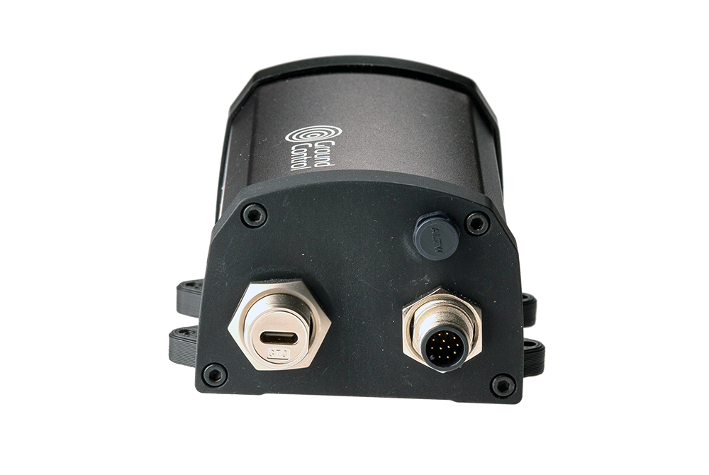
Cable Connections
- Power: 2m 12-core cable or USB-C
- Antenna: External antennas required via 2 × SMA connectors. Cable options from 0.2m to 4m
Location Services
- Iridium PNT
- GNSS: Concurrent reception of 4 GNSS – BeiDou, Galileo, GLONASS, GPS / QZSS
Electrical & Power
- Voltage: 5-30V DC, 5V USB-C
- Power Consumption (Maximum): 2.5W
- Power Consumption (Idle, with APNT active): <1.7W
Communication Interfaces
- Iridium Messaging Transport: 4.8kbps bi-directional messages from 10 to 100,000 bytes. Latency typically < 10s between remote and cloud applications
- Bluetooth: BLE 5.0. App for configuration/status. Future sensor connectivity planned
- Serial: RS485 or RS232. Proprietary serial API & support for legacy 9603 AT commands
- USB-C: Serial port. MSD file system
- Digital GPIO: All 4 channels independently configurable as either 0-10V analog input, open drain digital output or digital input suitable for dry contacts. Connection via 12 way cable assembly


Request more information or schedule a demo
Interested in learning how RockBlock APNT can support your operations in GPS-denied environments?
Get in touch with our team to schedule a demo or request further information. Complete the form or email hello@groundcontrol.com, and we will respond within one working day.