
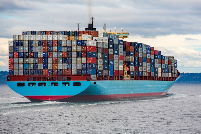
Track Vessels Anywhere At Sea with Satellite Connectivity
Remote Vessel
Monitoring
Monitor vessel performance, fuel usage and engine health in real time, from anywhere. Our solutions integrate with onboard sensors and control systems, enabling early anomaly detection, reducd maintenance costs, and compliance.

Emergency
SOS Readiness
Satellite-enabled connectivity provides a critical communication lifeline at sea. With built-in failover options and rugged marine-rated equipment, our solutions keep critical channels open in the face of storms, blackouts, or equipment failure.
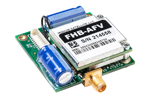
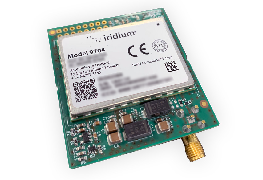
Jamming & Spoofing Resilient Technology
RockFLEET Assured and RockBLOCK APNT utilize the Iridium PNT signal, about 1,000 times stronger than GPS and GNSS. It delivers accurate location data when GPS / GNSS signals are absent or disrupted.
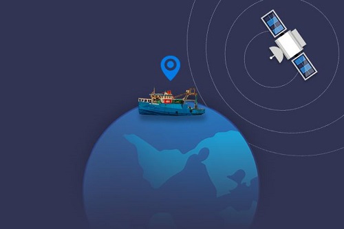
Global, Real-Time
Tracking
Stay connected to your fleet anywhere on Earth with our marine-ready hardware and tracking platform. Our tracking solution delivers real-time position updates, historical route data, and event tracking for complete maritime oversight.
Recommended Devices:
Vessel Tracking & Monitoring
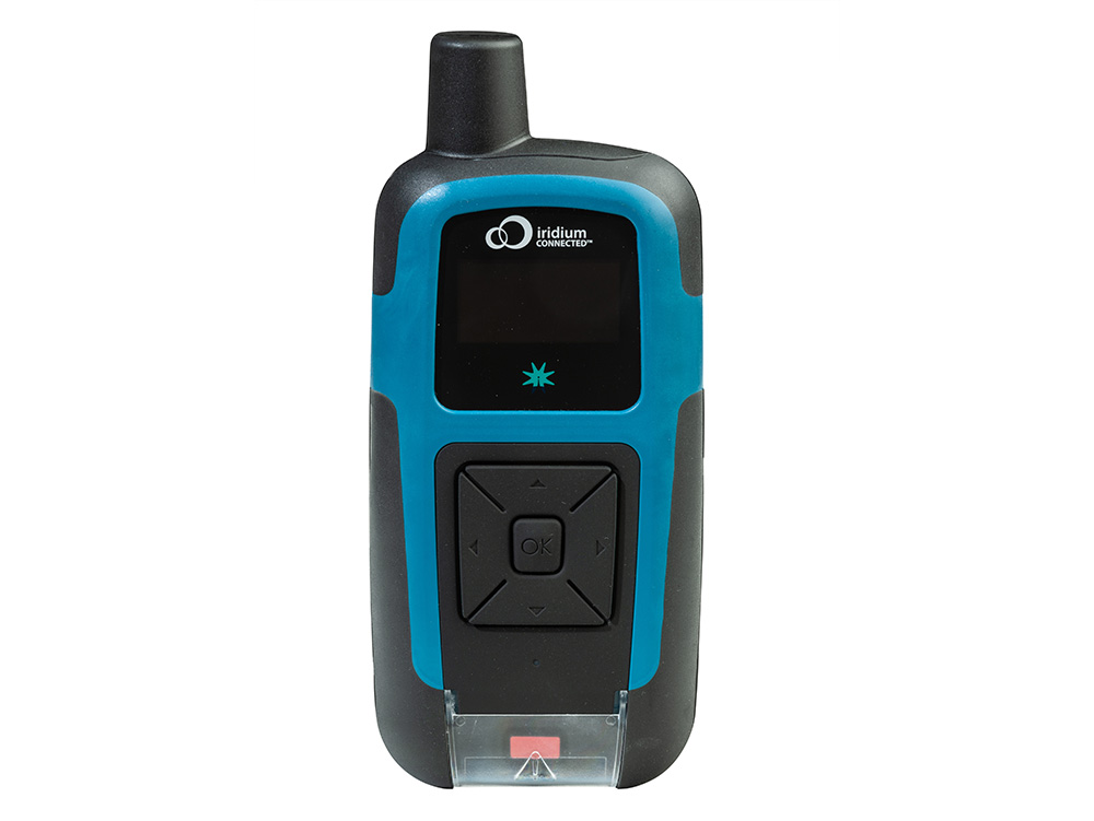
RockSTAR offers similar functionality in a carry on/carry off format.
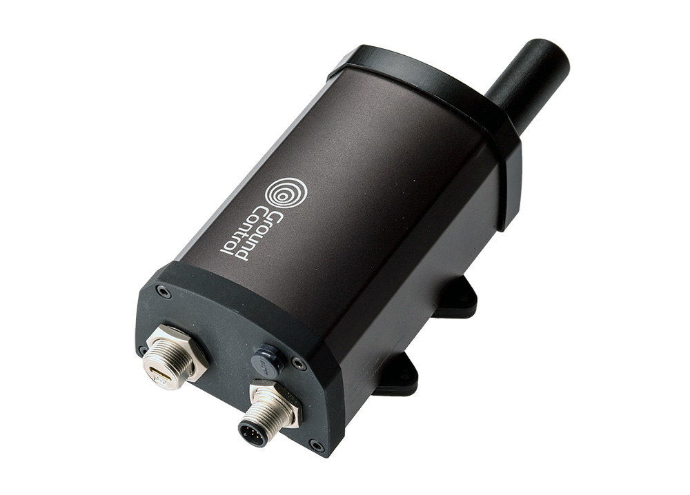
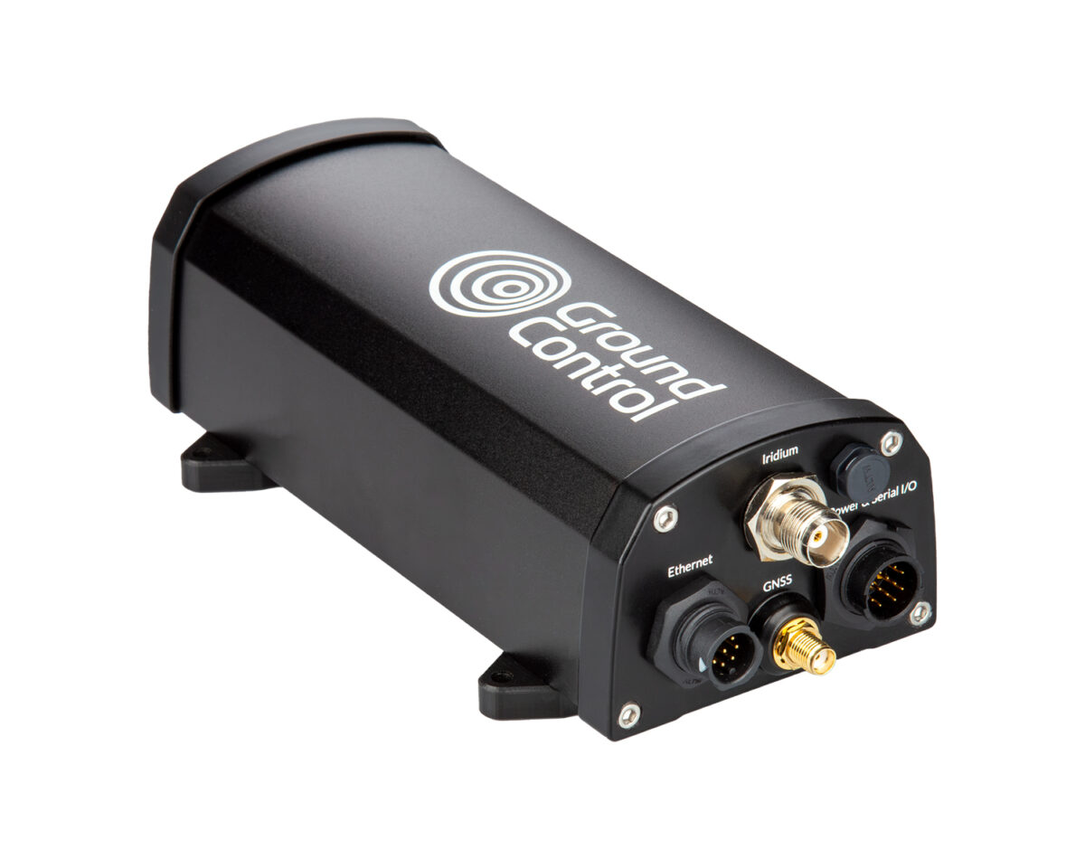
GPS Alternative Tracking
They deliver resilient position data in GPS-denied, jammed, or spoofed environments, supporting trusted position reporting for merchant shipping and maritime operations that can’t afford to lose situational awareness.
Best suited to crude and product tankers, LNG/LPG carriers, major container ships, vehicle carriers, chemical tankers and heavy lift/project cargo vessels that cannot afford to lose trusted position data.
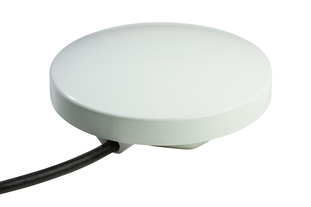
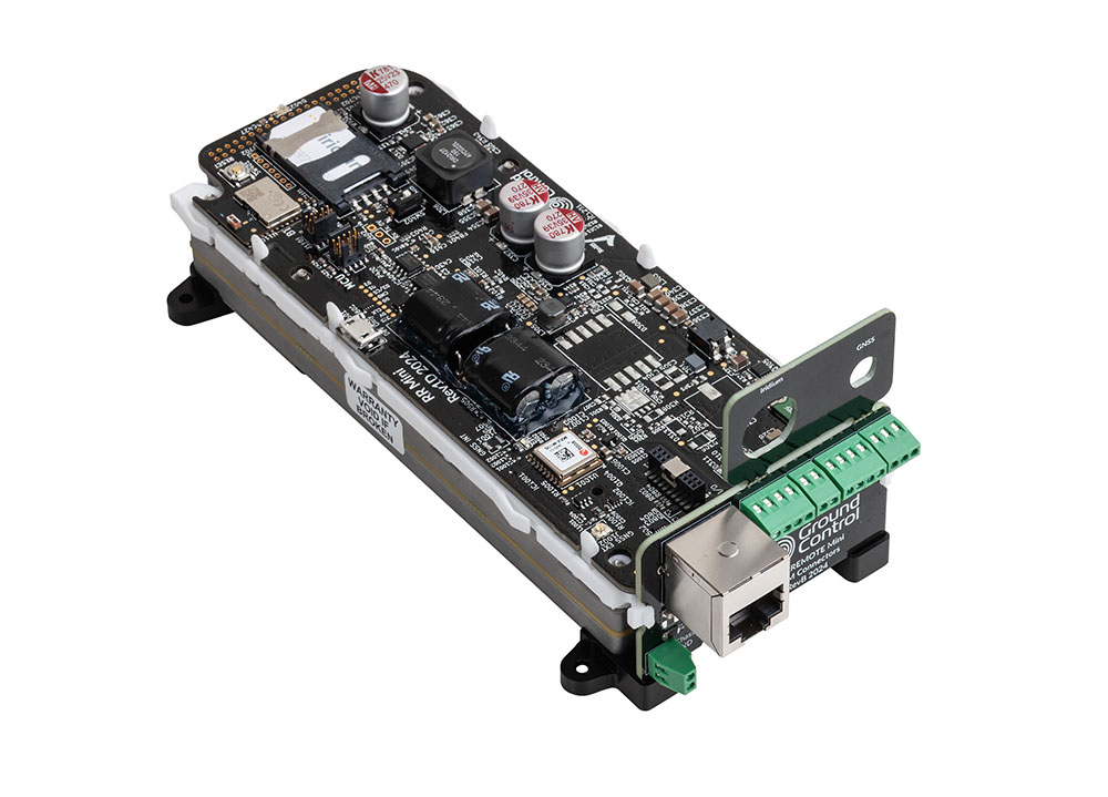
USVs & Data Buoys
If you need to be able to talk in real-time to your vessel, RockREMOTE Mini (and the OEM version) use an IP-based connection, and are ideal for use in unmanned surface vessels.
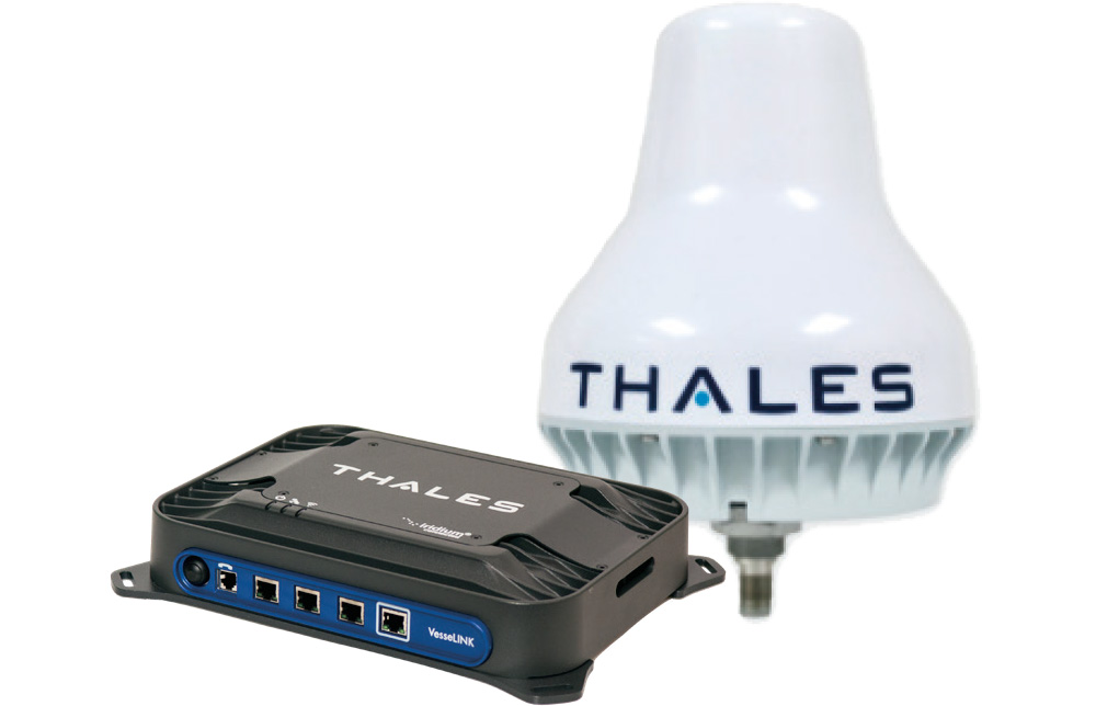
Crew Safety & Communication
The VesseLINK is a great all-rounder for crew communication. It delivers basic voice, internet, and IoT connectivity using the Iridium Certus 200 service.

Who uses Ground Control for Maritime Tracking and Monitoring?
Commercial Shipping
Coast Guard
Border Force
Offshore Energy Support Vessels
Coast Guard
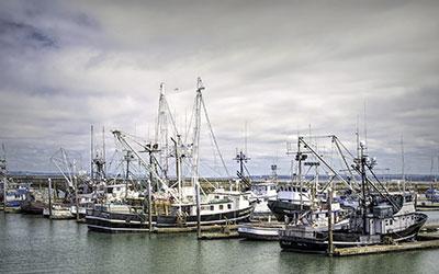
Commercial and Sport Fishing
Yacht Charter
Maritime Satellite Communications in Operation
-
How Iridium PNT Can Transform War Risk Insurance for Merchant Shipping
Why shipowners are paying millions in war-risk premiums for a single voyage, and how Iridium PNT can change the way maritime risk is insured.
Read more -
Tackling Maritime GPS Spoofing and Jamming Threats with RockFLEET Assured
Commercial shipping and maritime operators are at risk of the manipulation of GNSS/GPS primarily by low-cost GPS jammers. RockFLEET Assured offers an jamming resistant solution.
Read more -
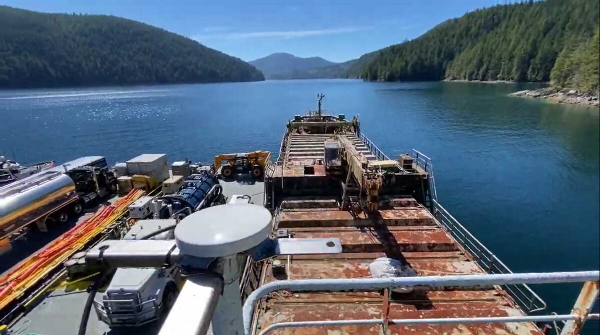
Keeping Canada’s Waterways Clean and Safe with RockBLOCK Plus
2,700 wrecked boats present a hazard for Canada’s pristine marine environment. Incorporated into Barnacle Systems’ Rapid Deploy units, here’s the role satellite IoT plays in the clean-up operation.
Read more -
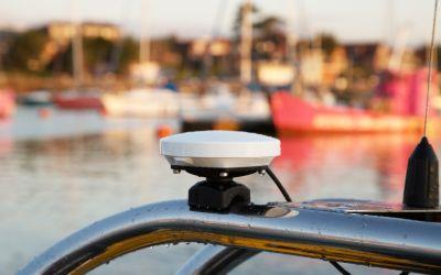
Vessel Tracking
We specialize in hybrid cellular and satellite connectivity to improve your vessel tracking. Manage safety and efficiency through our reliable solutions.
Read more -
M2M Communication for Smaller Vessels
‘Big data’ has become part of the maritime lexicon in recent years. It’s hailed as the answer to achieving operational efficiencies, and is part of the reason that the demand for bandwidth at sea continues to grow.
Read more -
RockFLEET Approved by Queensland for VMS
The proven RockFLEET global tracking and messaging system, manufactured by Ground Control, has been selected as one of four approved devices in a mandated scheme to install a Vessel Monitoring System (VMS) to all commercial fishing boats in Queensland, Australia.
Read more -
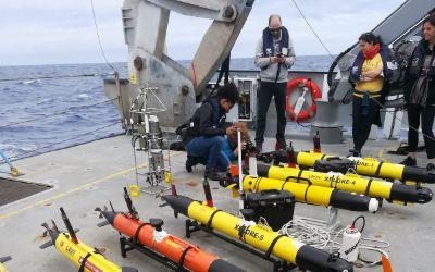
Mapping Ocean Fronts with Robotic Fleets and the RockBLOCK
Led by Dr. João Borges de Sousa of the Laboratório de Sistemas e Tecnologia Subaquática (LSTS) of Portugal, a multinational, multidisciplinary team of scientists have designed, built, and deployed seven autonomous underwater vehicles (AUVs) in the North Pacific Subtropical Ocean Front using the Schmidt Ocean Institute’s research vessel Falkor.
Read more -
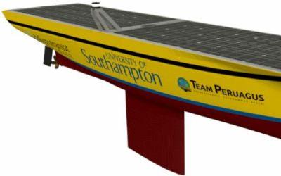
Team Peruagus Uses RockBLOCK to Rule the Waves
Researching how autonomous technology can be applied in the maritime industry, six ship science students from the University of Southampton designed and built the Peruagus, an autonomous solar-powered boat.
Read more -
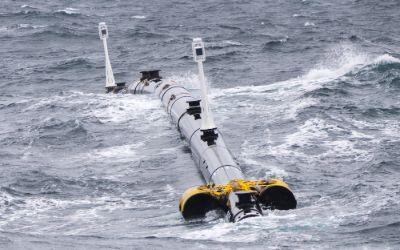
The Ocean Cleanup
The Ocean Cleanup came up with an ingenious, cost-effective system that uses nature to help collect the plastic garbage floating in the ocean.
Read more -
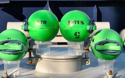
RockBLOCK selected for KTH Sweden Underwater Sensing Buoy
The Royal Institute of Technology of Sweden developed the LoTUS (long-term underwater sensing) buoy, a system for collecting oceanographic data from perhaps the most remote place on the planet – the polar region seafloor.
Read more

Here to help
Whether you have a single boat or a fleet of container ships, we can help ensure that your vessels and your crew remain connected. With teams in the UK and USA, and over 20 years’ experience in delivering maritime satellite communications, we’ve got you covered.
Call or email us, or complete the form to get the conversation started.