Our Services for Forestry Management

Enabling Remote Operations with Satellite Connectivity

Global Coverage
Stay connected to your remote teams and equipment, and monitor sensors in real-time with affordable, reliable satellite connectivity. We develop our own satellite tracking hardware and collaborate with trusted partners to provide the ideal combination of devices and airtime.
Real Time Tracking
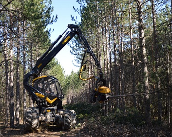
Increase the efficiency of your forestry operations with real-time people and asset tracking, allowing forest harvesters and logging trucks to work in sync and boost productivity. Remotely monitor equipment gauges and sensors to proactively schedule maintenance and avoid costly breakdowns.

Instant Alerts
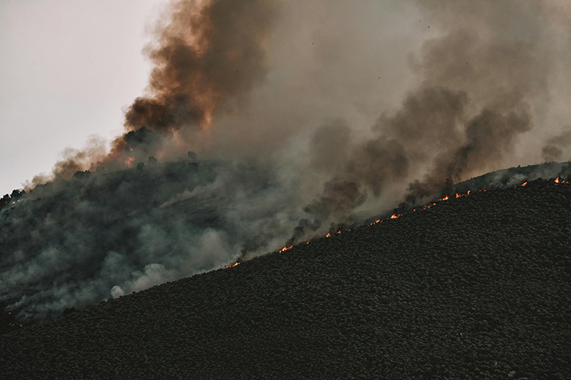
Geofences can detect when forest machinery strays from the designated felling area, helping prevent delays to clearing projects. Alerts from forest sensors can identify early signs of wildfires or illegal logging operations, while video surveillance can help reduce theft from compounds and monitor wildlife near work sites.

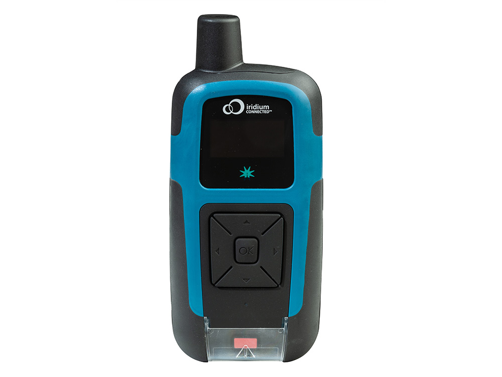
Rugged Tough Devices
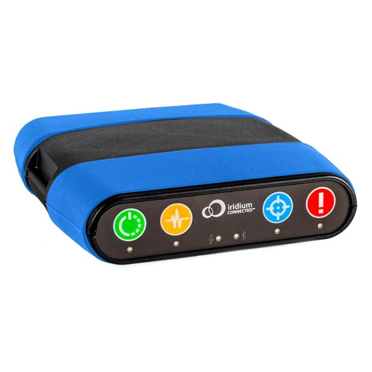
When operating large forestry machinery and using chainsaws in off-the-grid locations, ensuring your team’s safety is paramount. Our ruggedized RockSTAR devices enable two-way text communication, scheduled check-in requests, and one-touch SOS alerts in case of an emergency.
Recommended Devices
Asset Management
The Globalstar SmartOneC is less feature-rich, but rugged tough, discreet and very affordable - ideal for mass deployments.
The Orbcomm ST 6100 tracker uses the Viasat satellite network, is built for harsh conditions and is easy to integrate with vehicle telemetry sensors.

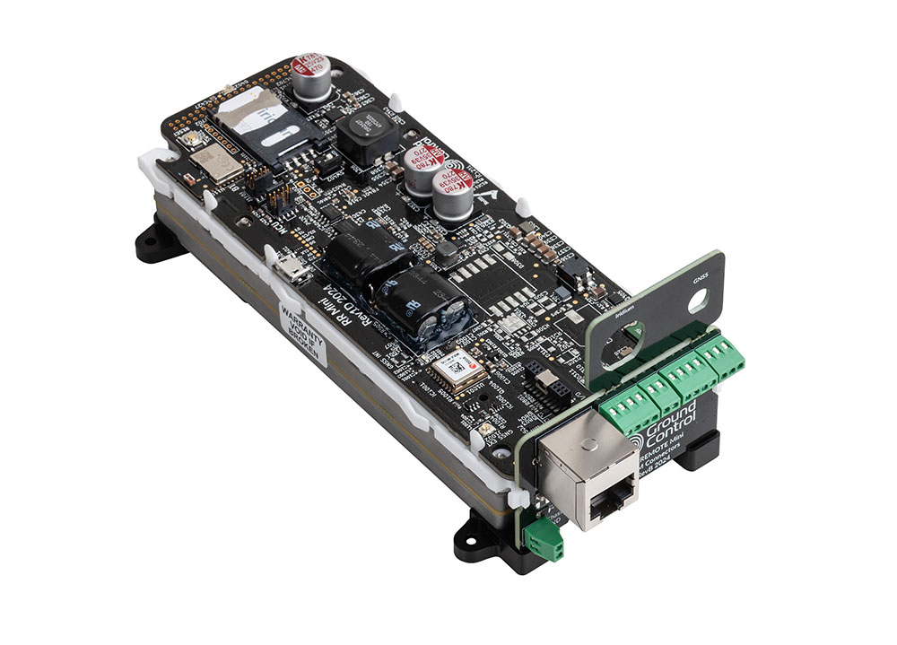
Remote Surveillance
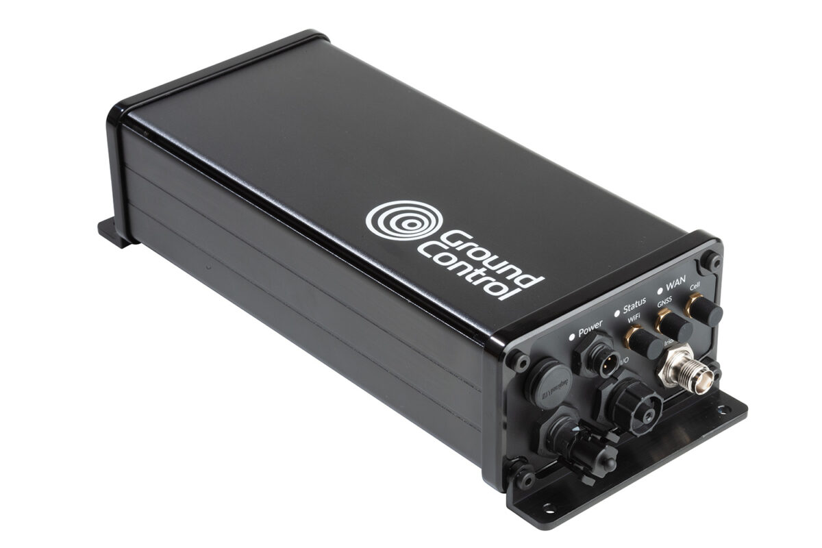
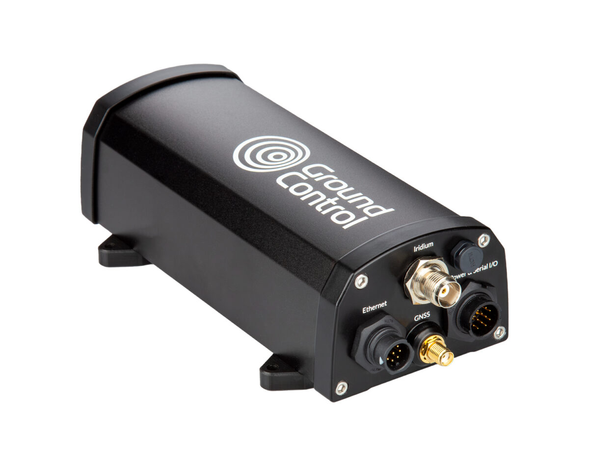
The compact RockREMOTE Mini and Mini OEM can transmit compressed images. The RockREMOTE series utilize the Iridium Certus 100 service.

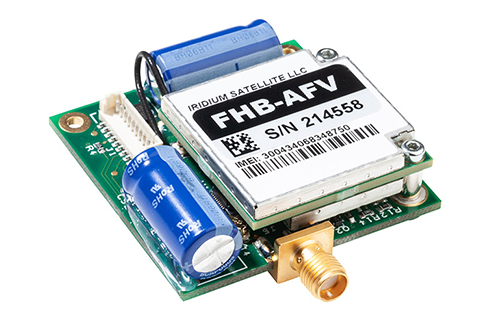
Monitoring Sensors
RockBLOCK 9603 can be incorporated into existing equipment to provide satellite connectivity, or choose the RockBLOCK Plus or RockBLOCK Sense which are designed for harsh conditions with dust and water ingression to IP68.
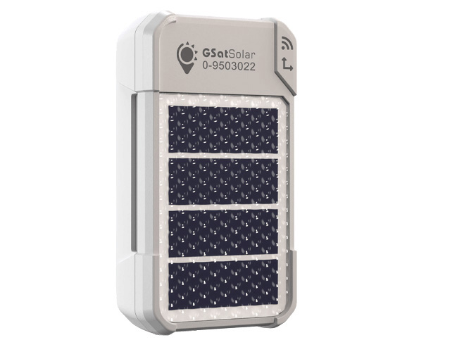
Worker Safety
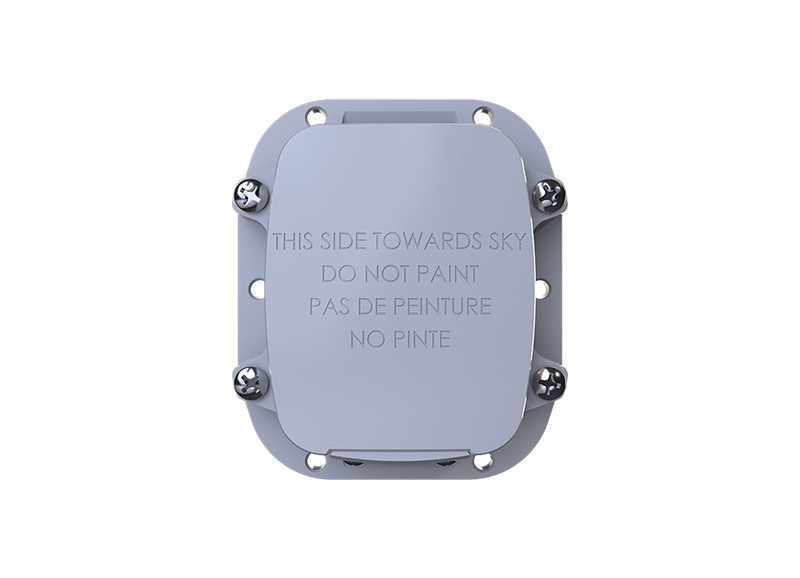
The GSatSolar is the most compact and lightweight tracker we offer and can be easily attached to clothing or kit bags. Solar-powered and built to withstand tough conditions, it can transmit location data continuously for months, even years. Operating on the Globalstar satellite network, it provides reliable coverage across 80% of the planet.

Who Uses Ground Control's Satellite Solutions for Forestry?
Forest Rangers
Operations Manager
Aerial Surveyors
Asset Managers
Aerial Firefighters
Wildlife Conservation
Satellite Solutions for Remote Forestry Management
-
Unleashing Precision Forestry: how Satellites Facilitate Decision-Making and Automation
A lack of connectivity in remote areas is holding Precision Forestry back. This blog highlights how satellites are transforming the industry by enabling real-time data transfer between heavy machinery and controllers.
Read more -
Preventing Illegal Deforestation
The world’s two largest rainforests, the Congo Basin and the Amazon, are under threat from illegal extraction activities. Unfortunately, authorities have long lacked the means and mechanisms to deal with these illegalities which destroy ecosystems and undermine both forest and indigenous people’s livelihoods.
Read more -
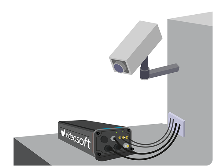
Unlocking Potential With Remote Video Surveillance
How remote video surveillance over satellite can prevent solar panel & asset theft, provide border surveillance, & prevent illegal activities.
Read more -
Bridging the Gap: Addressing Data Inconsistencies in Global Disaster Monitoring
Discover IoT’s vital role in monitoring and warning systems, leveraging AI, ML, and satellite connectivity – and why gaps in data are undermining its efficacy.
Read more -
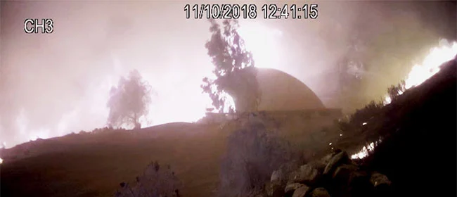
Off-Grid Fire-Prevention Systems
RockBLOCK is a versatile, compact, low-power and dependable way of sending and receiving data from remote homes. It uses the Iridium satellite network, giving truly global coverage and is a vital part of fire prevention systems.
Read more -
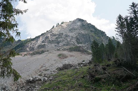
Automated Landslide Monitoring
Slide Sentinel is a fully automated landslide monitoring system using RTK. It regularly monitors landslide activity with high spatiotemporal resolution and centimetre-level accuracy for long-term deployments. Measuring this way aids in early warning information and limits the use of invasive and expensive drilling.
Read more

Satellite Connectivity for Forestry Industries
Ground Control provides satellite connectivity solutions to support forestry operations in remote locations. Our technology ensures reliable data retrieval and monitoring, even in the most isolated areas, enabling forestry teams to stay informed about timber operations, forest conditions, and environmental factors, allowing for timely decision-making.
Contact our team today to discuss how our connectivity solutions can meet your forestry management needs.