Page 1 of 8
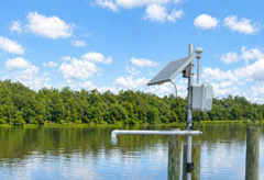
Keeping Flood Monitoring Data Flowing When It Matters Most
How Green Stream Technologies uses RockBLOCK with Iridium satellite connectivity to deliver reliable flood monitoring data from remote, rural, and high risk locations beyond dependable cellular coverage.
April 29, 2026
Satellite-Connected Monitoring Helps Operators Access Alaska’s Tundra Earlier
How beadedstream uses RockBLOCK 9603 to backhaul tundra temperatures, helping operators forecast opening windows & access ice roads earlier.

April 14, 2026
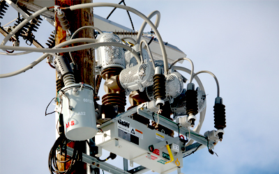
Reliable Remote Recloser Communications Using Satellite Connectivity
How RockREMOTE Mini and Iridium Certus 100 provide reliable IP connectivity for distributed feeder automation environments.
April 8, 2026
Going Wireless in Greenland: Downloading Data from Deep Beneath the Ice
How a team from Cardiff University used RockBLOCK Plus to transmit data from their wireless ‘Cyroegg’ buried under hundreds of meters of ice.
February 19, 2026
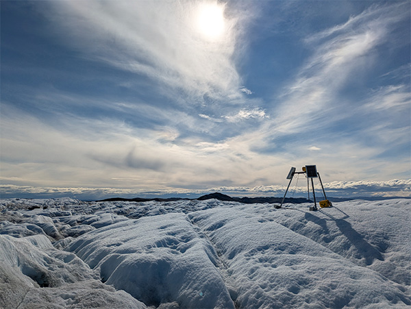
Tracking Glacier Melt on Everest: Satellite IoT in the Western Cwm
Satellite IoT is enabling daily, near real-time glacier monitoring on Everest’s Khumbu Glacier. See how RockREMOTE Mini and Iridium Certus 100 deliver remote data access at 6,500m.

January 8, 2026
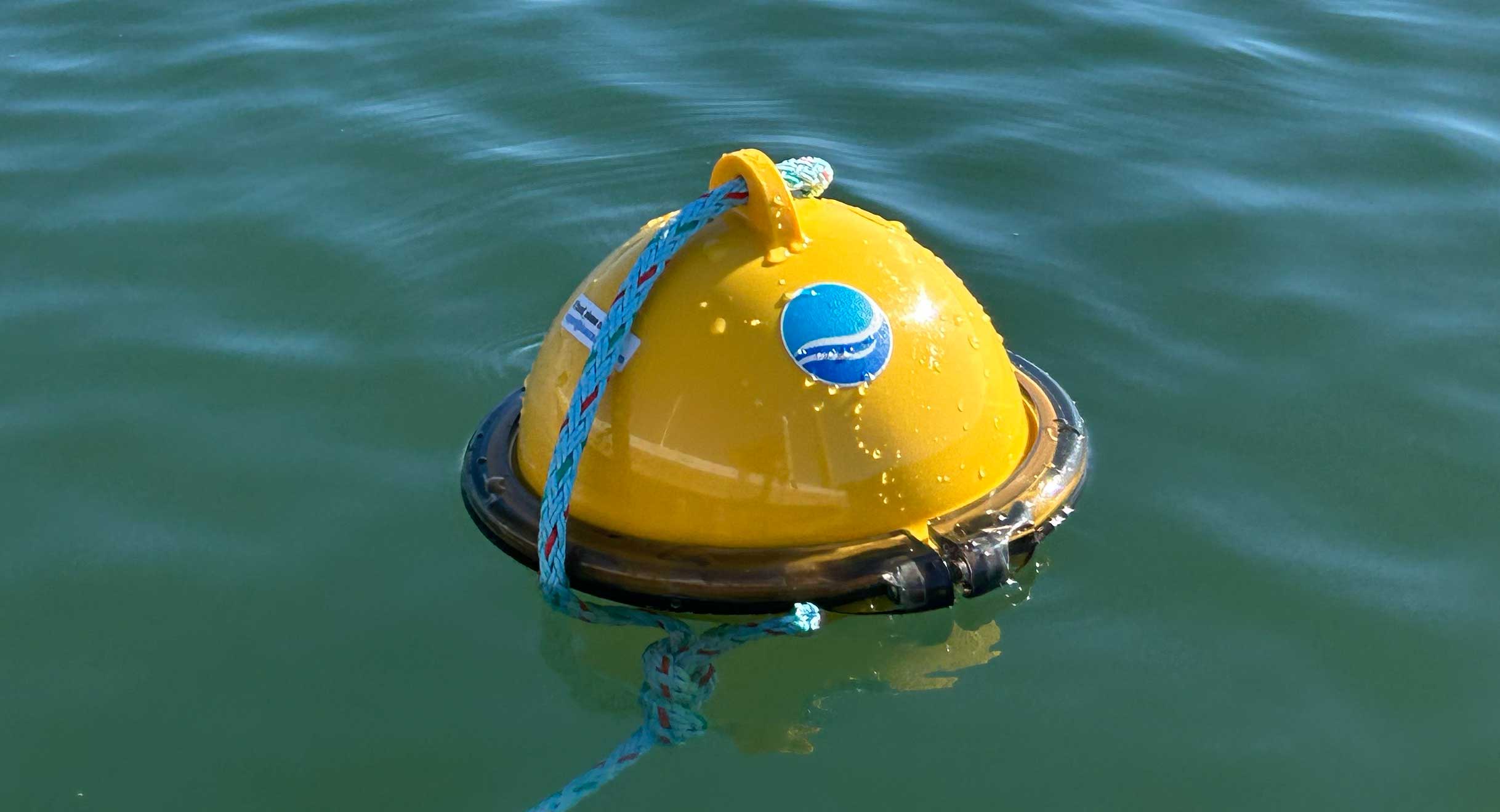
Smart Satellite Buoys Reducing Ghost Gear and Protecting Oceans
How Blue Ocean Gear’s smart buoys, powered by Ground Control’s Iridium satellite IoT connectivity, help fishermen track and recover gear in real time, reduce “ghost gear”, and unlock valuable ocean data.
November 19, 2025
Page 1 of 8