The proven RockFLEET global tracking and messaging system has been selected by Queensland Fisheries as an approved device within mandated schemes to install Vessel Monitoring System (VMS) on all commercial fishing boats in Queensland, Australia. Pivotel has also released the RockFLEET into New Zealand, fulfilling similar VMS regulations implemented by New Zealand’s Ministry of Primary Industry for a range of different fisheries.
Under the terms of the scheme in Queensland, all commercial fishing and charter boats will require a vessel tracking device to be fitted and operational by the end of 2020. Meanwhile, trawl, net, crab, and line boats already require VMS tracking to comply with regulation that came into effect on 1st January 2019.
New Zealand’s VMS regulation has undergone a staged implementation with initial vessels requiring compliance as of the 1st May 2019 with the final group of operators needing to be compliant by the 1st December 2019. Pivotel has found the versatility and configurability of the RockFLEET to be key in meeting the different tracking regulations of both markets.
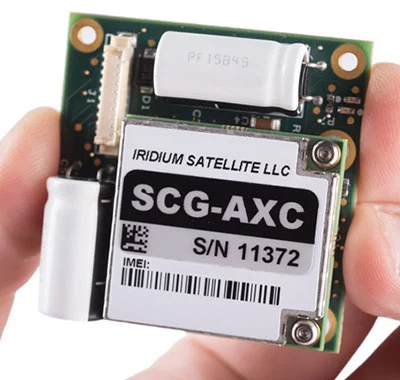
The RockFLEET’s proven reliability ensures skippers can always meet tracking requirements under the scheme. The comparatively low initial hardware outlay and ongoing airtime costs makes the RockFLEET a competitively priced VMS solution. Its compact and lightweight design makes it easy to mount, and installation is made simple through its ability to wire the terminal directly to a battery. The global two-way communication ability, low cost of ownership and the reliability of the Iridium network gives clear advantages over alternative VMS options.
Ground Control has been working successfully in partnership with leading remote communication provider Pivotel to support the RockFLEET devices deployed with Queensland and New Zealand fishers. To date, over 700 RockFLEET units have been installed on Queensland and New Zealand fishing boats. With additional fisheries coming under regulation in 2020, Pivotel will continue to support regulatory compliance for fishers and expects the number of deployed RockFLEET’s to exceed 1,000 units by the end of 2020.
Leveraging Pivotel’s online tracking portal, Tracertrak, the RockFLEET device provides real-time and historical location information to the licence holder. Currently, there is a focus on ensuring the device maintains effective tracking for all Queensland and New Zealand vessels. In 2020, Pivotel plans to expand the capabilities of its Ground Control devices to support SOS alarms, scheduled check-ins, remote messaging, and other device alarms.
Pivotel CEO, Peter Bolger, said: “The partnership between Rock Seven [now trading as Ground Control] and Pivotel has ensured fishers receive informative and timely support for all product queries. The RockFLEET device is a high-quality product that has proven easy to install and operate, but still offers the sophisticated data and coverage that the Queensland fishing industry requires.”
Rock Seven (now trading as Ground Control) CEO, Nick Farrell, said: “RockFLEET provides both Queensland Fisheries and New Zealand’s Ministry of Primary Industries with important information to ensure fishing practices remain sustainable for years to come. Pivotel is providing the highest quality customer service, supporting fishers during this ongoing transitionary period. As a company, Pivotel reflects Rock Seven’s values of quality, reliability and innovation.”