The current landscape and impact of wildfires
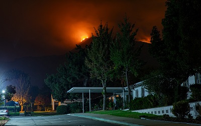
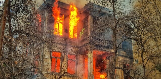
In a recent announcement on wildfire incidents, the National Interagency Fire Center (NIFC) stated that, “through mid-May of 2022 there have been over 25,000 wildfires consuming 1.4 million acres”. This surpasses the 10 year annual average and it’s predicted that climate change will only exacerbate extreme heat and droughts, which along with severe storms, will make wildfire conditions worsen.
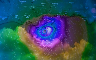
Spring and summer are the peak seasons for wildland fires. The consequences to wildlife can be devastating – ranging from significant loss of forest and areas of natural habitation to risks to residential areas, and from significant animal deaths to severe air pollution. One of the best tools to monitor, manage and even predict the spread of wildfires is through the use of satellites.
The importance of satellite connectivity
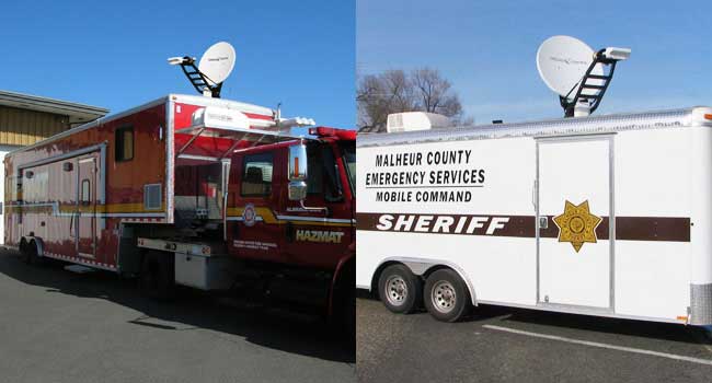
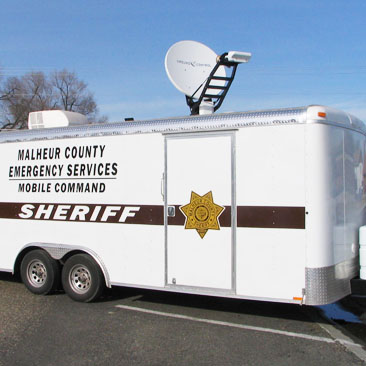
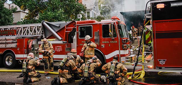
There are usually places within a forest or a remote wilderness area that don’t have adequate traditional communication coverage. When wildfires occur, communications are vital as wildfires can require the coordination of hundreds of firefighters and cover thousands of acres, causing millions of dollars of damage. During these emergency operations, existing cellular and radio communication infrastructure can be damaged, or even destroyed, cutting off the essential communication channels required by firefighting crews, agency headquarters and dispatch offices. The recovery teams and civilians in areas impacted by wildfire rely on critical connectivity tools for collaboration, coordination, and communication among themselves, other ground and in-flight rescue teams.
Responding to fires
Once fire crews are at the scene of a fire, there are four key stages to response:
1. Monitor
Essentially, observing the fire, its behavior and effects to evaluate whether fire management objectives are still being met.
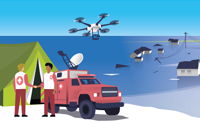
Satellite mapping and drone images enable ground crews to effectively monitor the fire from their base of operations, and even predict the course and spread of the fire.

2. Confine and Contain
Managing a fire perimeter by a combination of direct and indirect actions. Taking the right course of action in this stage of response can reduce the damage and devastation caused by fire.
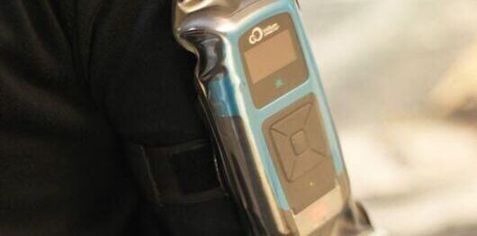
Utilizing portable communication devices such as the RockSTAR, personnel can communicate with one another and base operations with real-time assessments and outcomes of direct and indirect actions.
3. Point/Zone Protection
Assessment and protection of assets or highly valued resources, such as buildings.
Access to cloud-based GIS data for this assessment is helpful as it contains essential data regarding property and ownership.
4. Suppression
This is when teams are deployed, sometimes en masse, to extinguish or limit wildfire spread.
This can take a matter of hours, days or weeks and can involve huge and extensive collaborative efforts between states, agencies and crews to suppress a rampant wildfire. Reliable, robust, internet connectivity to track, monitor and manage personnel and response teams is essential to the safety of fire crews.
The role of satellite communication solutions
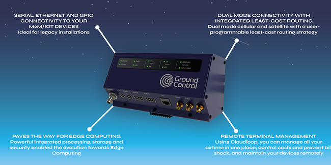
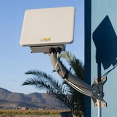
Portable satellite terminals that deploy quickly can be brought into affected areas to effectively replace, or complement, damaged terrestrial networks. As connectivity comes from space and the hardware is mobile and deployed outside of the fire-hit area, it’s always available. While the terrestrial infrastructure that more typically delivers this connectivity may be disrupted or destroyed, satellites are highly reliable and can deliver connectivity, anywhere, without any loss of quality or capability.
Satellite images and weather data also help not only to assess the current situation of fire and the impacted areas, but combined with algorithms, can also help predict the course of wildfires. This will help firefighters to control the spread of fires and reduce damage. The nearest critical supplies can also be located easily from the accurate GPS from satellite data. Furthermore, data messaging systems make it easier to send messages from satellite terminals to firefighters about any changes in weather or wind direction.
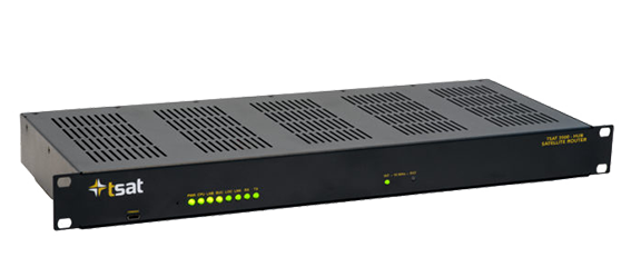
A mobile, portable satellite communication solution – MCD-4800 “The Football”
The MCD-4800 “Mobile Communications Device”, also known as “The Football”, is capable of providing high-speed internet, anywhere in the world, in less than one minute and with no specialist training. The auto-pointing BGAN satellite terminal is rugged, but lightweight, and can be used in extreme weather conditions.
Users simply place the weatherproof case on the ground or any surface with a clear view of the sky, turn it on and close the lid. Within a minute the MCD-4800 becomes a powerful WiFi hotspot accessible by any wireless device within a 100-meter range for up to 5 hours on internal battery power.
This auto-pointing solution uses the high-performance Hughes 9450TW in-motion BGAN terminal integrated with our proprietary mobile electronics for a ruggedized, self-contained, user-friendly, global communications link.
With the adoption of portable, mobile satcoms and internet, the response times to fire events can be vastly improved, communication and coordination with other teams significantly enhanced and advanced warning systems more accurate. Furthermore, the MCD-4800 satellite technology helps promote safety and efficiency of fire crews and responders during fire disaster. The device has already been used worldwide to monitor events, improve responses and drive resilience post-disaster, providing infrastructure support.
Ground Control’s emergency communications satellite equipment meets or complies with all SAFECOM requirements, for emergency interoperable communication equipment.

Can We Help You?
If you’d like to get in touch to discuss potential satellite solutions for your organization or agency, simply email hello@groundcontrol.com, complete the form, or call us.
We have over 20 years’ experience in providing reliable, robust satellite communication solutions, from IoT through to live video streaming, and we pride ourselves on providing expert and objective advice.