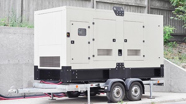
Flying drones Beyond Visual Line of Sight (BVLOS) is the new frontier for commercial and industrial operations. Whether you’re surveying expansive agricultural lands, monitoring critical infrastructure, or conducting environmental research in remote regions, reliable connectivity is the linchpin for mission success. Recognizing this need, we’re excited to unveil Iridium Certus 100 aeronautical airtime plans tailored specifically for drone applications.
Why Satellite Connectivity Matters for BVLOS
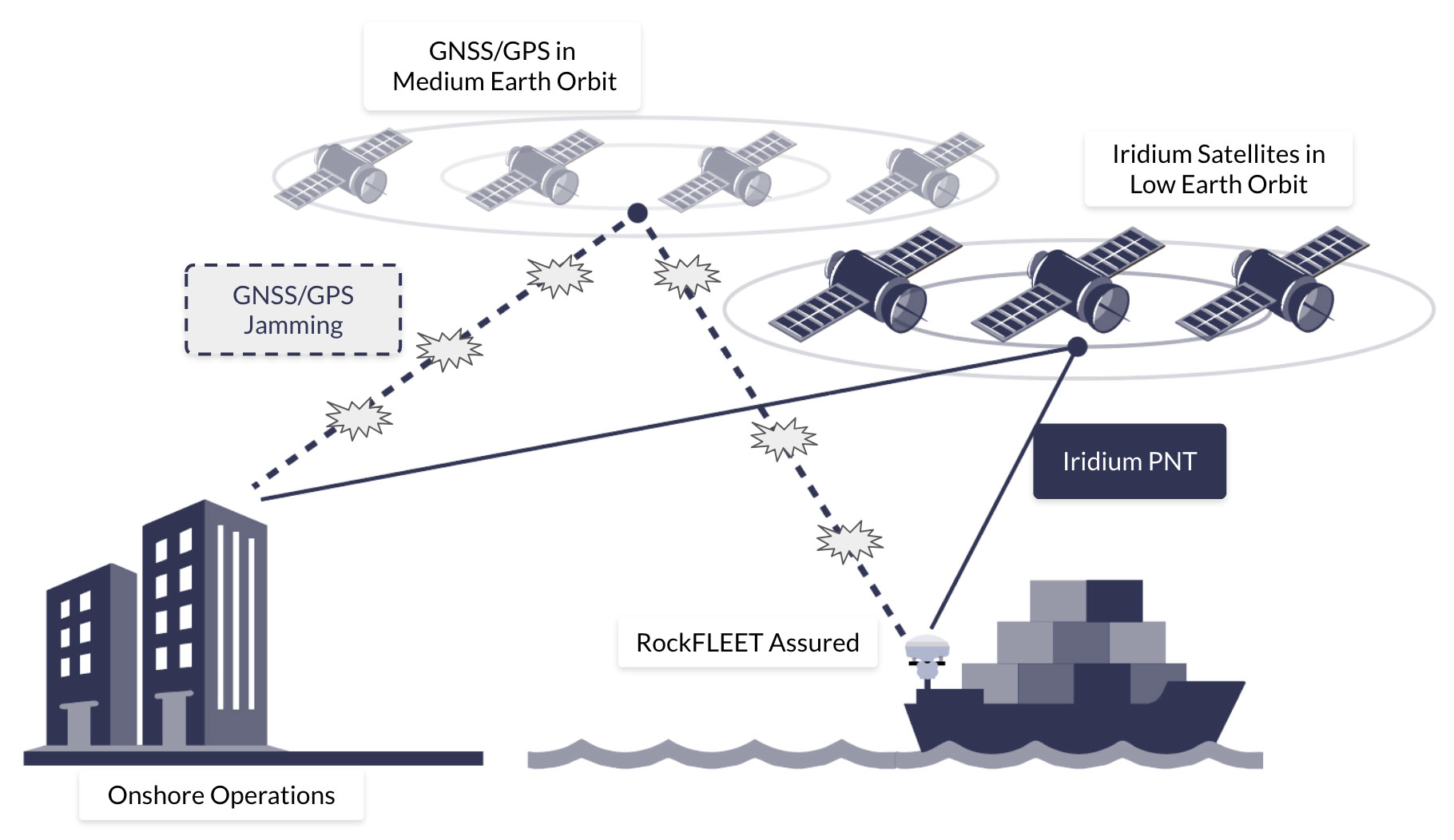
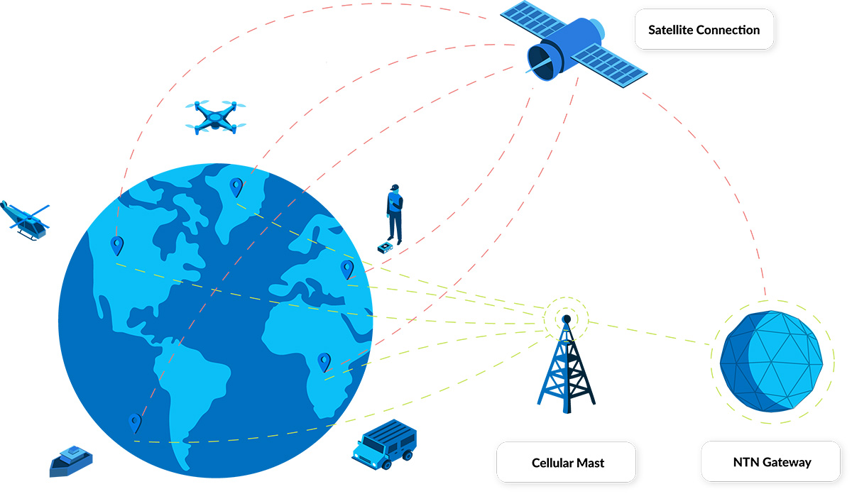
Traditional RF and cellular networks may falter once a drone ventures beyond visual range, leading to dropped links, latency spikes, and potential safety hazards. To mitigate these risks, many aviation authorities now mandate a secondary communication channel to serve as a failsafe if the primary link fails. For example, the EASA requires redundant communication systems for BVLOS flights to ensure operational resilience, while the UK Civil Aviation Authority’s guidance similarly calls for dual-link architectures as part of any BVLOS operational authorization. In the United States, the FAA’s UAS BVLOS Aviation Rulemaking Committee report recommends demonstrating multiple active command-and-control links – or an automated failover scheme combining cellular, radio, and satellite – to secure BVLOS waivers.
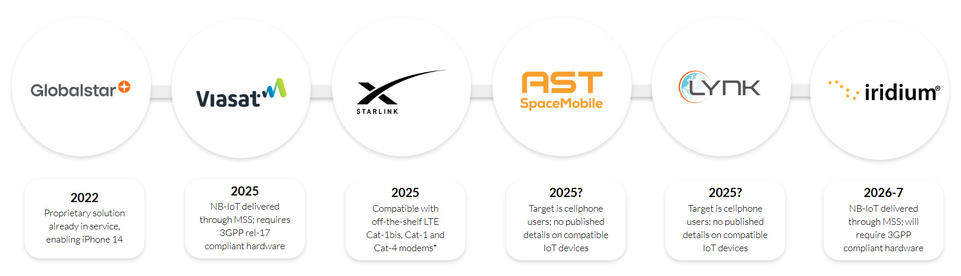
Why Iridium Works Best
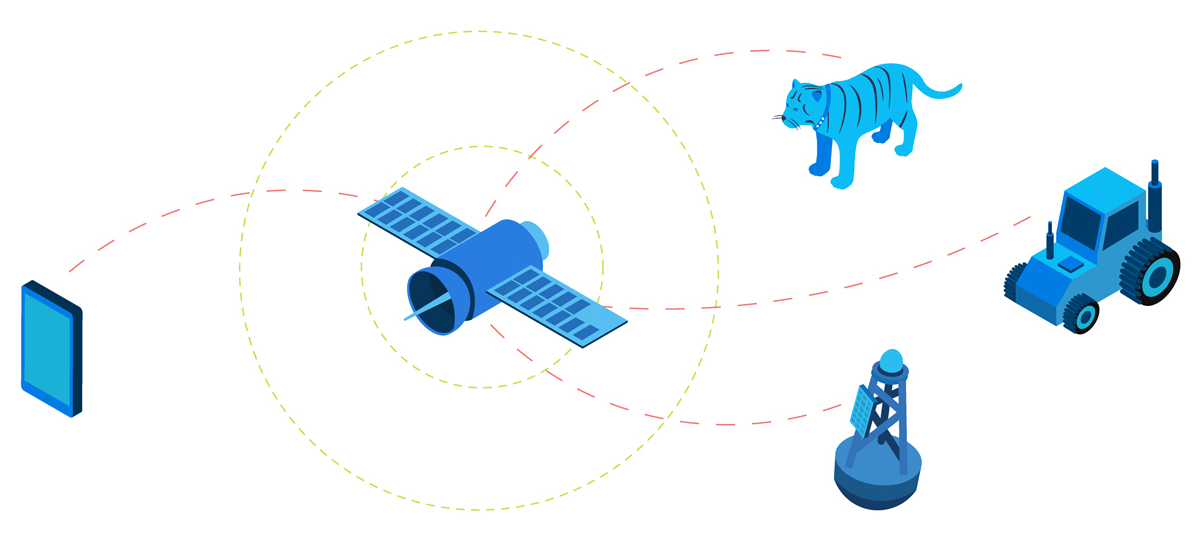
Satellite networks offer coverage with no dependency on terrestrial infrastructure, but that doesn’t mean all satellite networks are the same. In this context, low latency – the time it takes for you to send a command to the drone, and for it to receive it and respond – is critical, and therefore, satellite networks in Low Earth Orbit (LEO) are preferable. This is simply because they are closer to Earth than networks in Geostationary orbit, and therefore the round trip of data takes less time.
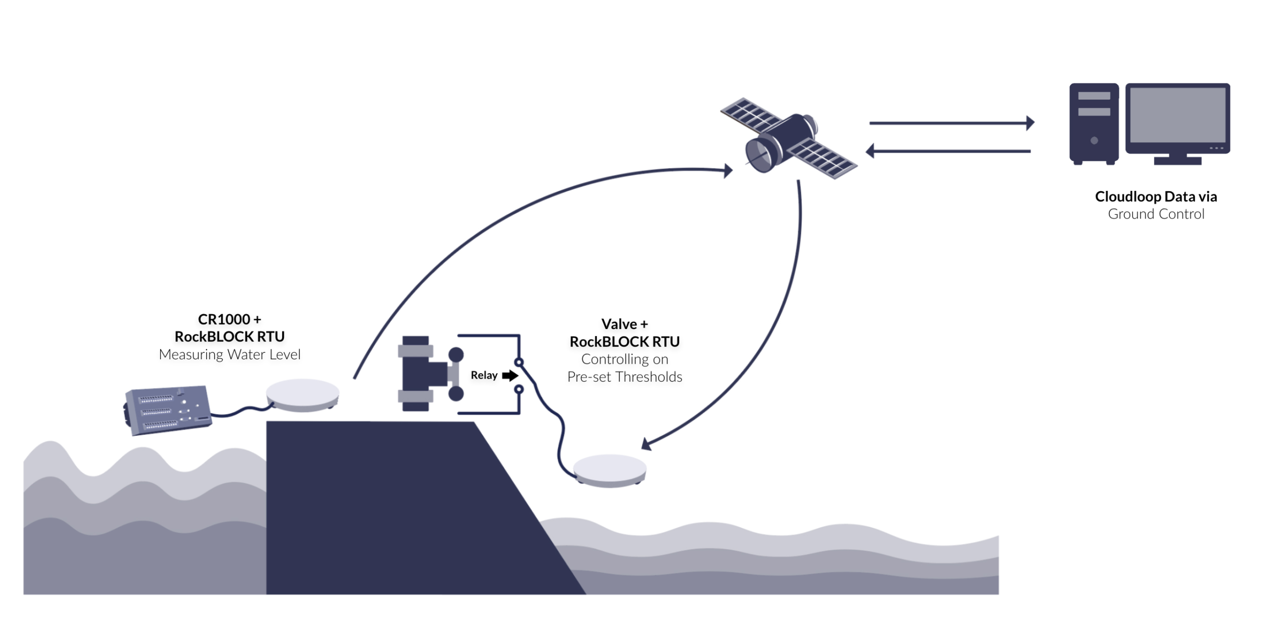
Iridium’s satellite network is in Low Earth Orbit, and further, it utilizes the L-Band radio frequency. L-Band signals are extremely reliable, and penetrate poor weather conditions with ease; ideal for mission-critical applications where you can’t afford to lose contact with your asset.
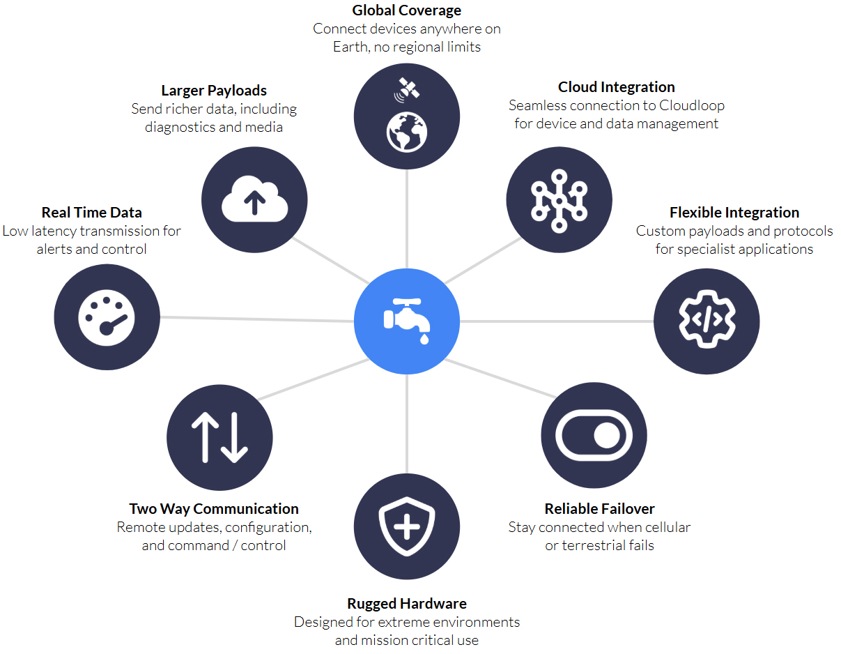
With Iridium Certus 100, operators enjoy 22/88 Kbps of bi-directional data, low latency, and complete pole-to-pole coverage, so your drone’s telemetry, sensor data, and command/control signals remain rock solid. It can be used as a primary or failover means of communication.

Our new airtime plans capitalize on our decades-long partnership with Iridium to provide flexible data bundles that scale from single drone deployments to entire fleets. Whether customers prefer monthly subscriptions, pay-as-you-go usage, or annual commitments, each plan features transparent rates, with volume discounts available for larger scale operations.
Customers who already own an Iridium Certus 100-compatible device can simply activate their chosen plan through Ground Control, eliminating the need for additional purchases or complex installation processes.
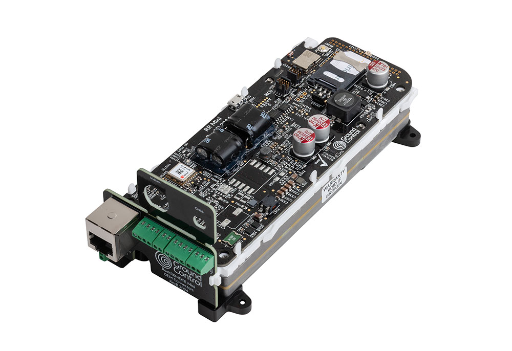
Recommended Hardware for IP Over Satellite
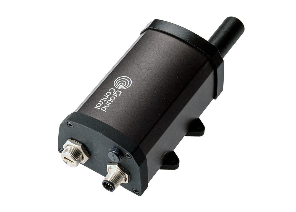
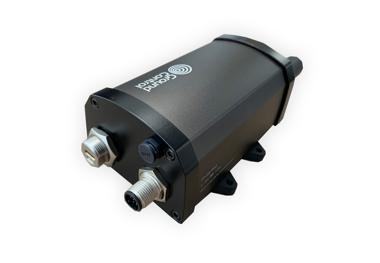
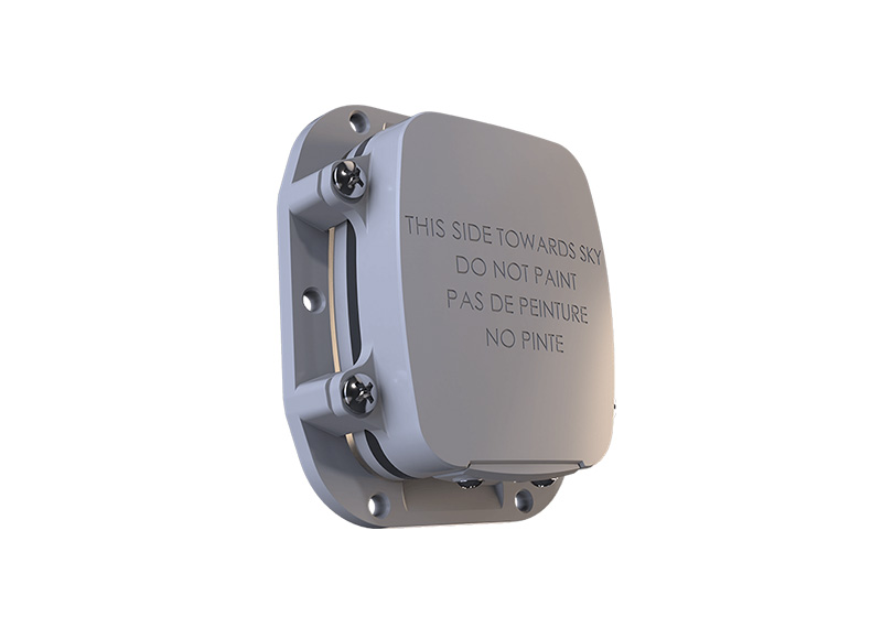
For those seeking an out-of-the-box solution, RockREMOTE UAV OEM provides direct board-level integration of the Iridium Certus 9770 module in a compact, 288 g form factor. Optimized for low power consumption, all non‑RF connections (Ethernet, serial, GPIO) are routed through a single 30‑way header, and installation is as simple as four screw mounts – no external gimbals or moving parts required.
Configuration and firmware updates are managed over Bluetooth LE via a companion app or API, and operators only need to attach the specified MMCX and U.FL antennas for Iridium and GNSS. Rated for operation from –40C to 70C and 95% humidity, RockREMOTE UAV OEM ensures mission-critical stability and performance across extreme environmental conditions.
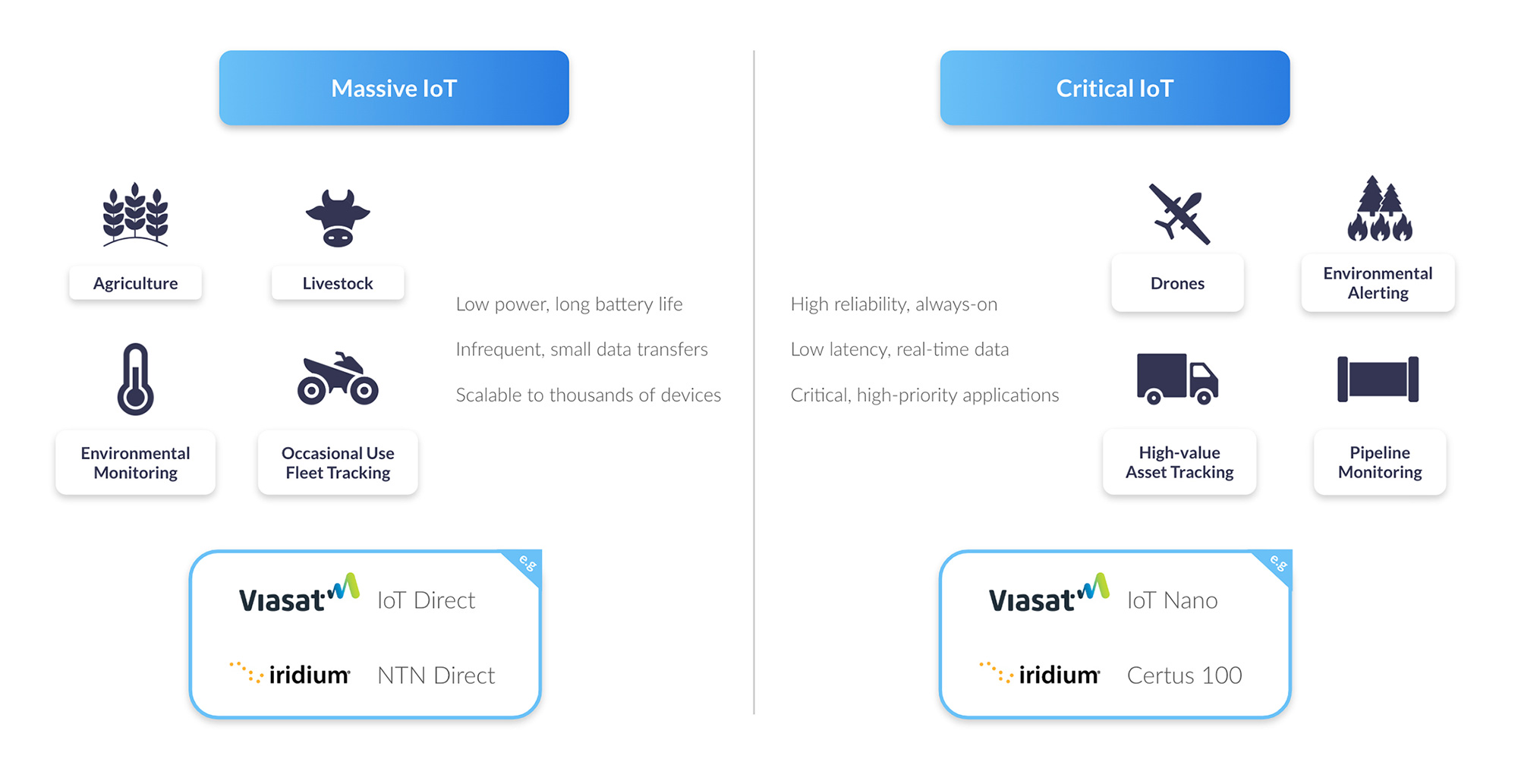
Real-world use cases for these new airtime offerings span multiple industries. In agriculture, farmers can obtain real-time soil and crop health data from remote fields, optimizing inputs and maximizing yields. Renewable energy and utilities companies can conduct continuous inspections of pipelines, power lines, and wind turbines, preventing costly downtime and enhancing safety.
During emergency response missions, drones equipped with Iridium Certus 100 connectivity can relay critical situational data from disaster zones or search and rescue sites, accelerating decision-making when every second counts. Researchers performing environmental monitoring can gather long-range data on wildlife habitats, forestry conditions, and ocean patterns, undeterred by geographic isolation. And for jurisdictions that require communication redundancy, our plans serve as a reliable secondary link, providing an essential failsafe that keeps aircraft controllable even if the primary link is disrupted.
With affordable, reliable satellite connectivity and built-in redundancy now within reach, your BVLOS aspirations can become reality. Ground Control’s UAV-specific Iridium Certus 100 airtime plans can help extend your operational envelope, enhance safety, and unlock new business opportunities.

Would You Like to Know More?
If you’d like to get a quote for your UAV airtime, please complete the form, or email hello@groundcontrol.com, and we will respond within one working day.
It’s helpful if you can tell us more about your application, i.e. what sort of function do you need to perform (command and control in real-time, or the transmission of telemetry on demand, for example); any SWaP constraints; where you’ll be operating the drones etc.