
How We Can Support You
Unlocking Actionable Insights
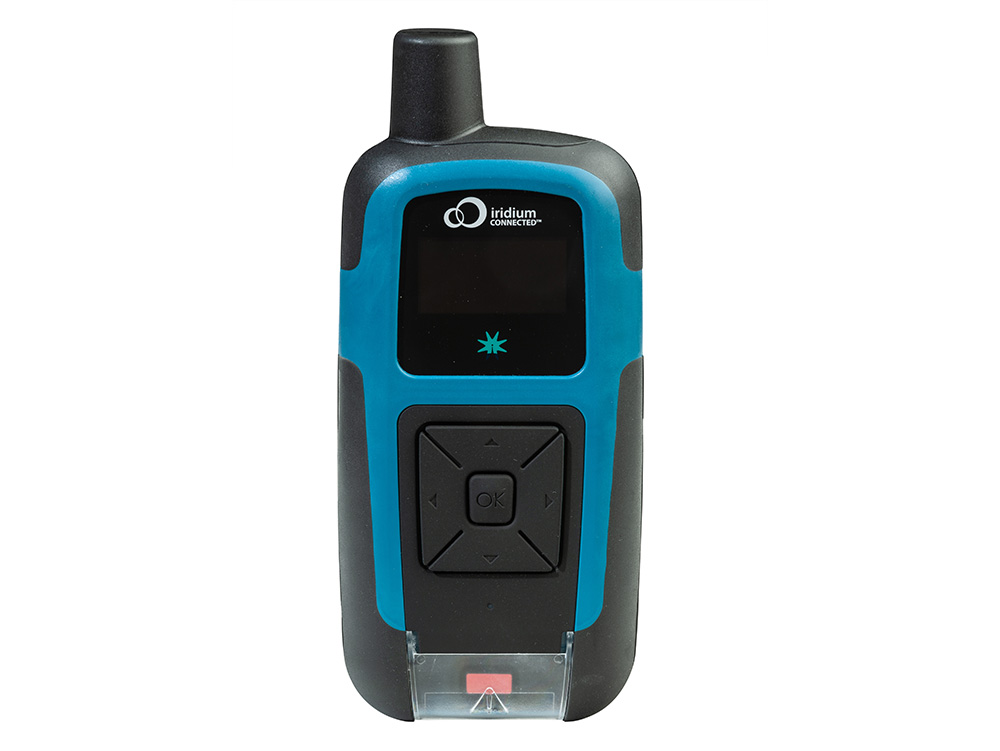
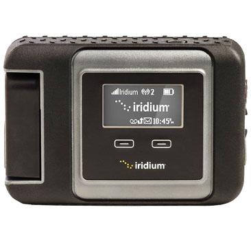
Satellite IoT enables remote asset access, gathering crucial data for informed decision making. Including out-of-range alerts, historical reporting, and reliable and accurate control signals.
Seamless Global
Reach
Satellite technology expands network coverage worldwide, offering both primary and failover connectivity for remote assets. Ensure your operations remain connected, even if the grid stops.
Efficient Sensor Communication
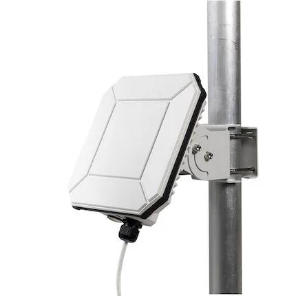
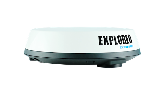
Discover edge WAN terminals, advanced processing, and sensor connectors. Satellite-enabled gateways efficiently connect sensors, ensuring real-time data transfer, analysis, and control.
Connecting the Physical World
Satellite IoT communication isn’t one-way. From triggering automated irrigation to piloting drones BVLOS to increasing the flow of water through turbines; you can command your remote devices.
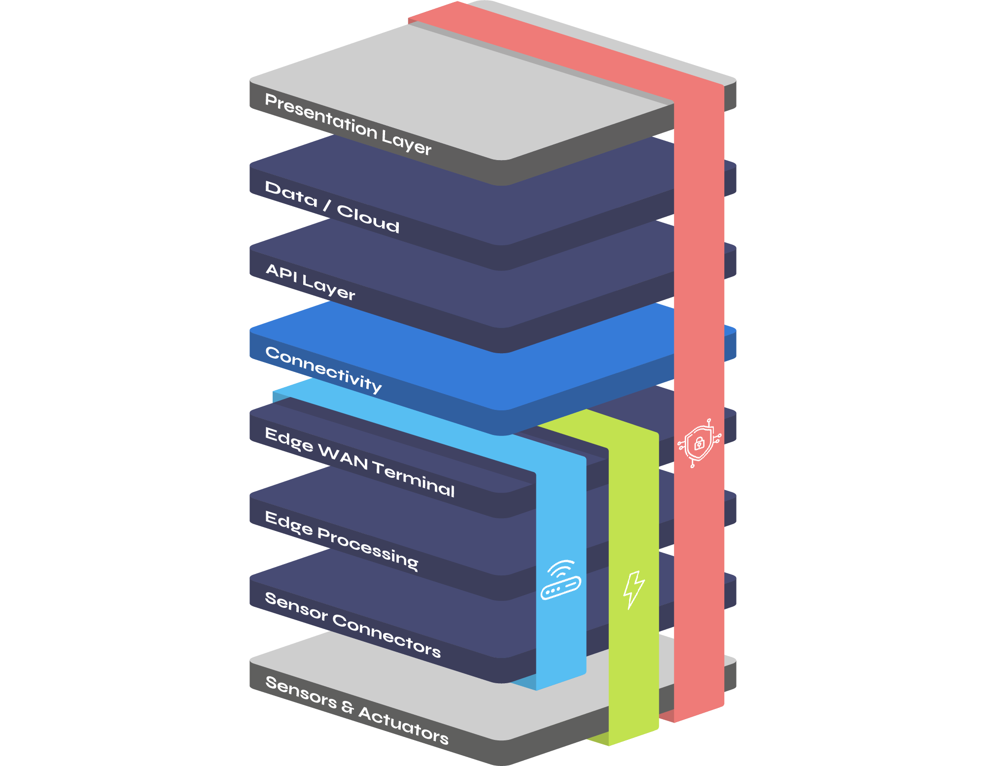
How It Works
The Ground Control IoT Tech Stack
These are the building blocks of the solutions we build for customers. It starts with understanding where your assets are, and whether they’re moving around; data volumes, data security, any power constraints, and the time-criticality of the receipt of your data.
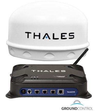
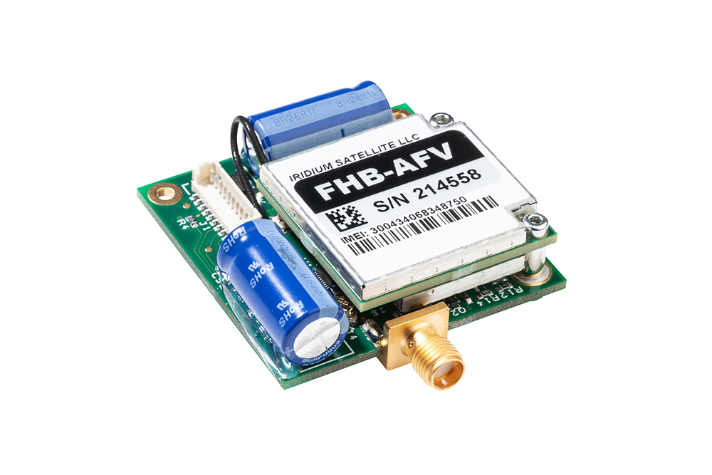
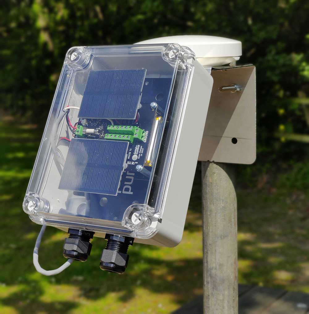
From there we can build all, or elements of, the gateway: connecting sensors, delivering edge processing, and providing the means of communicating with the satellite network. We work with multiple satellite network operators to make sure our customers get the most suitable combination of data throughput, latency, coverage and cost.
Our powerful platform Cloudloop delivers subscription, device and data management for customers. Everything is available as a simplified and well documented API for seamless integration with existing workflows.
Contact us
Empowering Industry
 Data Loggers
 Renewables
Data Loggers
How we support this sector
In remote use cases, poor cellular coverage may affect your customers’ connection and data quality. With satellite connectivity, Ground Control ensures that your customers’ data always reaches its destination, with no dependency on terrestrial network availability.
Utilities
How we support this sector
Accurate, real time data from infrastructure and assets at every point in the supply chain is a must for the Utilities industry. Ground Control can deliver a secure, 360° data view for remote monitoring, enabling effective utility supply orchestration via SCADA, IoT, and M2M solutions.
Maritime
How we support this sector
Satellite connectivity is a must for ocean-bound vessels and data buoys alike, and with Ground Control’s solutions, fishing fleets and yachts have phone, email, voice and data capabilities, wherever and whatever the conditions. We also offer intelligent tracking solutions to aid compliance and route optimization.
Renewables
How we support this sector
Ground Control specializes in affordable satellite solutions for remote Renewable energy sites like wind farms, solar installations, and hydroelectric plants. We design and build hybrid satellite/cellular transceivers for cost-effective data access and real-time asset monitoring, ensuring your critical data is accessible from anywhere in the world.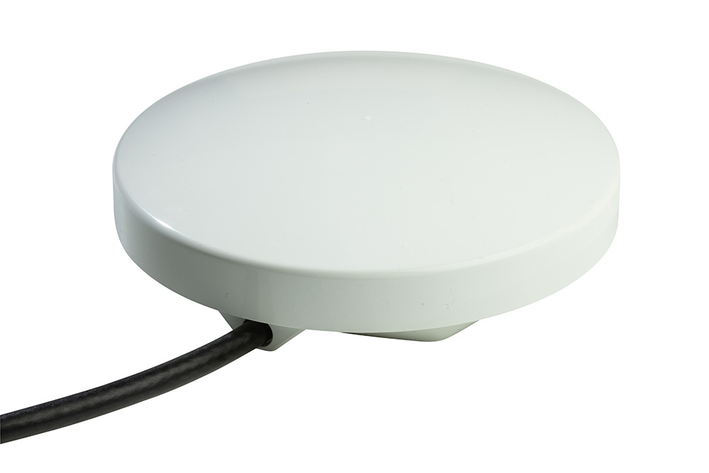
Aviation
How we support this sector
When you’re in a light aircraft or helicopter travelling over remote terrain, tracking and two-way communication is critical, whether you’re operating commercial flights or delivering emergency aid. Ground Control’s solutions provide global coverage for Aviators, reliably transmitting from anywhere in the world.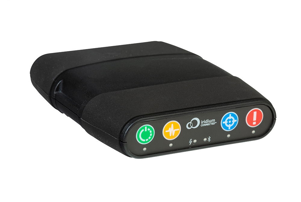
Environmental
How we support this sector
Ground Control supports environmental agencies and research initiatives with reliable, global connectivity. Satellite communications have successfully improved water resource management in drought-affected areas; monitored Tsunami warning indicators, and sounded alarms as appropriate to improve civilian safety; tracked fishing fleets to reduce unsustainable catches - and more.
Military & Defense
How we support this sector
We work with First Responders and Military agencies all over the world, providing real-time, pole-to-pole coverage over land, air and sea. Delivering mission-critical, secure communications, we ensure you’re still able to communicate when the grid stops.
Oil & Gas
How we support this sector
Ground Control can enable substantial operational improvements through the transmission of sensor data from anywhere in the world, no matter how remote. From exploration to flowback testing and drilling to recovery - we’ve got you covered at every stage of the oil well lifecycle.

Latest News
-
 19th April 2024
Bridging the Gap: Addressing Data Inconsistencies in Global Disaster Monitoring
Discover IoT’s vital role in monitoring and warning systems, leveraging AI, ML, and satellite connectivity – and why gaps in data are undermining its efficacy.
Read more -
19th March 2024
A Guide to Satellite IoT for Cellular IoT Specialists
Many of the challenges faced in cellular connectivity – interoperability, coverage, power consumption, data optimization – have parallels in satellite connectivity. If you know what to expect, you can plan accordingly, and save yourself time and money in the long run.
Read more -
16th February 2024
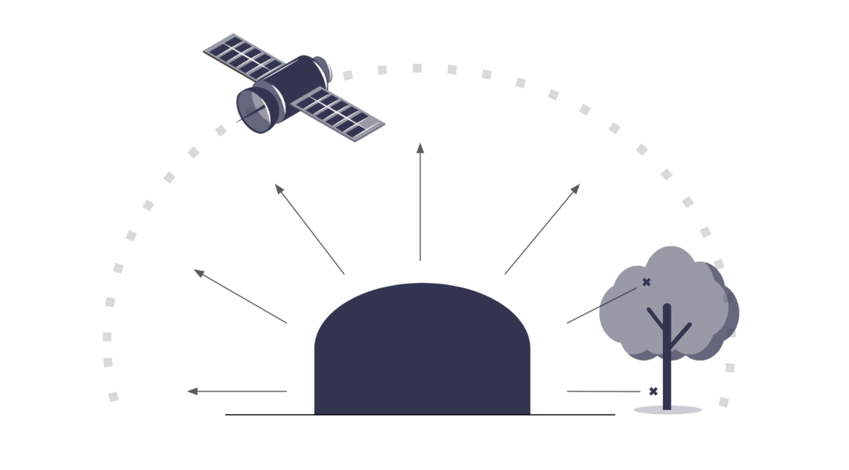
What Does a Clear View of the Sky Mean?
Not having a clear view of the sky can disrupt your satellite transmissions, leading to reduced accuracy & reliability. Here’s how to check that your antenna is located appropriately to avoid these pitfalls.
Read more -
23rd January 2024
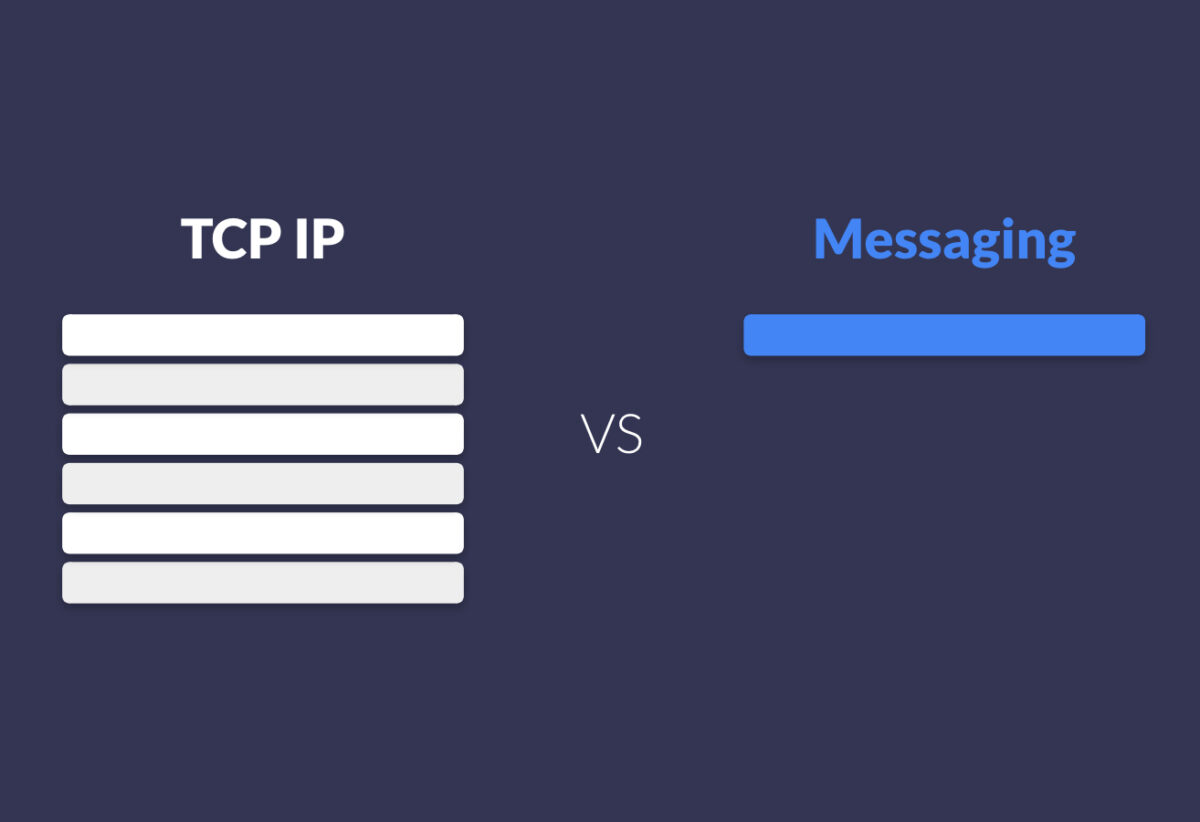
IP vs Messaging for Satellite IoT Data Transmission
We discuss the cost and efficiency considerations of choosing between IP and messaging for satellite IoT data transmission, and the importance of selecting the most suitable method based on specific applications.
Read more -
5th January 2024
The Vital Role of LEO Satellites in Safe and Secure UAV Drone Operations
UAV operators seeking to pilot drones BVLOS need to have complete trust in their communication channels. Increasingly, LEO satellites are used as a failover. Our blog post explores why, how and where.
Read more


Here to Help
With 20 years of experience, we can help you make the best choices for your critical communication infrastructure.
We’re not invested in selling you a specific product or connections, just the best solution for your needs.
UK: +44 (0) 1452 751940
USA: +1.805.783.4600