The Internet of Things (IoT) market is set to grow globally by 18.8% over the next five years, fueled by advancements in 5G and AI technologies, rising demand for automation, and the expanding application of IoT across various industries.
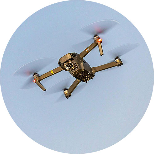
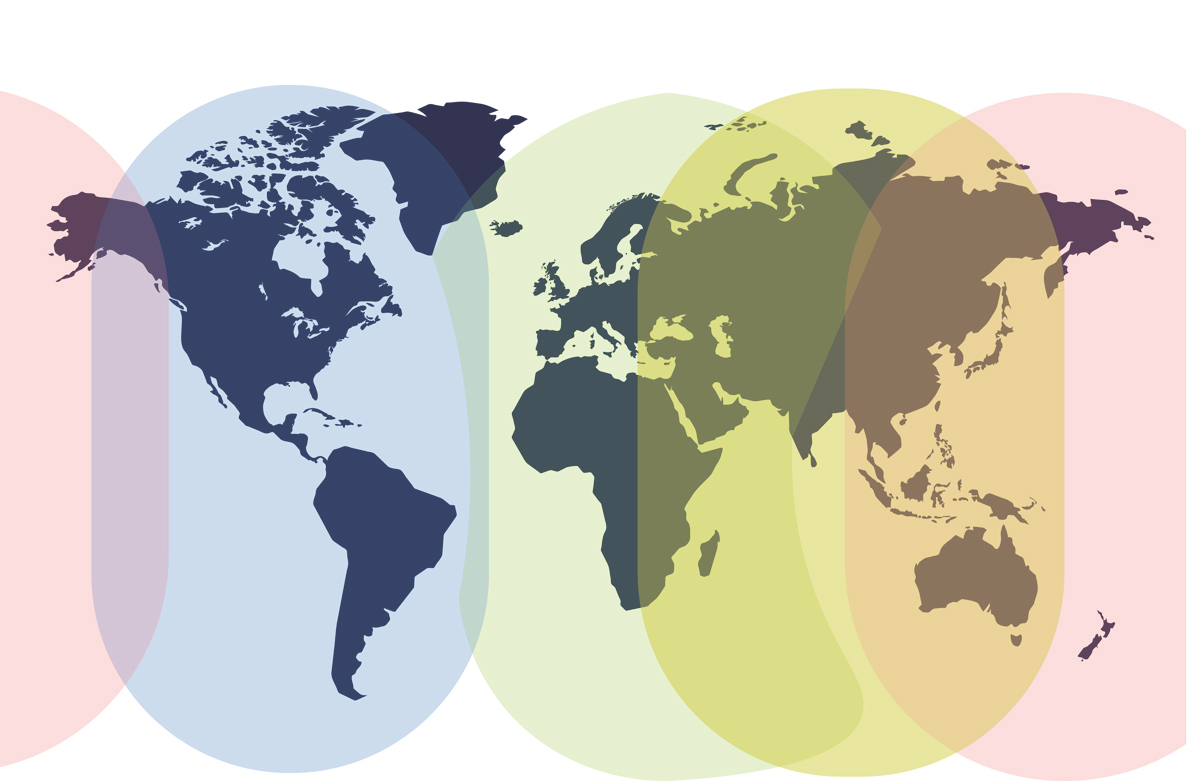
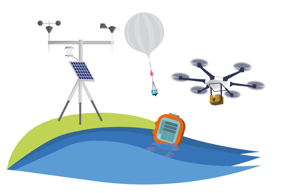
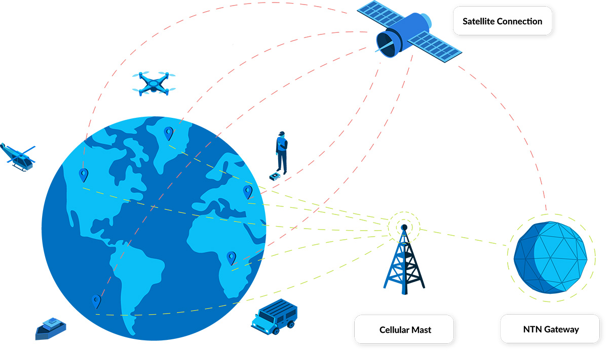
For IoT applications in remote areas beyond the reach of 5G cellular towers, such as environmental monitoring and asset tracking in isolated regions, mountainous terrains, open oceans, and across multiple borders, continuous connectivity remains a challenge. In these scenarios, businesses often turn to satellite IoT, but the perceived high cost and apparent lack of interoperability with terrestrial networking technology may present barriers.
Direct-to-Device (D2D) technology is emerging as a transformative solution to these challenges, poised to revolutionize the IoT marketplace. But before we get to that, let’s clarify what’s meant by the various “direct-to-cell, direct-to-device, direct-to-mobile” terms being bandied about.
What is Direct-to-Cell?
Direct-to-Cell (D2C) is a form of satellite connectivity that enables smartphone users to perform basic functions like texting, calling and basic internet browsing when outside of cellular coverage, with no modifications needed to their cell phone.
This service can be provided in one of two ways: firstly, the satellite network operator (SNO) may partner with a mobile network operator (MNO), and provide the service using the MNO’s licensed terrestrial radio frequencies. In order to do this, both the SNO and the MNO need to use the same waveform technology, e.g. 4G/LTE. This requires the satellites to be designed and deployed with this capability; effectively, it is the satellite that is modified to work with the device, rather than the device being modified to work with the satellite. An example of this is Starlink’s partnership with T-Mobile in the USA.
Secondly, cell phone manufacturers can update their devices to allow them to talk to satellite constellations. This can either be delivered through proprietary solutions – i.e. the handset is updated to allow it to ‘talk’ to a single satellite constellation only (for example, Globalstar’s partnership with Apple) – or via a standards-based solution which can talk to multiple compatible networks, i.e. 5G NTN (NR, NB-IoT, eMTC).
In the case of the latter – where the necessary adjustments are made on the cell phone rather than the satellite – there are a limited number of smartphones that have been made compatible with 5G NTN, including the Google Pixel 9; we’d expect to see this increase in the future.
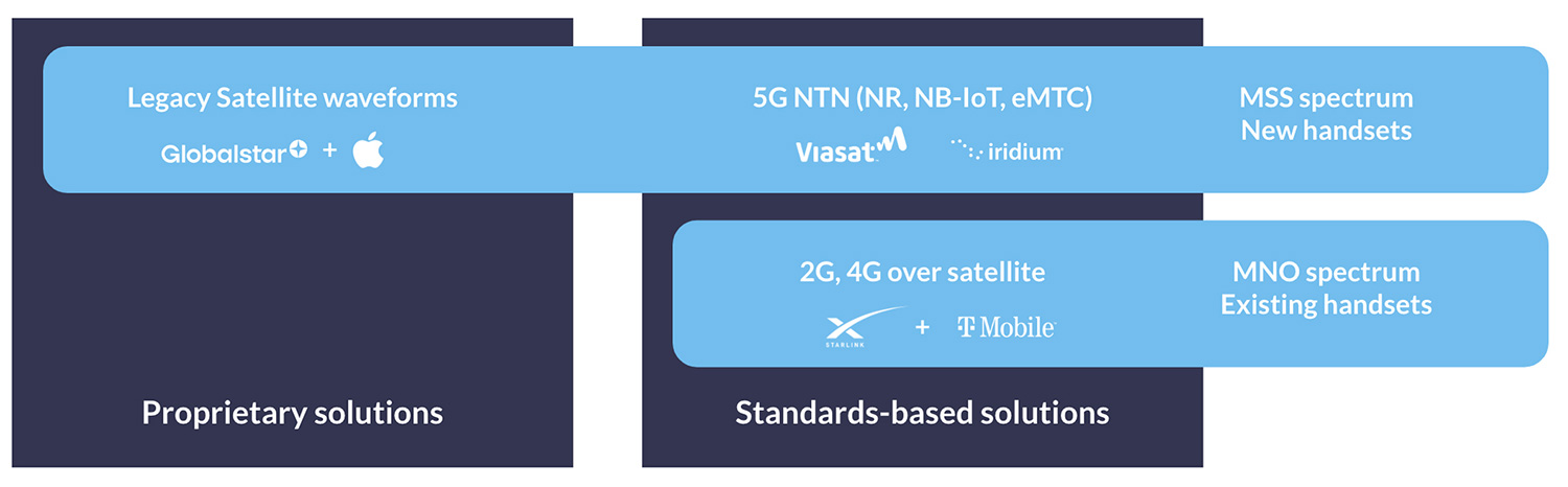
Image credit: Peter Kibutu, Advanced 5G NTN Technology Lead, TTP
What is Direct-to-Device?
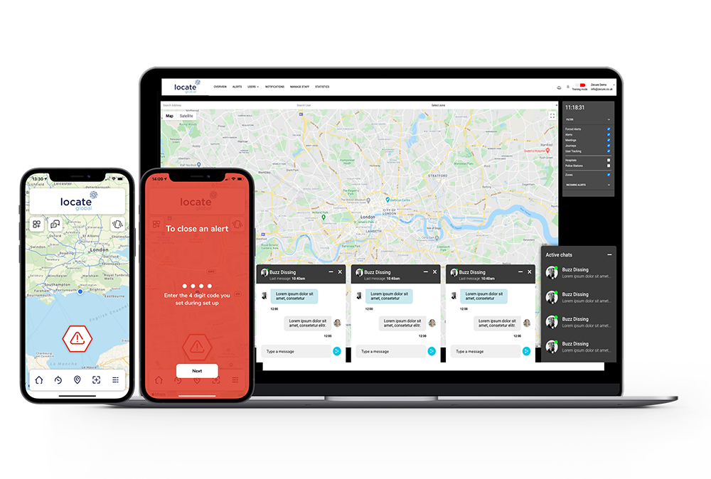
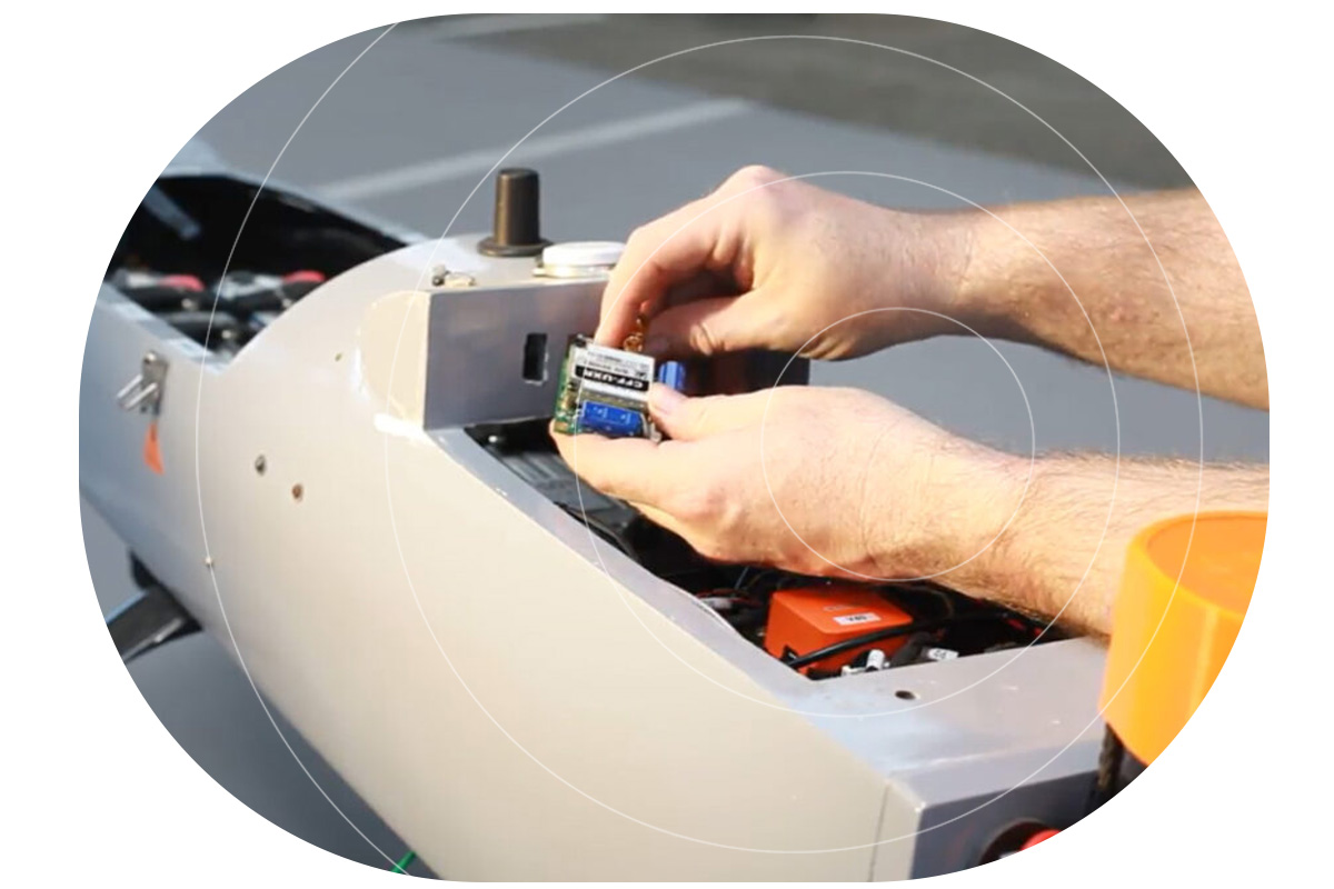
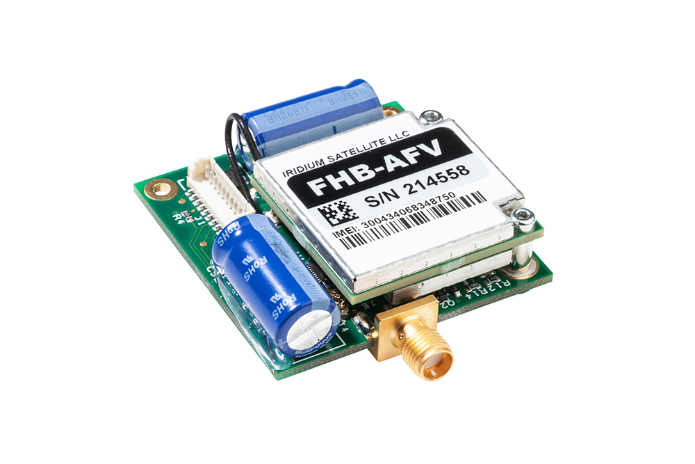
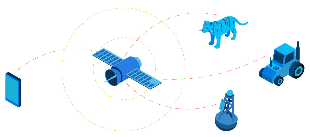
Direct-to-Device (D2D) enables unmodified IoT devices, such as asset tracking beacons and temperature sensors, to transmit data over satellite when cellular is not available. This means that no extra hardware or software is needed to deploy a sensor outside of cellular coverage, or to monitor an asset moving in and out of cellular connectivity.
The difference between Direct-to-Cell and Direct-to-Device is simply the device being connected; in the case of the former it refers to cell phones; in the case of the latter, to IoT devices. They are often used interchangeably – Starlink, for example, refers to both phone and IoT device connectivity as Direct to Cell, whereas analysts Deloitte refer to both as Direct to Device.
For the purposes of this post, we’ll be focusing on IoT applications, and will stick to ‘Direct to Device’.
How Does D2D Work?
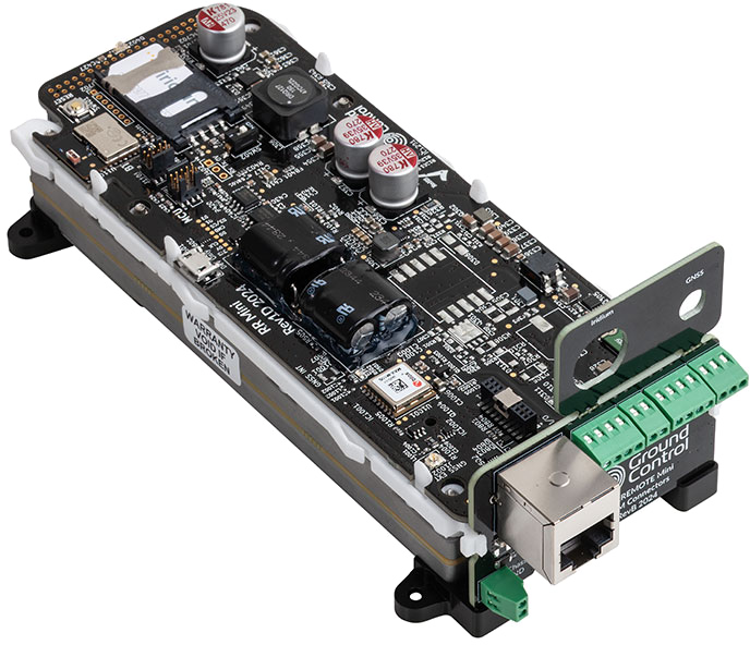
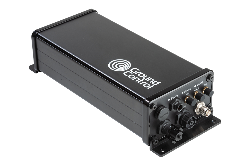
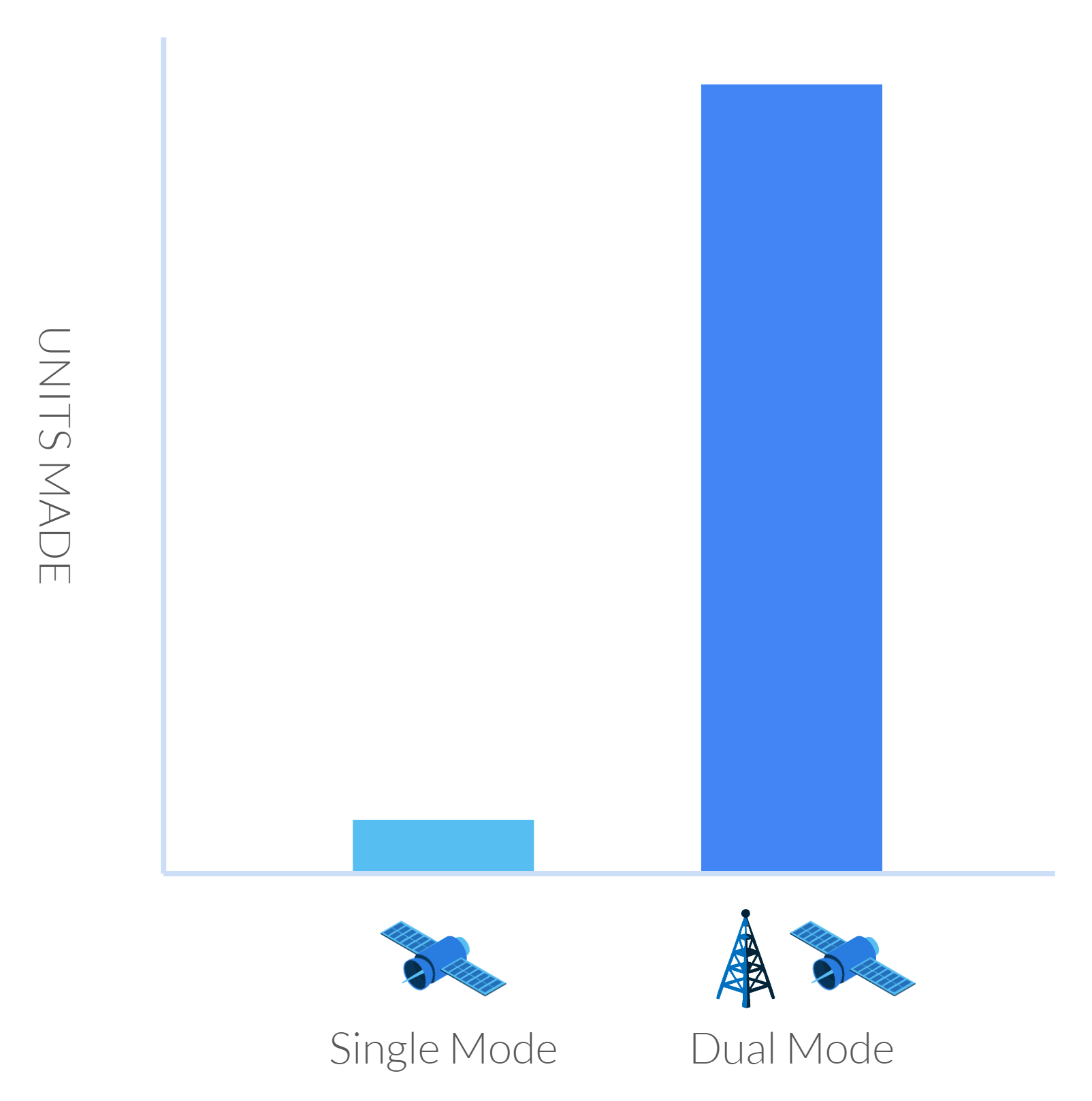
Similarly to D2C, there are two ways to deliver D2D. The first is to launch new satellites specifically designed to talk to existing IoT devices, and the second is to add an inexpensive chip to IoT devices so that they can talk to existing satellite networks. This could either be a proprietary chip, which allows the device to speak to a single satellite network, or a standards-based chip, which, in theory, would allow the device to roam on to any network built to the same standards.
There are pros and cons to each approach; in the case of purpose-built satellites, the main plus is that there is a large market of existing devices. However, as we will see, there are performance, spectrum, funding and regulatory challenges to overcome. In the case of new chipsets, whether standards-based or proprietary, it will take time for these to be developed and deployed at scale.
“What technical approach will predominate—one where chipsets in smartphones power satellite communication or where satellites act more as space-based cell towers enabled by network-on-the-edge architecture? In either case, advancement in both satellite and smartphone technology will likely be necessary to enable the full potential of D2D.” – Deloitte Center for Technology, Media & Telecommunications
What Role do Standards-Based Technologies Have to Play in D2D?
There are three cellular-based technologies designed for widespread IoT devices: NB-IoT, LTE-M, and LTE Cat 1. There are lots of blog posts dedicated to the pros and cons of each technology; as a very quick summary, NB-IoT and LTE-M use less power than LTE Cat 1, but LTE Cat 1 has higher data rates and lower latency.
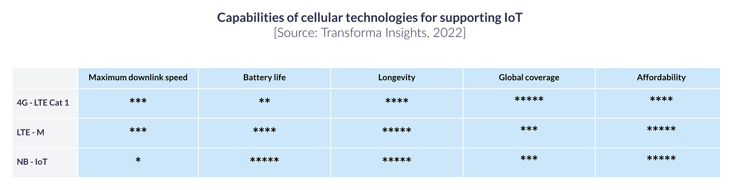
LTE Cat 1 is available wherever there is a 4G LTE network; which covers most of the Earth’s population centers. LTE-M and NB-IoT network technologies are less widely available; 253 mobile network operators have launched NB-IoT or LTE-M networks in 81 countries, of which 173 operators have focused on NB-IoT, and 80 have focused on LTE-M (source).
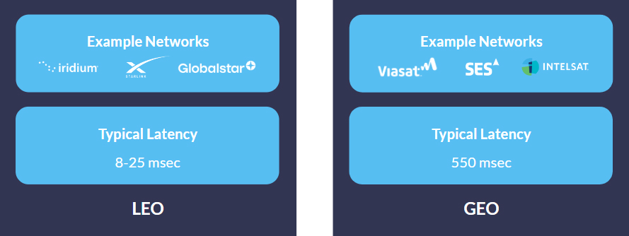
The satellite network operators working on the delivery of D2D have not all chosen the same cellular technology. Starlink, AST Space Mobile and Lynk have all selected LTE Cat 1, whereas Iridium and Viasat have chosen NB-IoT.
This is probably because the more power-hungry LTE Cat 1 technology would create too great a resource drain on legacy satellite constellations which were not built for high volumes of high speed internet traffic. Equally, where there is no cellular infrastructure, there is often no power source, so an NB-IoT device that can last for years on a single battery is an appealing proposition.
Ultimately, systems integrators will need to make an informed decision about the most suitable technology for their requirements, based on service availability, data volume, latency, and power supply; this will then determine on to which networks their devices can roam.
Who are the Satellite Operators in the Direct-to-Device Market?
LTE Services: